Utah has so many amazing national parks and natural sights that we see something new every time we travel to the state. One of the national parks that we had not visited before was Capitol Reef National Park.
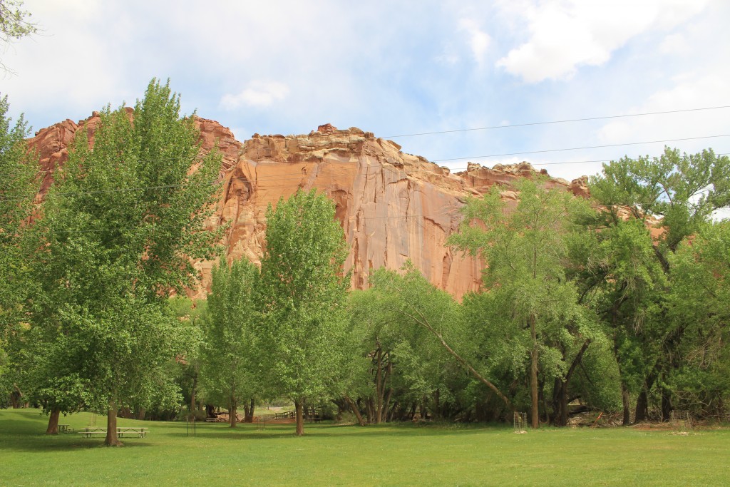
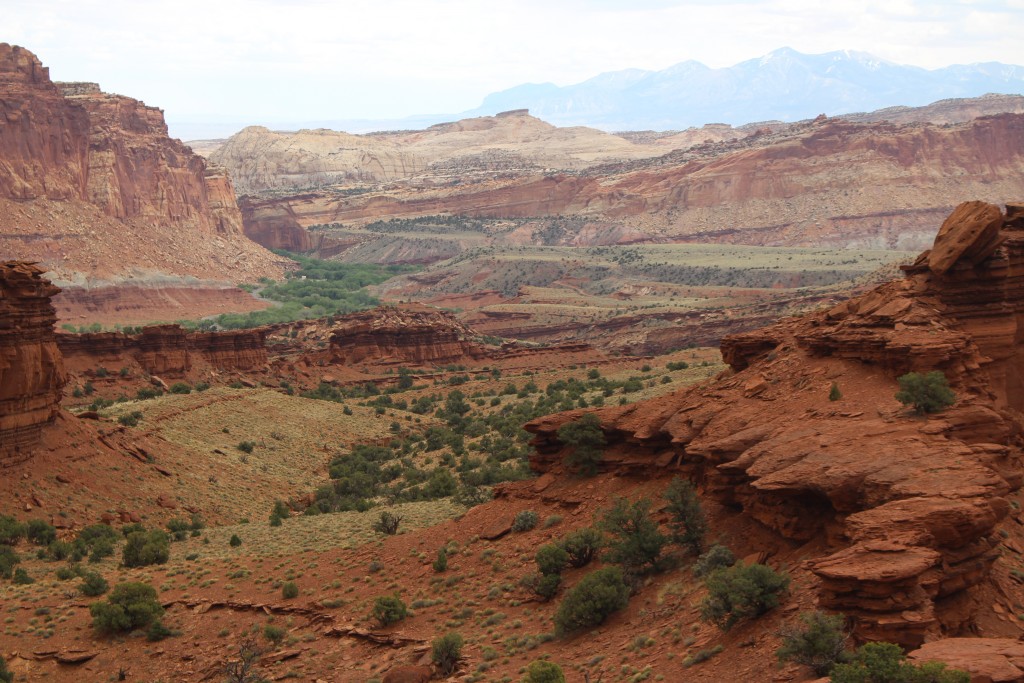
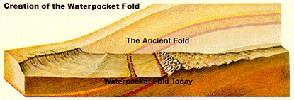 Capitol Reef is at the southern end of the San Rafael Swell but is it’s own unique geological wonder – the Waterpocket Fold. A nearly 100-mile long warp in the Earth’s crust, the Waterpocket Fold is a classic monocline: a regional fold with one very steep side in an area of otherwise nearly horizontal layers. The rock layers on the west side of the Waterpocket Fold have been lifted more than 7,000 feet higher than the layers on the east.
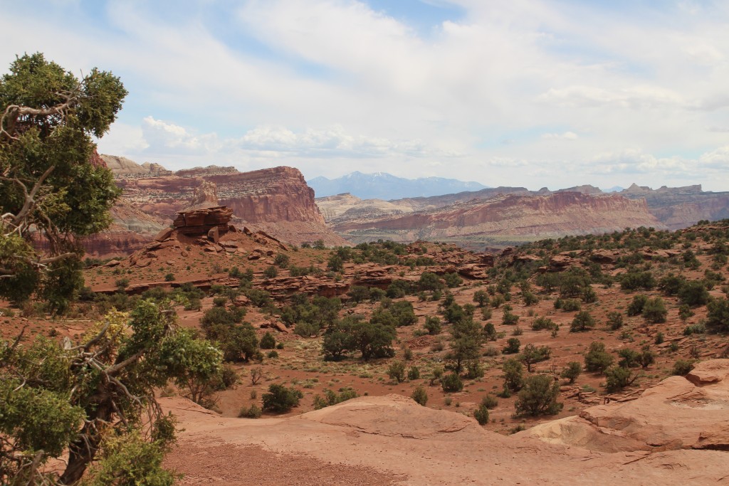
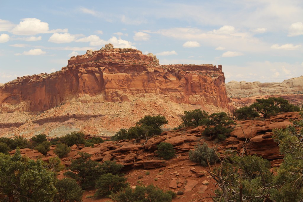
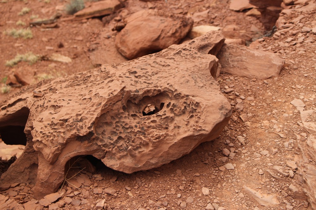
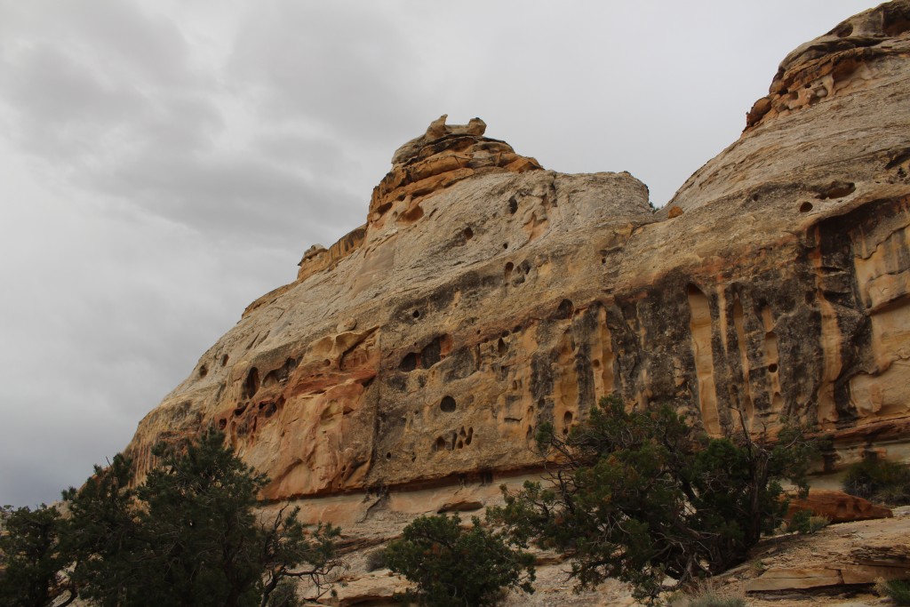
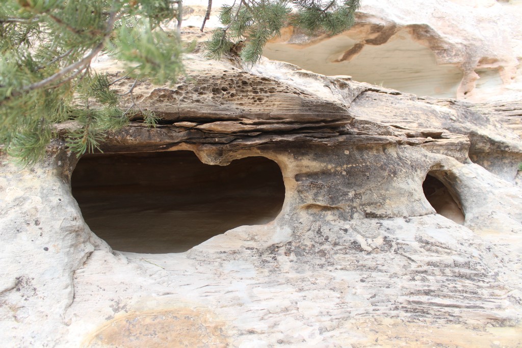
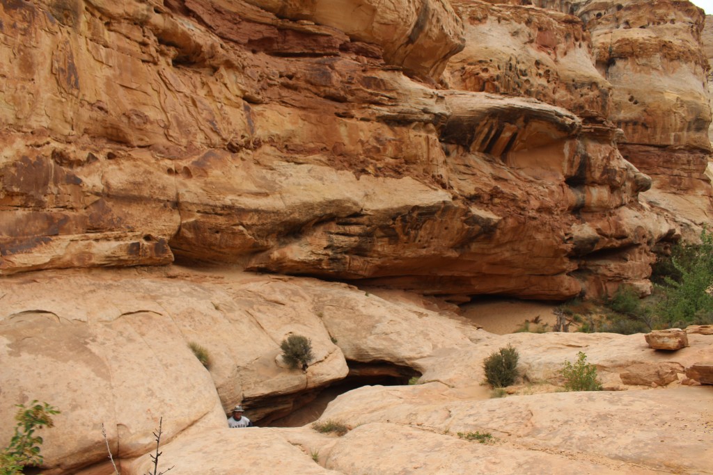
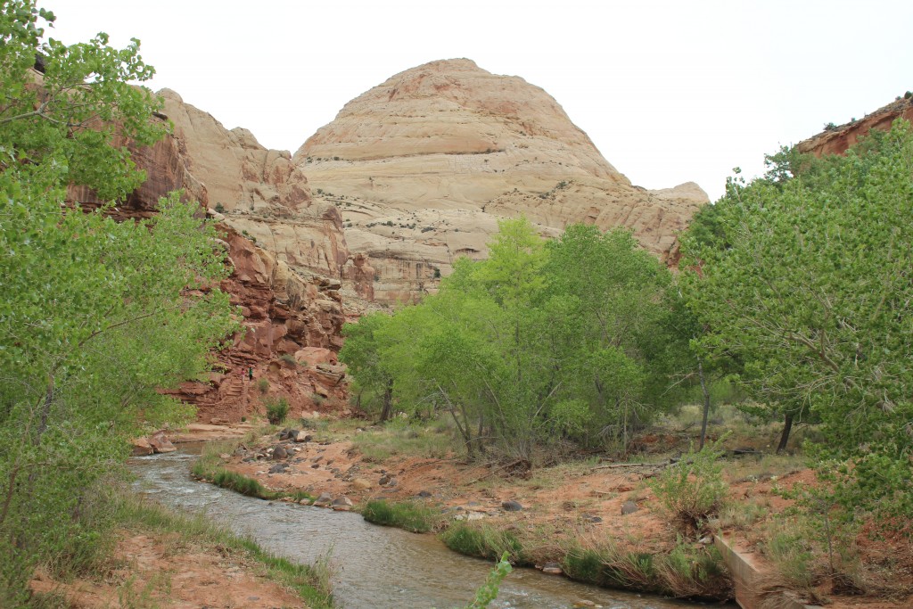
The name Waterpocket Fold reflects the ongoing erosion of the rock layers. “Waterpockets” are basins that form in many of the sandstone layers as they are eroded by water. These basins are common throughout the fold, thus giving it the name “Waterpocket Fold”. Erosion of the tilted rock layers continues today forming colorful cliffs, massive domes, soaring spires, stark monoliths, twisting canyons, and graceful arches.
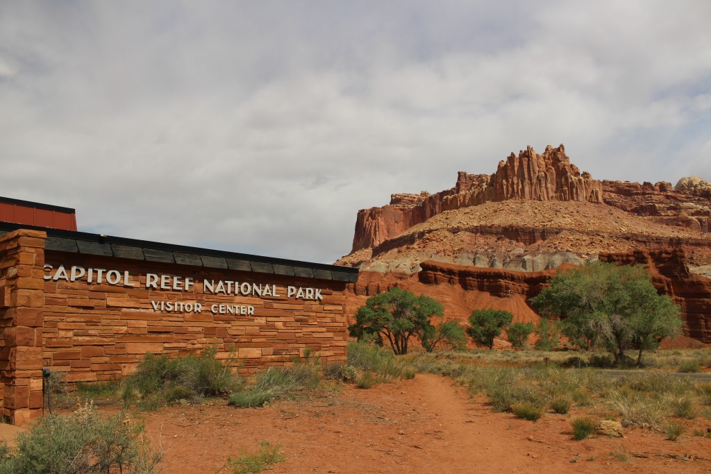
Capitol Reef got its name from the white domes of Navajo Sandstone that resemble capitol building domes, and the rocky cliffs which are a barrier to travel, like a coral reef. Capitol Reef National Park is 100 miles long but only 30 miles wide at its widest. Most activity in the park centers on the middle section with the only road that goes through the park, Utah 24.
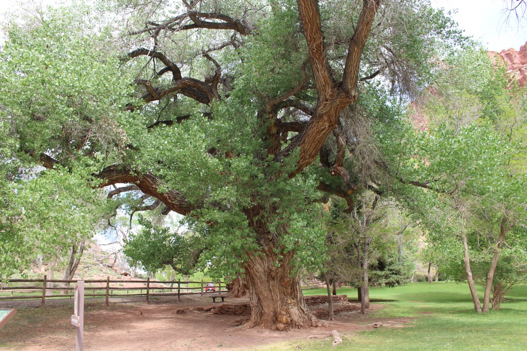
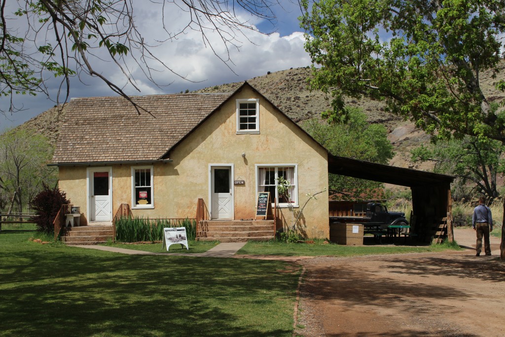
The Fremont River runs through this section of the park, carving out a canyon that made the road possible. Mormon settlers carved out a small town in the heart of the Reef and created an orchard and verdant meadows in the middle of the harsh and rugged landscape. They called their town “Fruita” and several of the buildings are still standing today in the park. Unfortunately the valley flooded frequently in the spring and was impassable due to heavy snow in the winter so eventually the settlers abandoned the town.
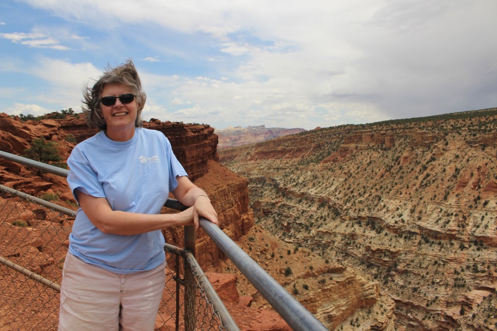
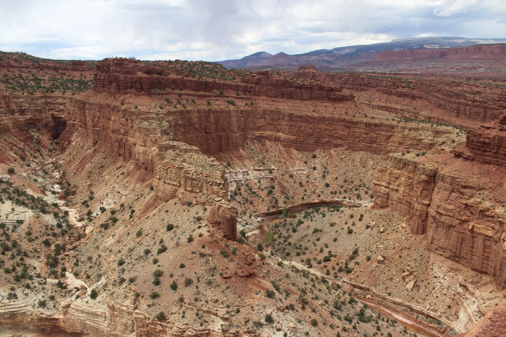
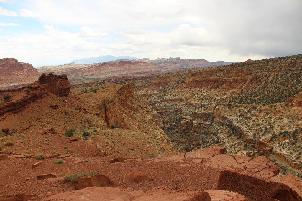
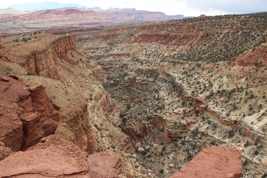
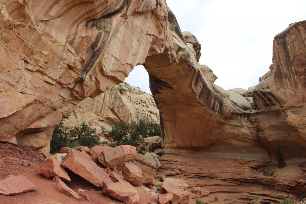
Tom and I stopped at the Visitor Center to pick up a trail map and watch the interesting video on Capitol Reef. Then we walked around the town of Fruita, especially enjoying our stop at the Gifford House which sold homemade pies and cinnamon rolls (yum!). We drove the scenic road south to the end of the pavement and then north to Chimney Rock where we hiked to the Goosenecks Overlook. We hiked to the Hickman Bridge, a natural arch, on our way out of the park.
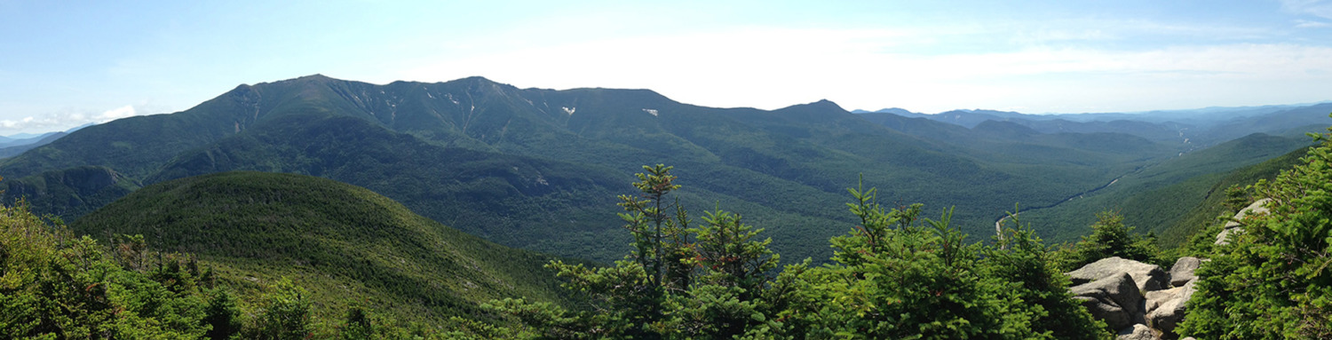
The weather had been threatening rain all day, and we could see lots of ominous clouds, but we only got rained on a little on our way out from Hickman Bridge. I could write a lot more description about the park, but the pictures tell it best, so here is a slide show of my best shots.