Although Tom and I have been visiting the National Parks and monuments around us, we don’t have to drive very far to go on a good hike. In between “weekend” trips, we are also taking shorter hikes in the surrounding area. Kanab has an excellent selection of hikes and has a very nice trail map for each of these shorter hikes. These hikes are a good way for Tom and I to get some exercise, see the beautiful area, and stay close to home. I decided to combine two hikes into one blog post: Catstair Canyon and Squaw Trail.
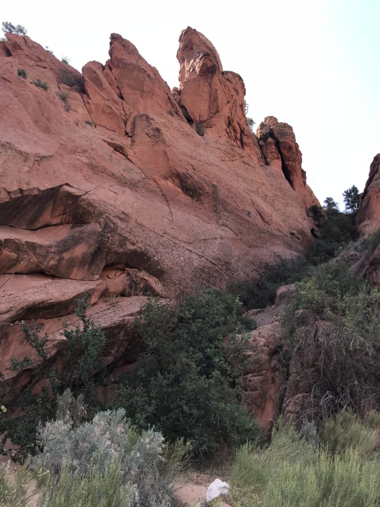

Catstair Canyon is one canyon with a dry fall in the middle that makes it beyond my abilities to get from one side to the other. The canyon is located in Grand Staircase Escalante National Monument just outside Kanab. Catstair Canyon cuts through a monoclinal fold that Tom admires whenever we drive by on US 89. The hiking map told us exactly where to park but we still managed to drive by it the first time. We hit it going back and pulled into the area off US 89 next to the canyon.
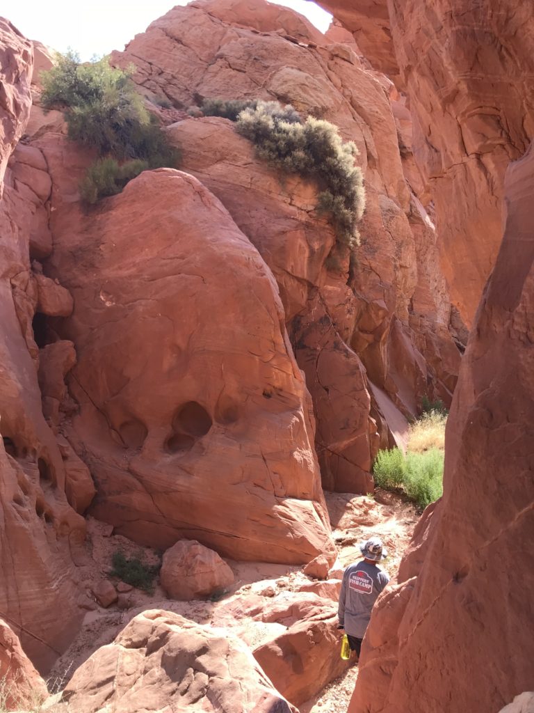
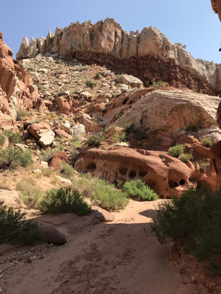
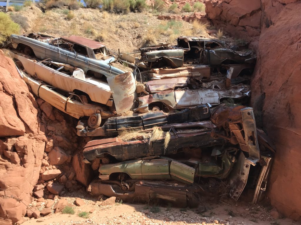
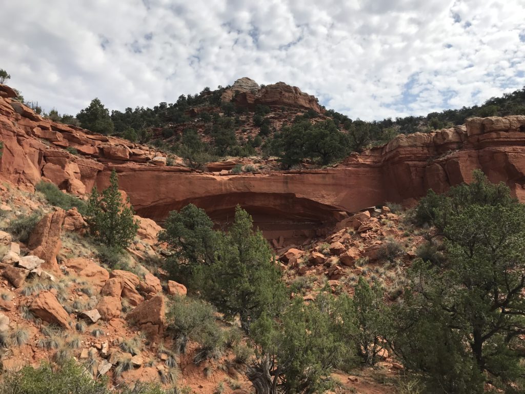
Catstair Canyon is not remote. It runs along US 89 so there is plenty of highway noise. The dominant feature of the west end of the canyon is the riprap pile of old cars that abut the highway. Catstair is a slot canyon, but most of it is shallow and open. The walk through the canyon was easy and fun until we came to the dryfall. Tom thought he could climb down and tried to find a way through. But it wasn’t something I could do without a rope, so he came back and we turned around.
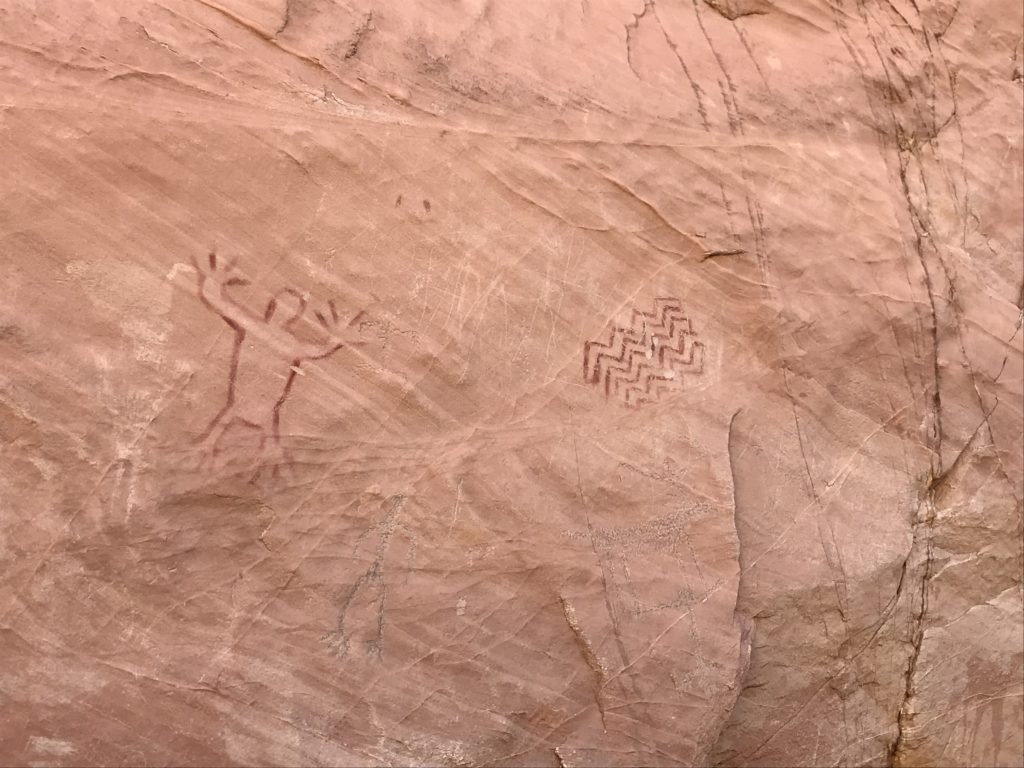
The eastern part of the canyon is deeper and has petroglyphs at the entrance. It also has several side slot canyons that are fun to explore. Even though both parts of the canyon were out and back trails, we enjoyed it exploring along the rocky floor of the canyon.
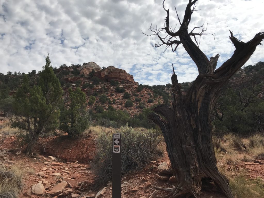
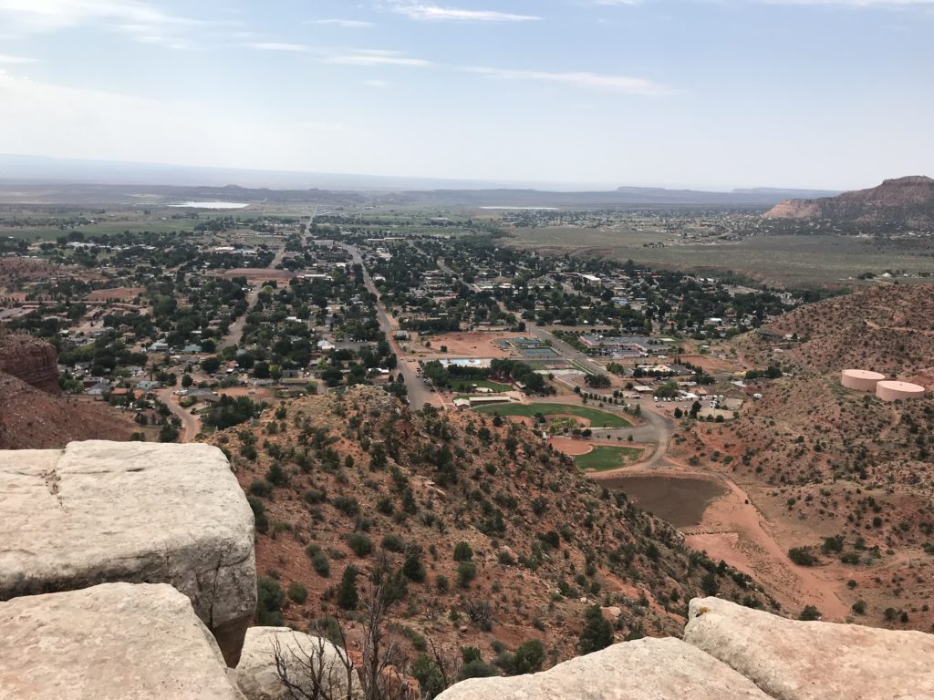
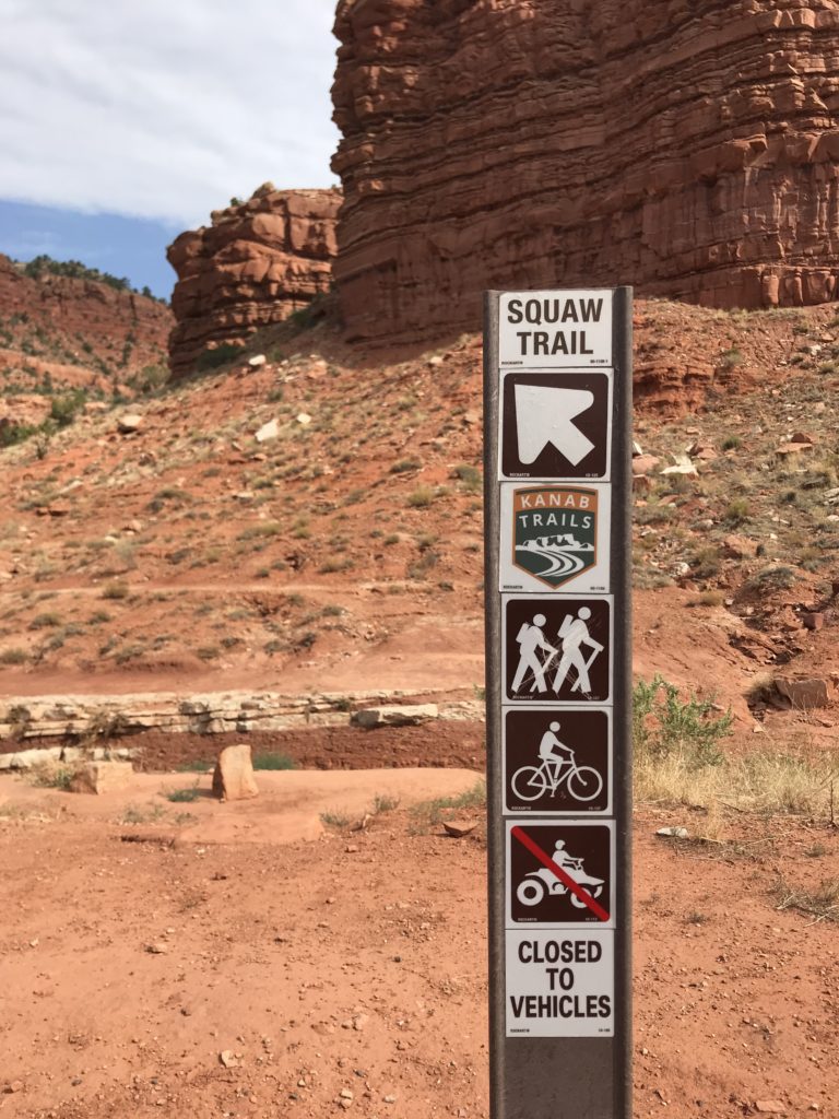
Another day we decided to hike Squaw Trail in Kanab. This is a beautiful hike with an unfortunate name. The trail climbs up the Vermilion cliff on the north side of Kanab. The trailhead begins at Jacob Hamlin Park in Kanab. The trail is 1.4 miles long and climbs 1,000 feet in elevation to to the top. I can do that kind of elevation change if Tom will let me stop to huff and puff frequently. As we climbed the trail we had great views of the town of Kanab and the valley below it.
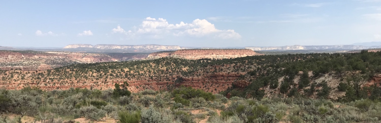
The payoff for Squaw Trail is at the very top. Once you get to the top of Squaw Trail you can see all of Kanab and the valley on one side and Zion National Park with its valley on the other side. Awesome! We stayed on the top for quite a while admiring the view and letting my legs recover for the downward journey.
Both of these trails were beautiful and fun. Both of them were about 3 miles total, which is just the right distance for a morning hike.