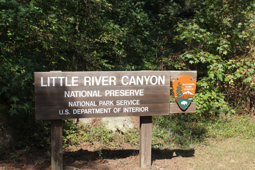
Little River Gorge is the “Grand Canyon of Alabama” and Tom and I visited it on a gorgeous late summer day. Even though Little River Canyon is in Alabama, it is just over the state line from Georgia and only an hour and a half from Chattanooga. To get there you take I-59 to exit 218, then follow GA 35 east to the Little River Canyon National Preserve.
There is a very nice Visitor’s Center on AL 35 before you cross the Little River but it is not your usual national park visitor center. It is a collaboration with Little River Canyon National Preserve and Jacksonville State University, so it is primarily an educational center. The Visitor Center is used to teach students of all ages about the flora and fauna of the National Preserve. We were there on a day when there weren’t any classes and they were pretty casual about opening the center.
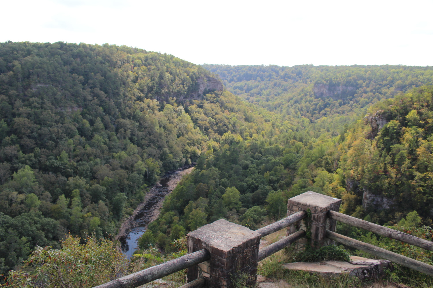
The eleven mile Scenic Drive along AL 176 is the most popular activity in the park. There are eight overlooks that give spectacular views of the canyon. Little River is one of the longest rivers in North America to begin and end on a mountain. It starts on Lookout Mountain at 1,900 feet elevation and plunges to 650 feet at Weiss Lake. It became a National Preserve in 1992.
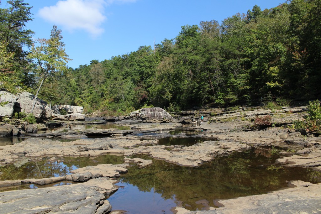
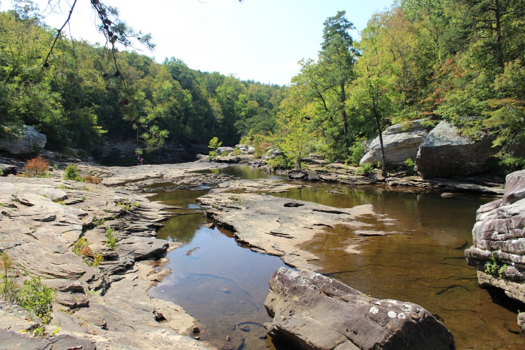
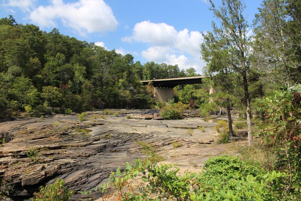
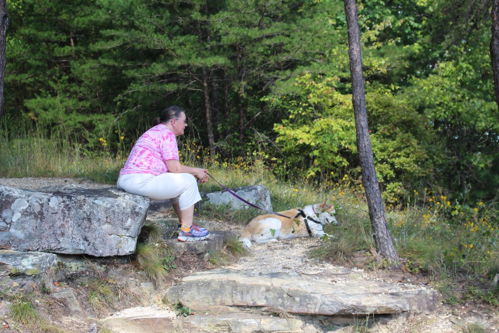
We took a hike into the canyon along the Martha Falls Trail. There is a hiking trails map – you can download it or get it at the visitor center – but the trail itself was not marked beyond a small sign at the trailhead. It was easy enough to follow until we got to the rockfall that went down to the river. There did not appear to be another way down, so we climbed and scrambled over the rocks.
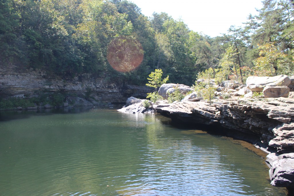
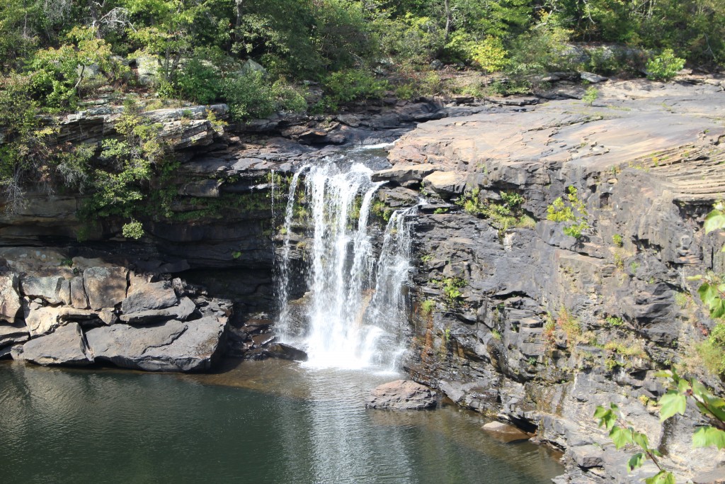
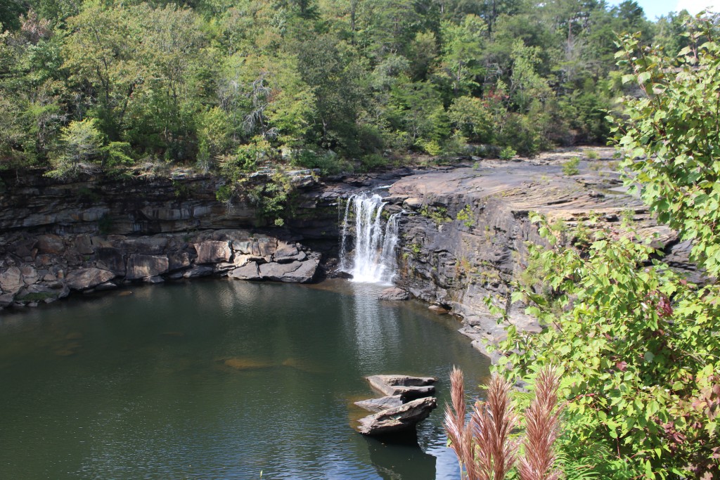
The water level was very low when we got to Little River, but we could climb on the rocks and had a great view both up and down the canyon. The Martha Falls area is a popular swimming hole in the summer. Although the river was very narrow in spots, it also broadened out into deep pools of extremely clear water with a limestone base.
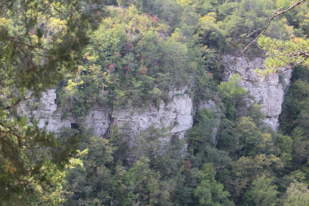
Soon after Martha Falls, Little River cuts down into the sandstone so that you can’t really walk along the river: the cliffs are too steep. There aren’t any trails that follow along the canyon floor, so you can hike to the river and climb back out.
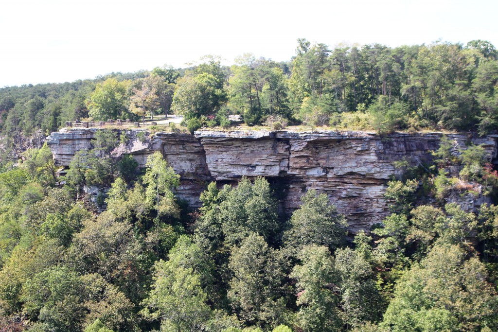
Our favorite overlook was Eberhart Point because we could see two directions up and down Little River Canyon and could also see up the Bear Creek Gorge. The views would be even more fantastic with fall color or after the leaves have fallen. This overlook allowed us to see the full height of the cliffs – up to 600 feet in parts of the canyon.
If you want to see the Grand Canyon of Alabama and spend some time in Little River Canyon, you can camp or rent cabins at DeSoto State Park at the northern end of the Preserve. There is also a lodge, restaurant, and a pool.
Little River Canyon, the Grand Canyon of Alabama, makes our 10th “Grand Canyon” this year! Only 40 to go!