The National Park Service administers thirty National Trails – and yes, there are stamps for all of them! The Lewis and Clark Trail is all over southern Washington. Tom and I often encountered historic markers as we drove through Washington State around the Columbia River. There seemed to be a historical marker pretty much everyplace the Corps of Discovery stopped for the night.
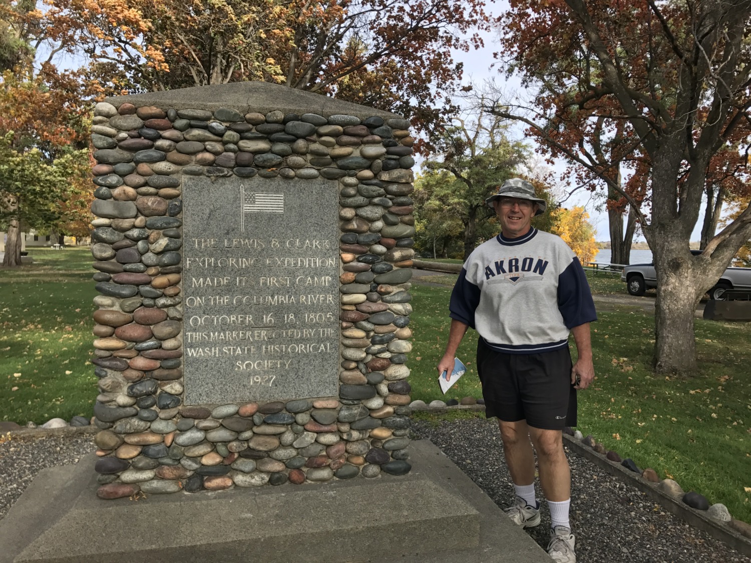
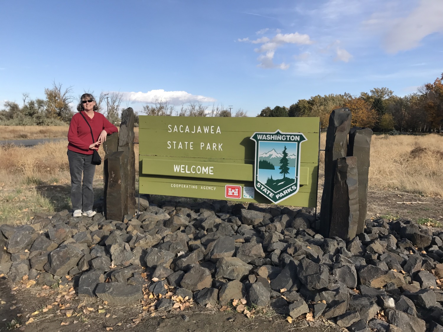
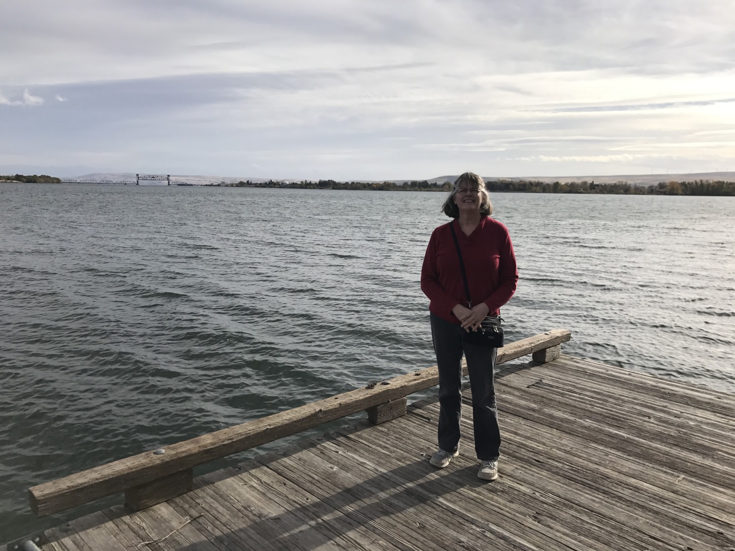
Sacajawea State Park marks one section of the trail. Located at the confluence of the Snake and Columbia Rivers, the park tells the story of the Corps of Discovery in Washington State. It is one of the places Lewis and Clark camped along the Columbia River. They stayed there for three nights, October 16, 17 and 18, 1805. On the weekend closest to this date, the park has a big historic encampment. Unfortunately Tom and I visited about a week after the encampment but we still enjoyed the museum and walking along the river. My favorite part of the museum was the wall where they listed the 17 different spellings of Sacajawea’s name used by Meriwether Lewis in his journals.
 I’ve already written about Fort Clatsop, where the Corps of Discovery spent the winter after journeying to the coast. As Tom and I drove in southern Washington, we stopped for several of the National Historic Markers along the Lewis and Clark Trail. Near Walla Walla, the Corps of Discovery used a shortcut when they were returning home from the Walla Walla river to a Nez Perce village on the Snake River.
“The Indians informed us that there was a good road which passed from the Columbia to the entrance of the Kooskooske on the south side of Lewis’s river. They also informed us that there were a plenty of deer and antelopes on the road, with good water and grass. We knew that a road in that direction if the country would permit would shorten our route at least 80 miles.” Meriwether Lewis, April 27, 1806.
Tom and I stopped at the Lewis and Clark Trail Travois Road. We could still see the ruts in the ground made by the travois used by the Indians and fur traders. We saw the sign for the Windust Caves which Lewis wrote about in his journal. We also drove through the Weippe Prairie which was a welcome sight to Lewis and Clark after their difficult traverse of the Bitterroot Mountains in 1805. There are reminders of Lewis and Clark Trail everywhere, including in the names of places. Two cities across from each other on the Snake River are called Clarkston and Lewiston.
The Lewis and Clark Trail got a lot of attention in 2005 and 2006, when the sites along the trail celebrated the 200th anniversary of the journey. It is still fun to travel along the Lewis and Clark Trail today, especially if you can do it in a car instead of on foot. You can read more about the Lewis and Clark Trail in Washington by clicking here.