
Cumberland Gap National Historical Park has 85 miles of trails. This makes it the park with the most trails of any that we have worked at except for Death Valley. Over our four months at Cumberland Gap, Tom and I have hiked on most of the trails. In fact, the only one we haven’t been on at all is the Chadwell Gap Trail, the steepest trail in the park.
Because we need to be familiar with all 85 miles of trails, Tom and I took a day to check out the trailheads of all the major trails. Cumberland Gap National Historical Park is 26 miles long, but only a few miles wide most places. Long and skinny. The park is set on Cumberland Mountain, which means that all the trails are up or down.
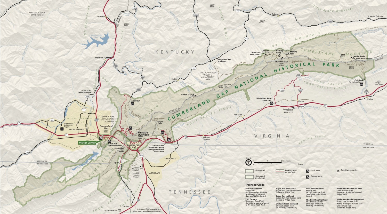
Sugar Run is on the north side of the park. It gets more rain than the other side of the mountain, so there are a lot of ferns and mountain laurel. If you want to get up to the Ridge Trail, Sugar Run is the least steep path.
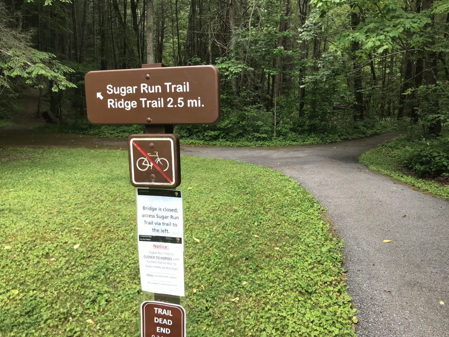
Trailheads that run along the south side of the mountain include Lewis Hollow Trail, Chadwell Gap, and Ewing Trail to the White Rocks. All of these join with the Ridge Trial and all of them are steep and strenuous. People who want to hike the Ridge Trail usually get a backcountry permit so they can camp on top of the mountain. We sometimes get people who think that, once they get to the Ridge Trail, the trail will be flat. In addition to the steepness getting up to the top of the mountain, the Ridge Trail goes up and down on its own. If you hiked the entire Ridge Trail, you would hike 21 miles.
The 85 miles of trails in Cumberland Gap include some easier hikes as well. There are several miles of trails connected to the campground, including the Greenleaf Nature Trail, the Honey Tree Trail, and the Colson Trail. Tom and I have hiked all of these several times.
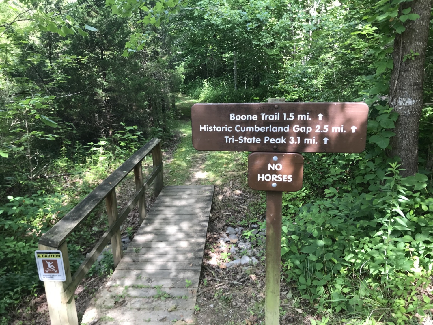
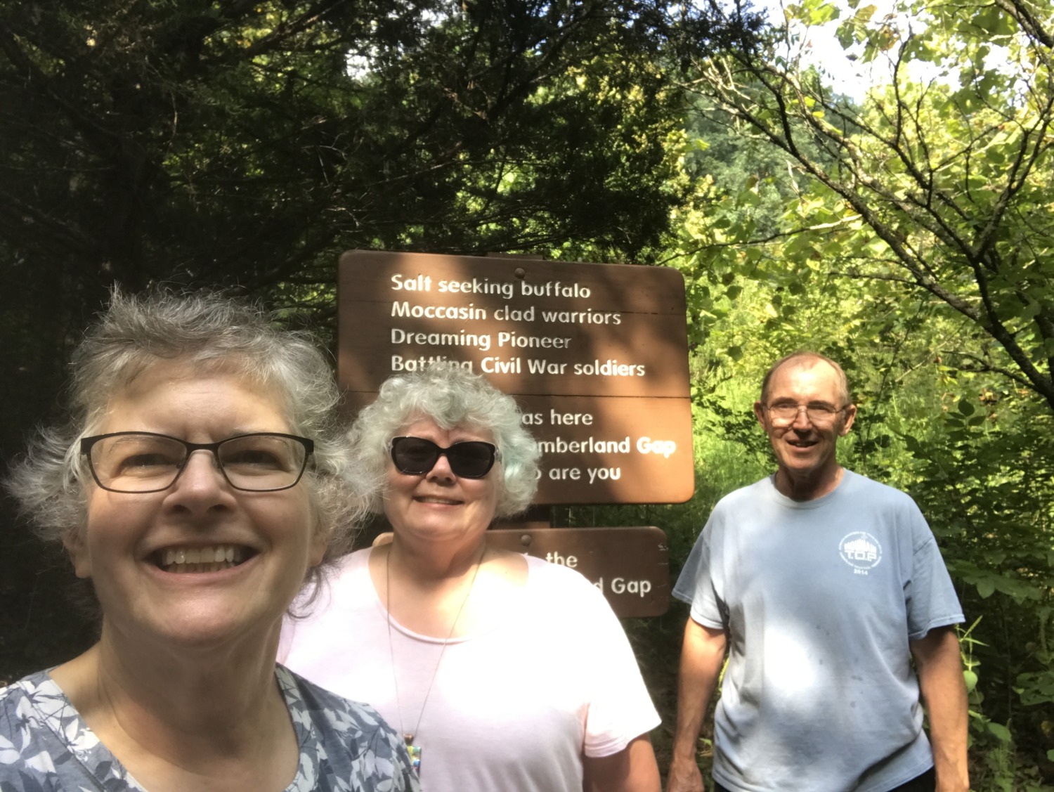
The trail we hike most often, however, is the Object Lesson Road Trail to the Wilderness Road Trail to Tri-State Peak. This is the #1 hike in the park and the one we recommend to everyone who wants to take a shorter, less-strenuous hike in the park. It is only 1.2 miles from the trailhead to Tri-State Peak. On the way, you pass the historic Cumberland Gap. Tom and I take all our visitors to the Cumberland Gap. How can you say you have visited the park if you haven’t walked the saddle of the Gap?
The Boy Scouts in the area developed the Mischa Mokwe Trail, which is really three park trails put together. Scout groups hike up the Gibson Gap Trail, follow the Ridge Trail, and then take the Ewing Trail back down the mountain. The trail is 26 miles in length, so it requires a couple of nights in the backcountry. Boy Scouts who do the Mischa Mokwe Trail can get a badge, and we know Boy Scouts will do anything for a badge!
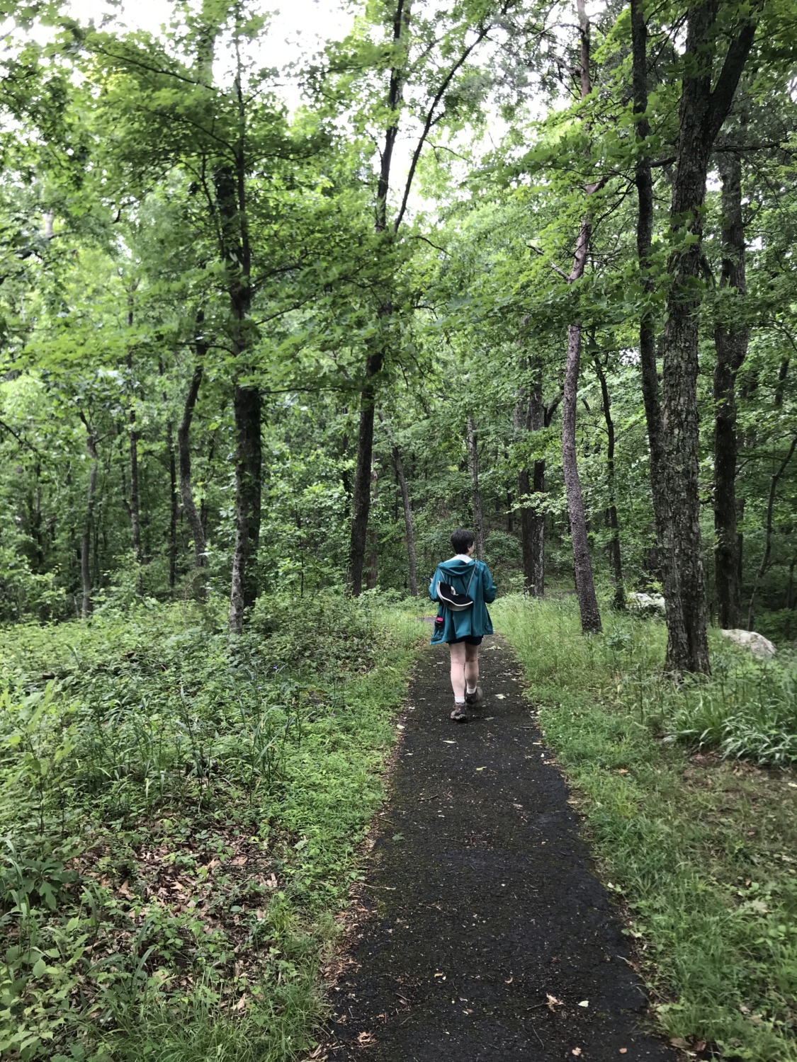
All 85 miles of trails at Cumberland Gap National Historical Park are beautiful. Trail crews are out in the park all summer long clearing and improving the trails. The signage is great and the trails are easy to follow. The Ridge Trail is best in late fall or early spring, when the trees are bare. It opens up some spectacular views.
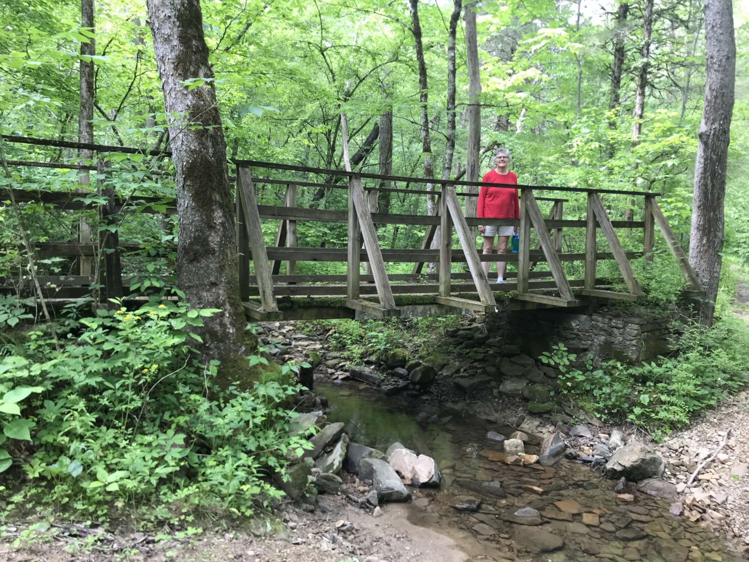
Tom and I have enjoyed exploring the park on many of these trails. Because there is such a variety of trails, there is something for everyone to enjoy.