After Tom and I left Rapid City, we headed southeast to the Missouri National Recreational River. We thought it was a little odd that we had to drive 650 miles to the Missouri National Recreational River Headquarters when we had spent the summer on the Missouri River. The Missouri River is 2,300 miles long but only 100 miles of it is part of the designated Missouri National Recreational River.
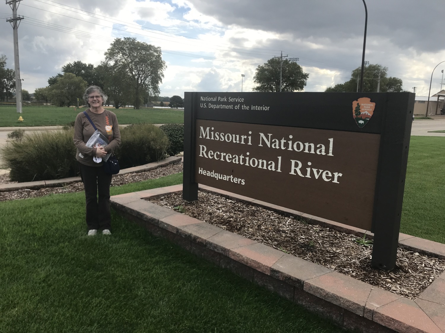
The stamp for the Missouri National Recreational River is at the Headquarters Building in Yankton, South Dakota. Tom and I headed there to get my stamp and arrived about an hour before closing. The lobby of the Headquarters building also serves as Visitors Center and a display area. Because the headquarters is only open weekdays from 9 to 5, the stamp is located outside where people can access it anytime.
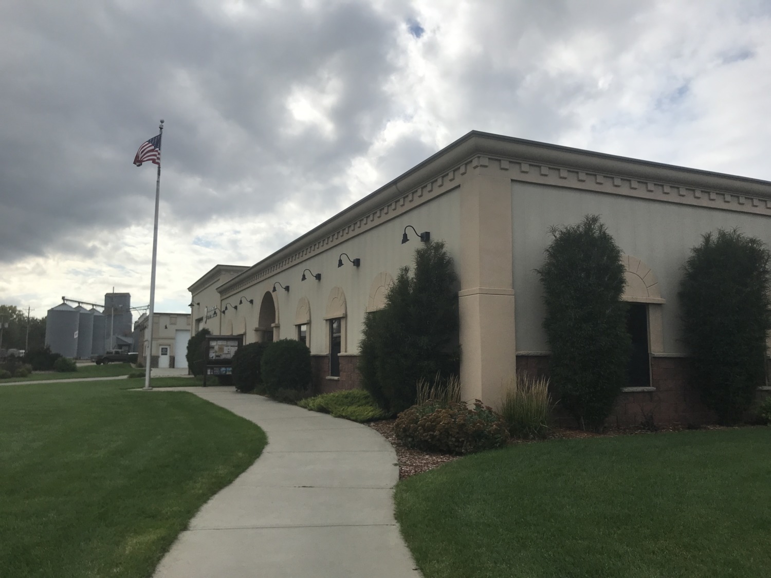
I talked to a ranger inside the building for a little while because I kept reading that the Missouri National Recreational River was “the river as it was meant to be, free-flowing and wild.” I thought this was a curious statement when there are dams all along the river, which obviously means it is neither free-flowing or wild. Dams change a river, causing the river to slow, blocking migration, collecting sediment, and depleting oxygen levels. So the river that comes out of a dam is nothing like the river than would have been there if a dam had not been built. I tried to have a conversation with the ranger about it, but the ranger couldn’t answer any of my questions. He finally told me this was his first week at Missouri National Recreational River.
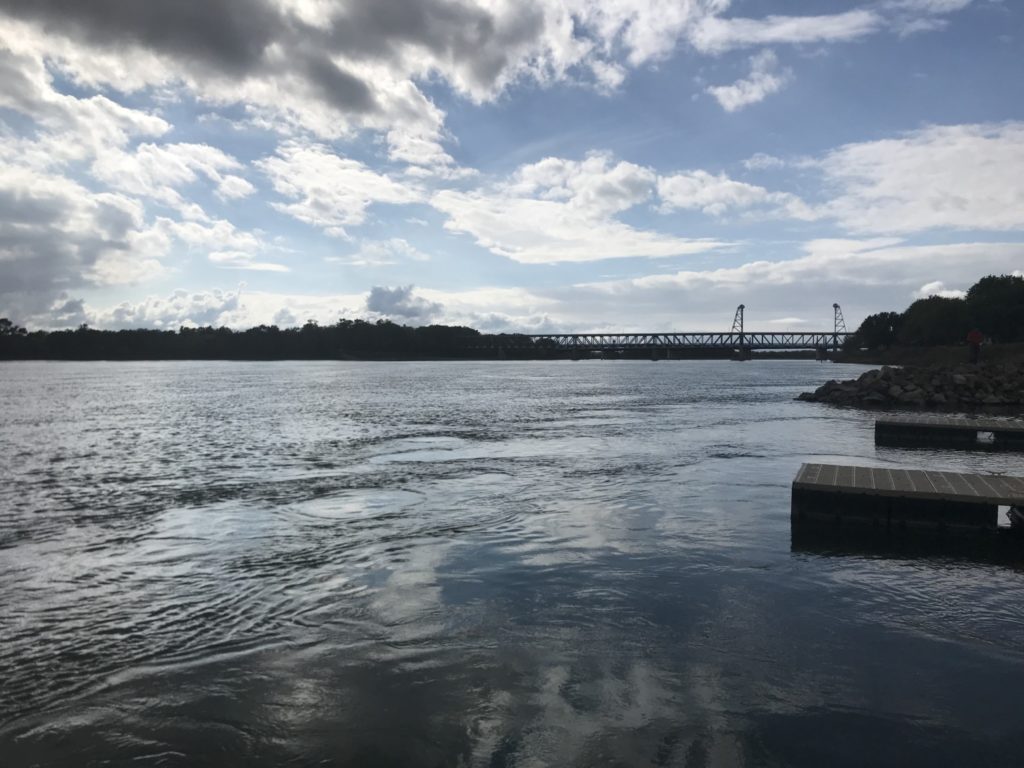
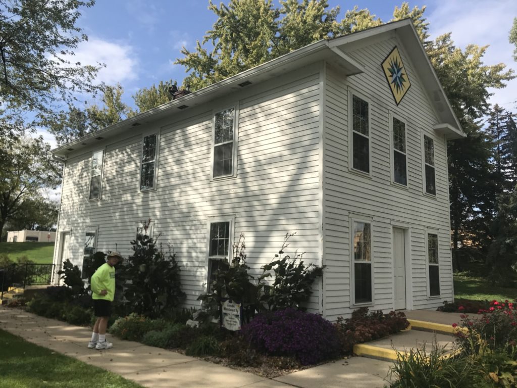
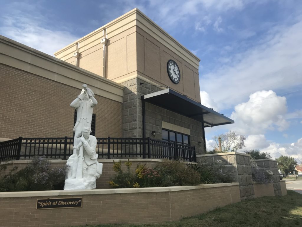
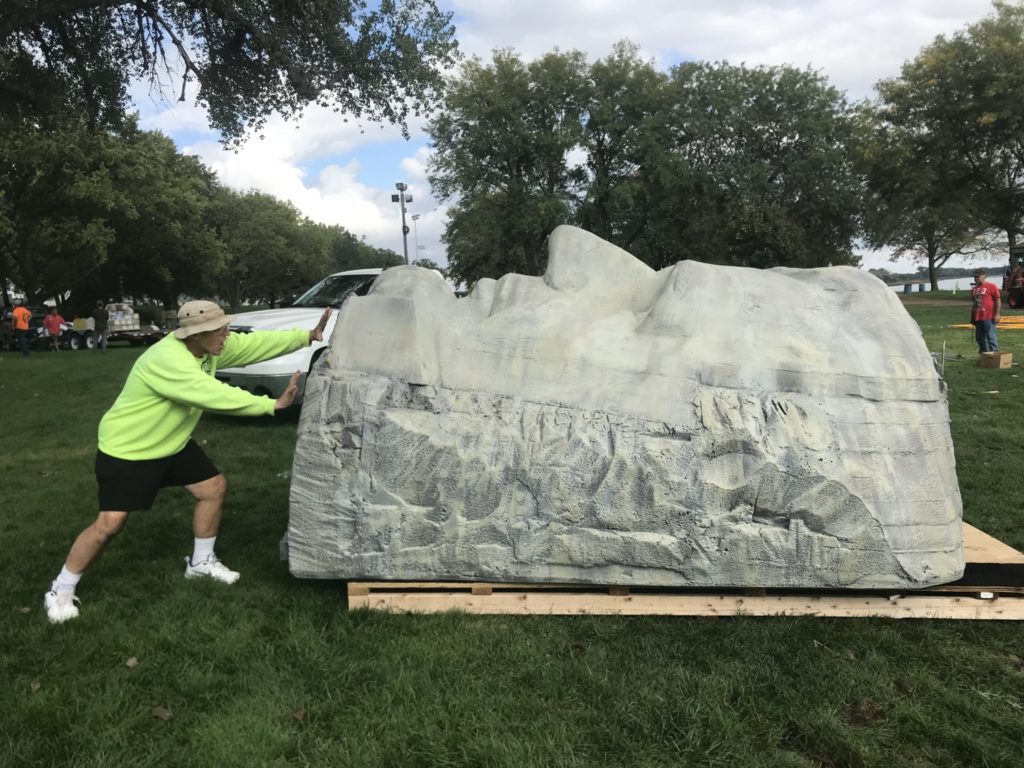
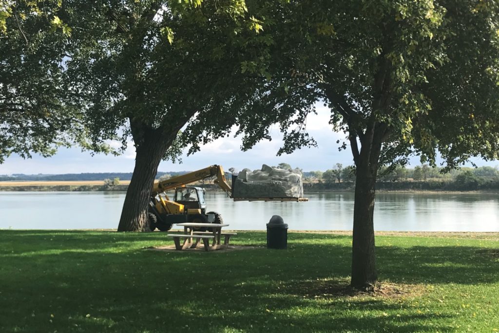
After my unsatisfying visit to headquarters, Tom and I walked along the beautiful Riverside Park in Yankton. They were just cleaning up from some kind of a festival, and we saw foam reproductions of the heads from Mt. Rushmore. The workers were loading them onto a semi truck. We saw a Lewis and Clark statue and several wonderful fishing docks. Yankton was the capital of the Dakota Territory and we saw a reproduction of the territorial capital building.
The Missouri National Recreational River is divided into two sections. There is a 59 mile district that begins at the Gavins Point Dam, built in the 1950’s. This section of the “free-flowing, wild” river has a meandering channel with shifting sandbars. It contains some of the last forested floodplain wetland habitat on the river. Chalkstone bluffs line the Nebraska side of the river, while the South Dakota side is mostly flat with sandy beaches.
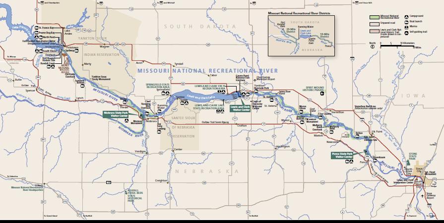
The other section of the Missouri National Recreational River is a 39 mile district north of Lewis and Clark Lake, formed by the Gavins Point Dam. The lake is a state recreation area visited by 1.5 million people a year. The 39 mile district is influenced by controlled releases from Fort Randall Dam, but the park service still says it is in a free-flowing condition. The river meanders through a valley that is one to two miles wide. The lake begins where the Niobrara River joins the Missouri.
There are additional Visitors Centers for the Missouri National Recreational River, but they are only open from Memorial Day through Labor Day. Lewis and Clark Visitor Center is located at Gavins Point Dam. It has information, exhibits, a theater, and a bookstore. Niobrara and Ponca State Parks have visitor centers, camping, rental cabins, swimming and fishing.
Restaurants, hotels, campgrounds, and resorts are scattered all over the area, making it an easy place to visit and enjoy. During the summer there would be plenty of things to do. Tom and I stayed at the Yankton KOA.
Although I am pleased to get my stamp, I was disappointed by the way the National Park Service was interpreting the river. It is nice to have recreation areas, but you should not say they are free-flowing and wild. A dammed river has been tamed. There is plenty of interpretation that can be done around that issue. What environmental price are we willing to pay for recreation?

