
On our way back to Fort Union Trading Post from Billings, Tom and I stopped at Bighorn Canyon National Recreation Area. We wanted to check it out and, of course, get the stamp in my National Park Passport book.
Tom and I are not big fans of dams. We like wild rivers that run free and think that people should adjust their behaviors instead of trying to adjust the rivers’ behavior. Most dams were built between 1920 and 1970, before we started considering the ecological damage that dams can do. Also, a high percentage of dams were built on Native American lands without properly consulting or compensating the tribes. The water or electricity from the dams is not for their benefit, but for the benefit of people in cities far away.
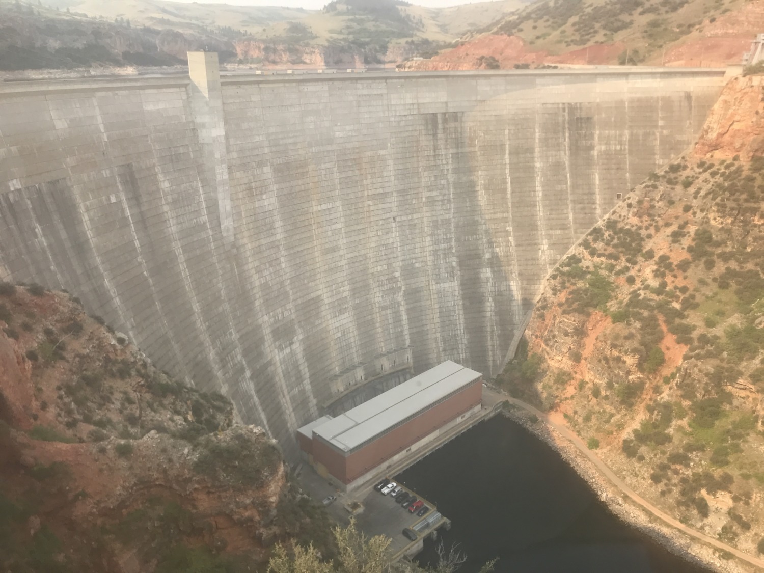
The Yellowtail Dam is an excellent example of all the things wrong with dams. The Bighorn River is located primarily in the Crow Indian Reservation. When the government started its negotiations with the tribe in the late 1940’s, the tribe believed that it would get the income from electricity generated and be allowed significant water from the reservoir for tribal use. With this understanding, they agreed to sell 12,000 acres of land for the dam and reservoir to the government. The dam was, ironically, named for Robert Yellowtail, a Crow tribal member who was the strongest opponent to the dam and selling the land.
Construction began on the dam in 1961 and the dam was completed in 1967. The Yellowtail Dam is a concrete thin-arch dam 525 feet high and 1,480 feet long. The hydroelectric plant can generate 250 MW of electricity. From 1967 until 2010, the Crow nation did not receive water from the dam. Most of the water designated for agricultural irrigation was given to white farmers and ranchers who had bought land nearby. Starting in 2010, after decades of legal battles, the nation was allowed an annual allotment of water and the revenue from the Yellowtail Afterbay Dam.
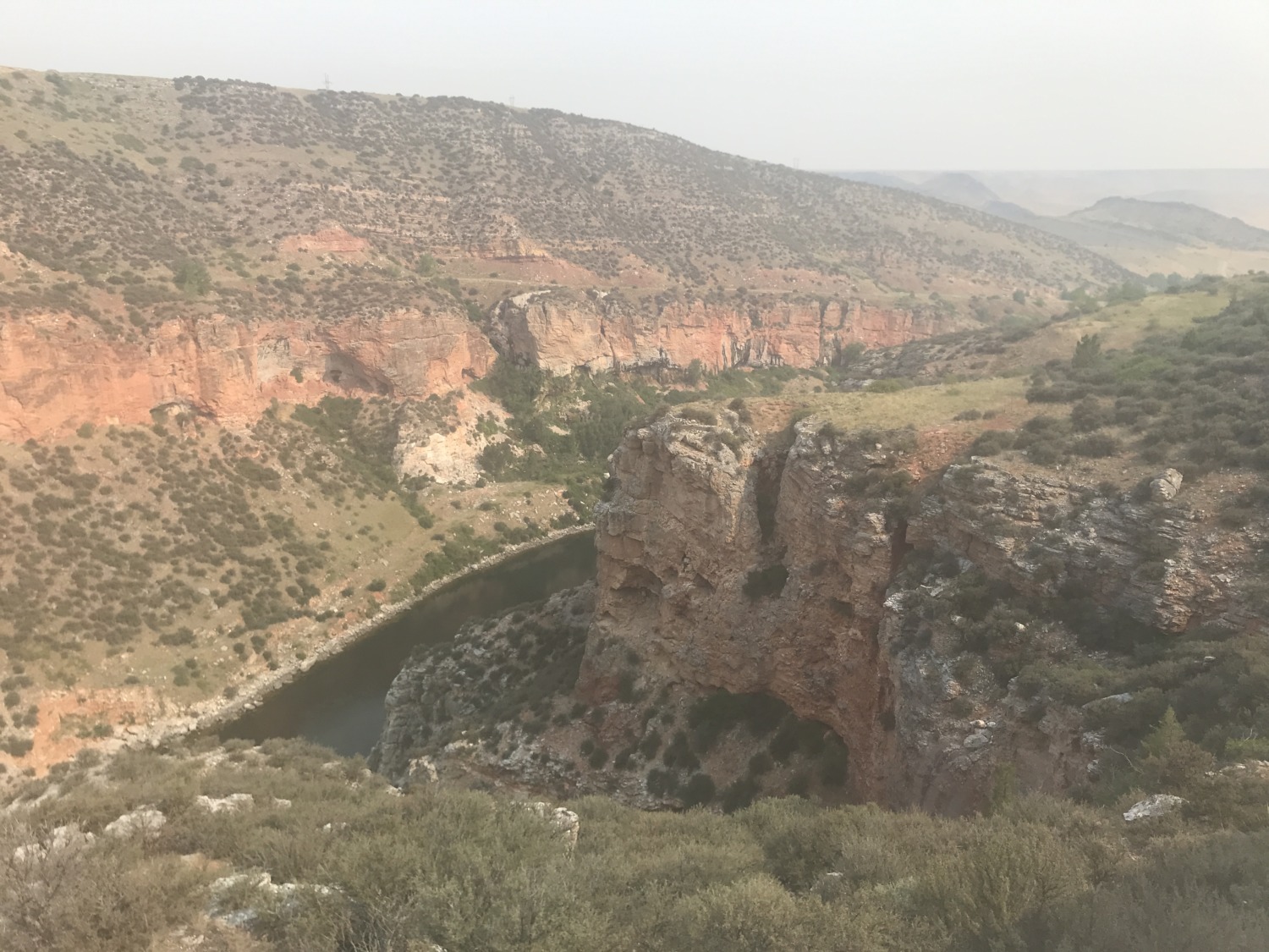
Bighorn Canyon National Recreation Area covers Bighorn Lake, the dams, and the Bighorn River below the dam. With the release of cold water from the bottom of the dam, the Bighorn River developed a huge trout fishing industry. But, as with all western reservoirs, lake levels have been dropping because of the extended drought. People who love the lake for its recreation and tourism want the dam management to release less water. People who love the river for its fishing want the dam management to release more water. No one is happy with the current compromises.
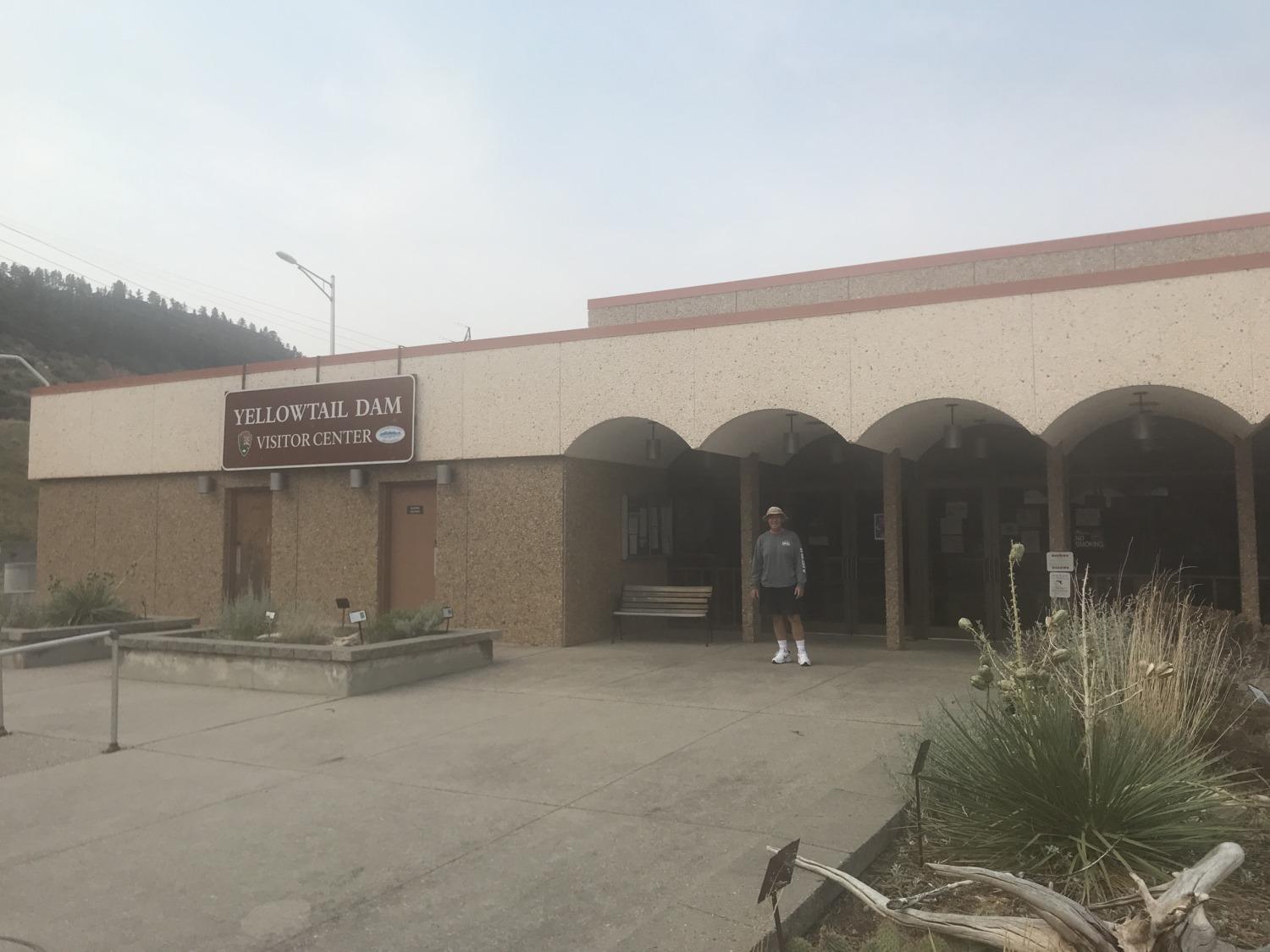
Bighorn Canyon National Recreation Area is divided into two distinct districts that are not connected to one another. The Lowell, Wyoming, district is the most popular and is open year round. The Taggart Visitor Center is open year round but closed on Sundays and Mondays. There are five places to put in boats along the stretch of Bighorn Lake. The Yellowtail District, with the dam and the river below it, is less visited. The Visitor Center at the dam is only open Memorial Day through Labor Day.
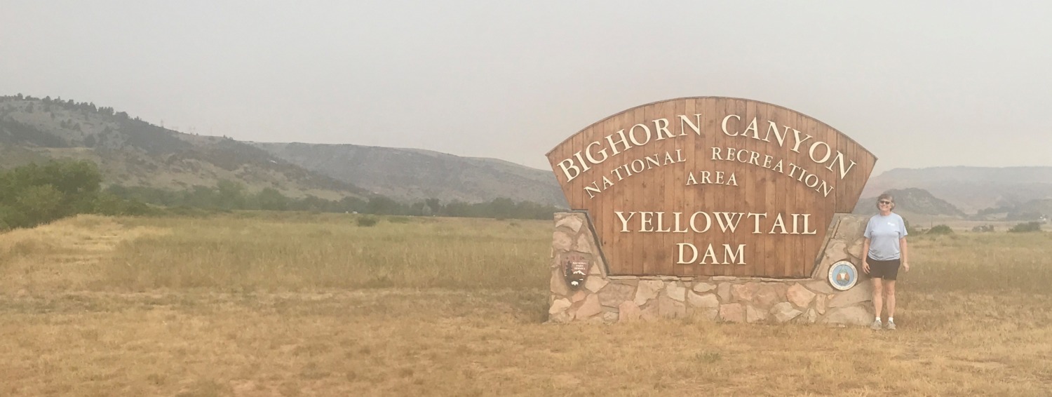
Tom and I visited the Yellowtail District. It took us about an hour to drive from Hardin, Montana, on I-90, to the Yellowtail Dam Visitors Center. Once there, we were the only visitors. We talked to the two rangers at the Visitors Center for a while. The Visitors Center is owned, as is the dam, by the Bureau of Reclamation but is run by the National Park Service. We noticed the displays were old and many were broken. When we asked the rangers about it, they said that it was the Bureau of Reclamation’s job to fix things but that the Bureau wasn’t really interested in the Visitors Center. Sad.
We spent some time looking at the dam from different angles. The valley above and below the dam was impressive and beautiful. I’m sure it was spectacular before the dam was built. Although there are 17 miles of hiking trails in Bighorn Canyon National Recreation Area, all of them are in the Lowell District. Unfortunately, due to the western wildfires, there was also a lot of smoke in the air. Everything was very hazy. I think some of the pictures might also be hazy because my phone camera lens was a little dirty. I accomplished my goal of getting the stamp for my NPS Passport book.
We were hoping to get lunch at a restaurant in Fort Smith, the small town adjacent to the dam. Fort Smith only had a convenience store. The rangers told us the closest restaurants and grocery store were in Hardin. With that in mind, we headed north again. We appreciated what we had learned but did not feel that we would benefit from a longer visit.