
Our primary reason to visit the Upper Peninsula was to go to Pictured Rocks National Lakeshore. We stayed at Muskallonge Lake State Park because it was on the eastern end of Pictured Rocks. The day after we arrived at Muskallonge Lake, Tom, Sandy and I were eager to get out to see Pictured Rocks. Eric and Bob were tired from all the exploration we had been doing so they elected to stay at the campsite and have a quiet day.

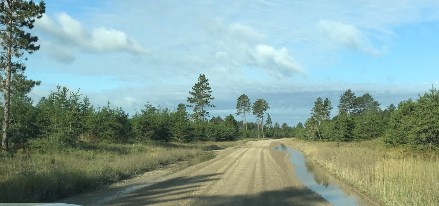
There are two ways into Pictured Rocks National Lakeshore from Muskallonge. You can take Deer Park Road into Grand Marais and then into the park for a total of 21 miles. Or you can head back down to Newberry, go across M-28, and back up M-77. This is a total of 70 miles. Why would you go that way instead of Deer Park Road? Because Deer Park Road turns into a rough dirt road just past Muskallonge Lake State Park.
Which way did we go? Need you ask? We chose the shorter, dirt road. Of course, we had the advantage of the Shaw’s high clearance, 4-wheel-drive truck. The narrow dirt road was an adventure, especially when another car was coming. But Tom kept his speed up and the road was also very scenic. We were surprised at the number of summer cottages we saw along the way. Although Deer Park Road is graded in the summer, it is not maintained at all in the winter.
Grand Marais, Michigan, is a tiny town with 234 full-time residents. It is the eastern gateway to Pictured Rocks National Lakeshore, so it stays alive mainly by catering to tourists. There are a few restaurants, a small grocery store, and several B&Bs.
Inside Pictured Rocks National Lakeshore we headed first to the Grand Sable Visitors Center. We were a little disappointed by this one-room visitors center. The volunteers who were running it knew the answers to our questions, but there wasn’t a museum or a movie and the gift shop was tiny. I was able, however, to get my stamp which is always the most important thing. The Grand Sable Visitors Center is open seasonally as staffing permits. It was especially disappointing because the Munising Visitors Center was closed when it slid off its foundation. It is currently being rebuilt.
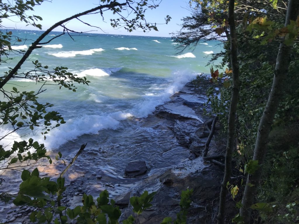
The best way to see Pictured Rocks National Lakeshore is from the water. We had booked a cruise with Pictured Rocks Cruises that would have taken us to see the highlights before we left Ohio. Unfortunately, due to high winds and gale warnings, the cruise was canceled on both of the days we could have gone. This was the most disappointing part of our vacation. You can only see most of the rock formations and the amazing colors of the cliffs from the water. Consequently, we missed the most distinctive part of Pictured Rocks.
We appreciated the concessionaire’s concern for safety, however, and we found plenty of other things to do in Pictured Rocks National Lakeshore. There are more than 100 miles of hiking trails in Pictured Rocks with topography that ranges from rocky cliffs to sandy beaches to tall sand dunes. The center of the park is the 12,000 acre Beaver Basin Wilderness which doesn’t allow any motorized vehicles.
Pictured Rocks National Lakeshore hugs the Lake Superior coast for 40 miles between Grand Marais and Munising. The only road through the entire park is H58 which runs primarily through the buffer zone between the public lands and the private lands along M-28.
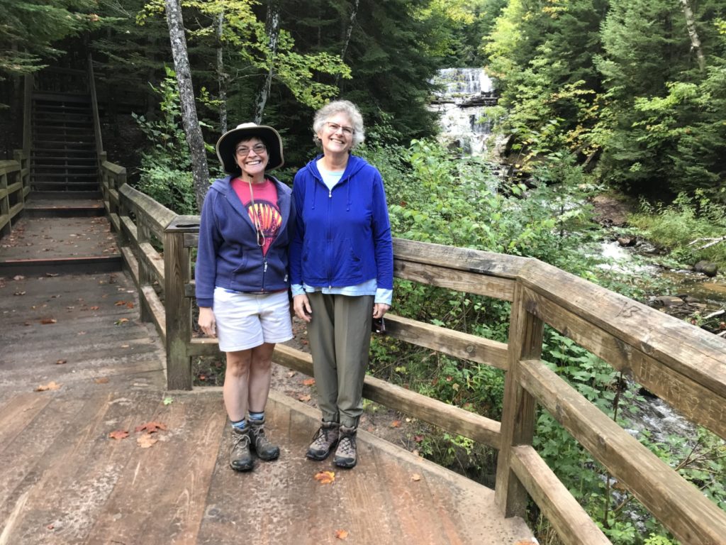
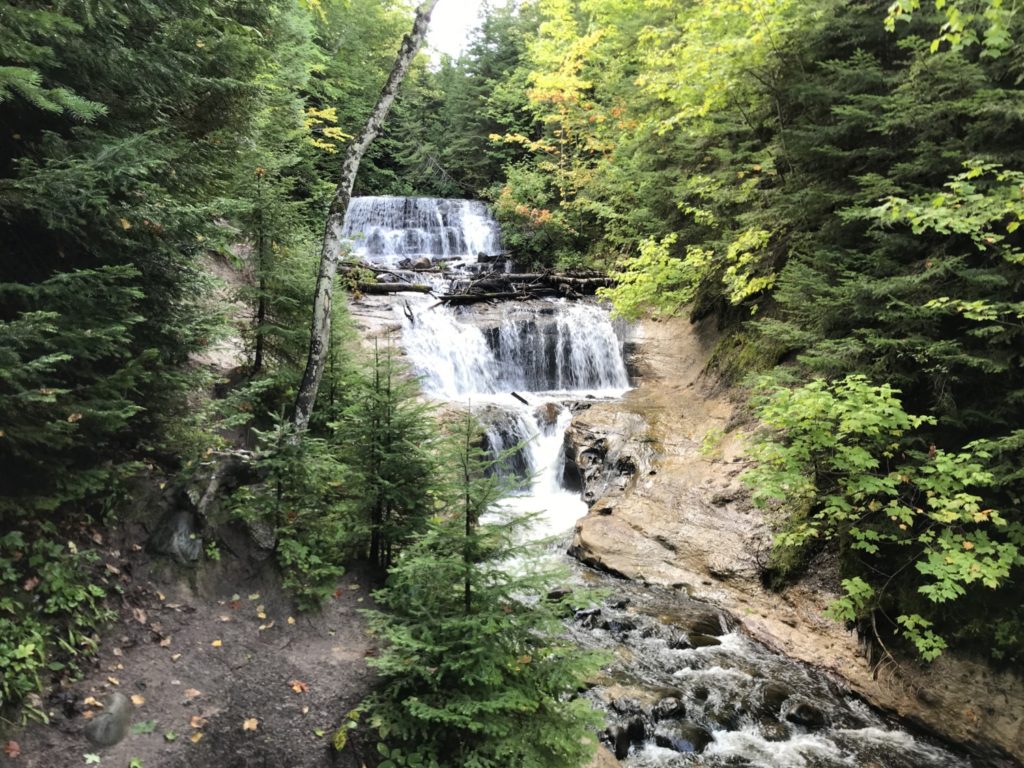
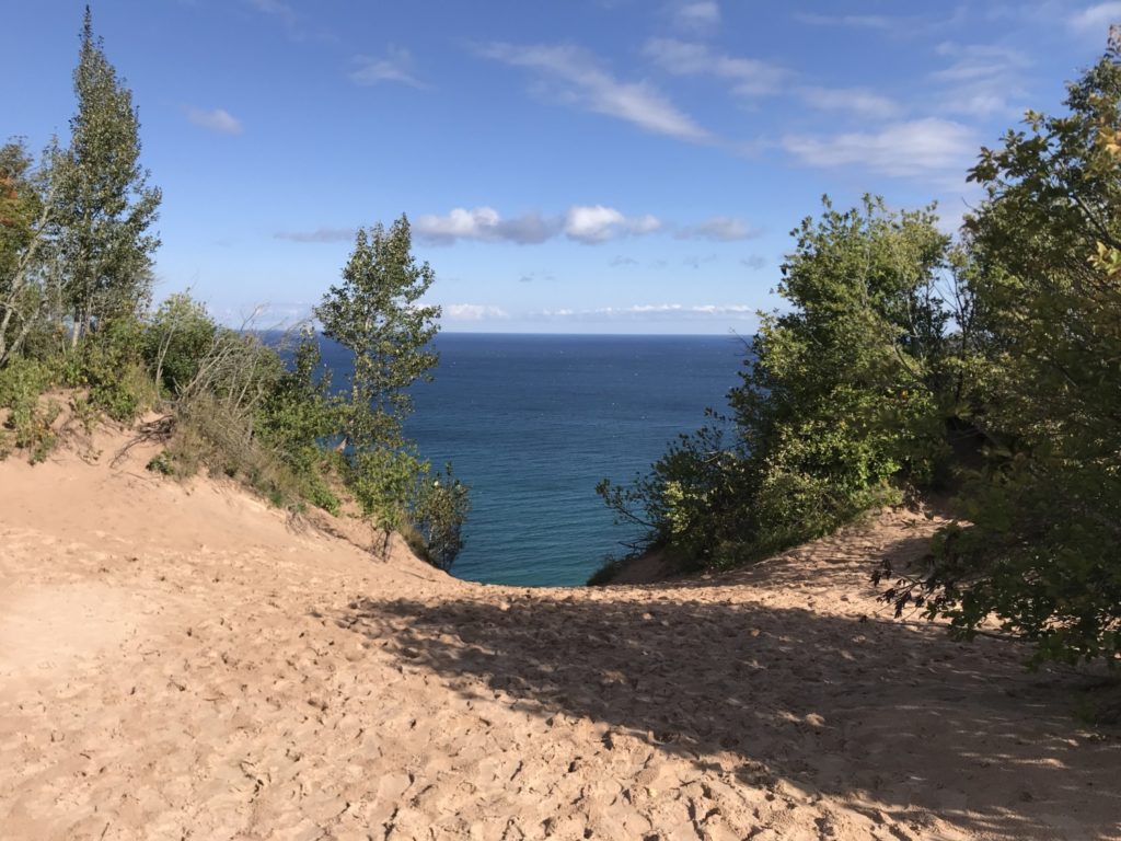
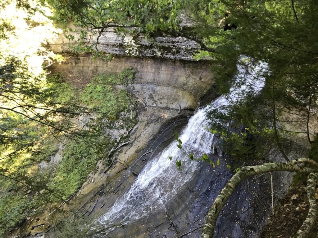
After our stop at the Grand Sable Visitors Center, we headed out to explore and hike. Our first stop was Sable Falls and Grand Sable Dunes. Sable Falls is a beautiful, tiered waterfall. The trail had 168 steps down to the bottom of the falls and then continues through a pine forest. Gradually the trail opens to the dunes and a beach at the bottom of the dunes.
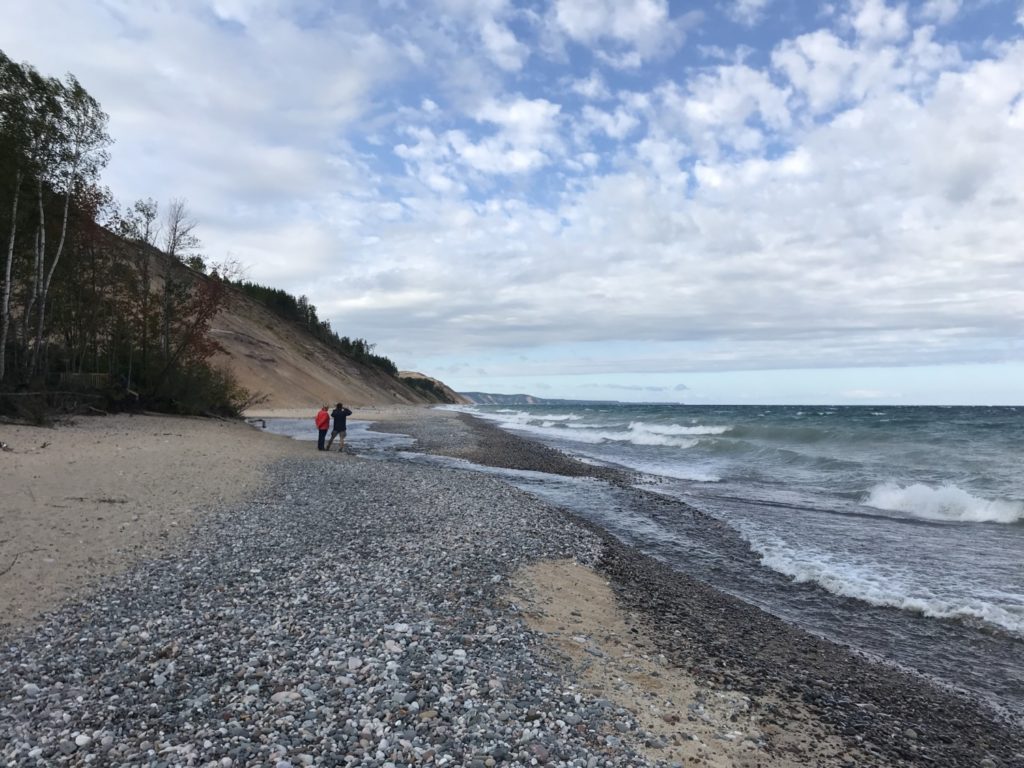
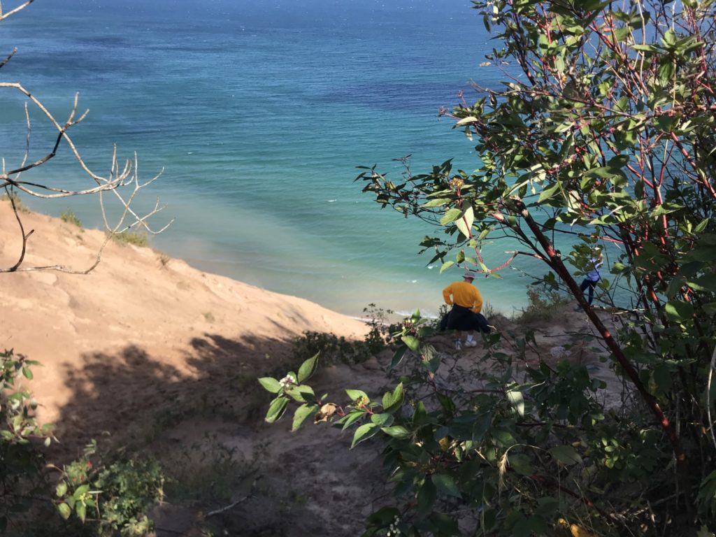
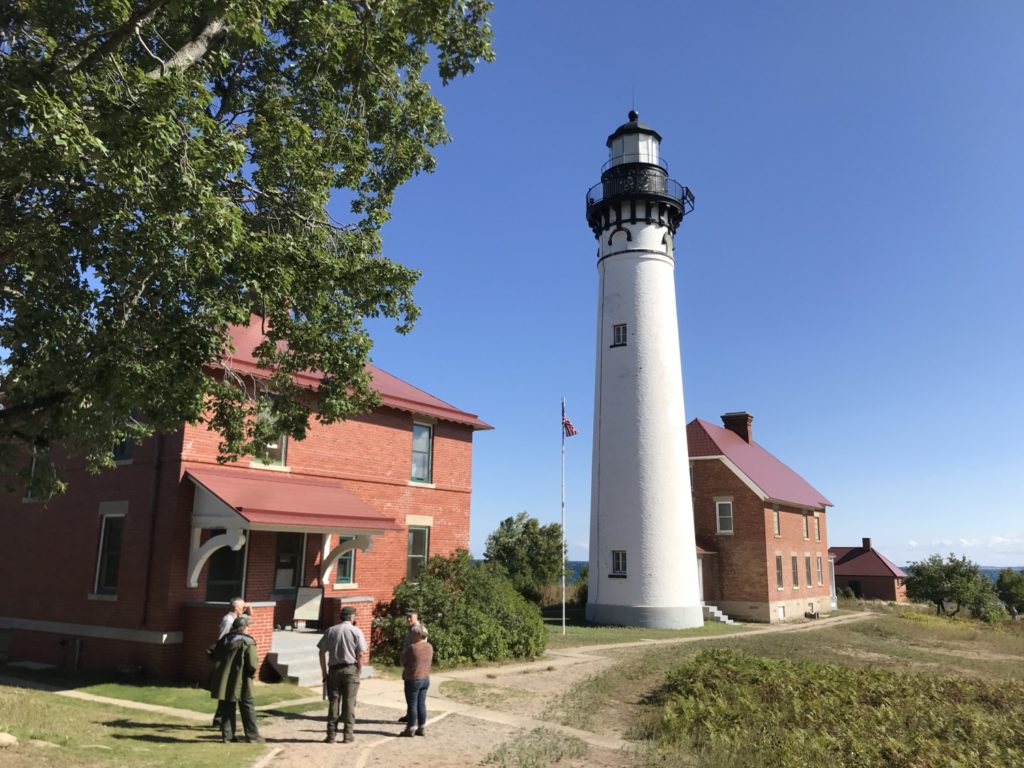
After enjoying the waterfall, we took the short hike to the Log Slide Overlook. The Log Slide was the place where loggers let the harvested pine trees slide down the sand into Lake Superior. It is a very steep slide and we were not at all tempted to slide down it ourselves. From the viewpoint on the top of the slide, however, we could see the Au Sable Light Station almost a mile away.
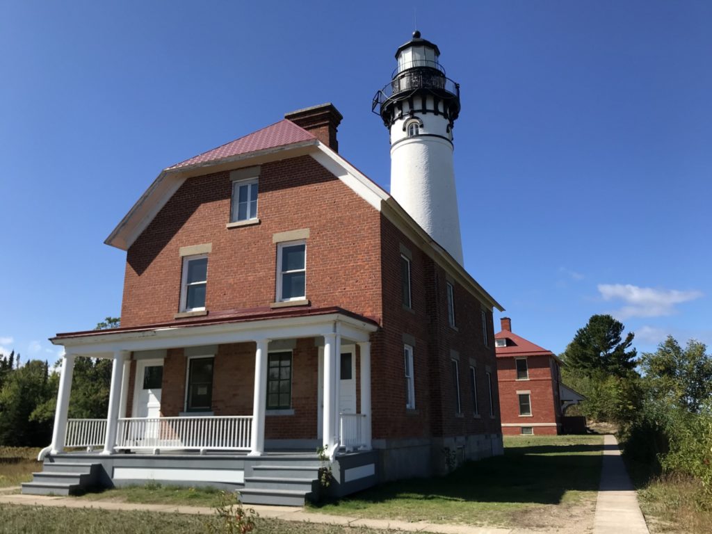
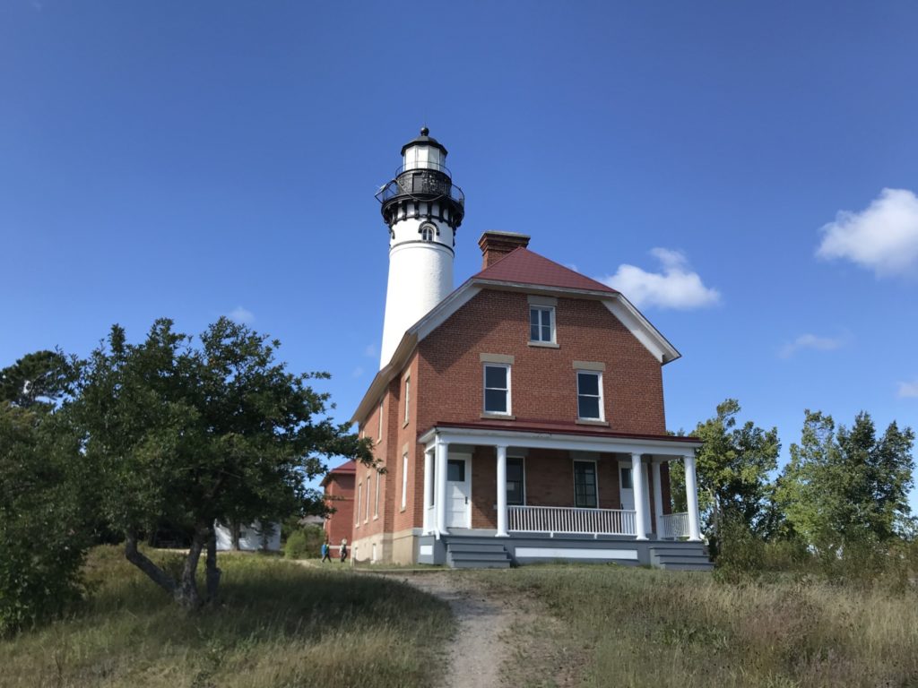
We ate our packed lunches and then took the longer hike from the Hurricane River to the Au Sable Light Station. This was a wonderful hike along a wide path in the woods beside the shore. You can only get to the lighthouse by walking so it is a very popular hike. The Au Sable Light Station is beautifully restored and was very interesting. We could have taken a tour of the lighthouse but opted to walk around ourselves instead of waiting for the tour to start. We talked to the volunteer who was running the museum. Her husband was giving the tours of the lighthouse. They lived upstairs during their volunteer time. She said it was an interesting place to live for the summer but they were ready to head back to “civilization.”
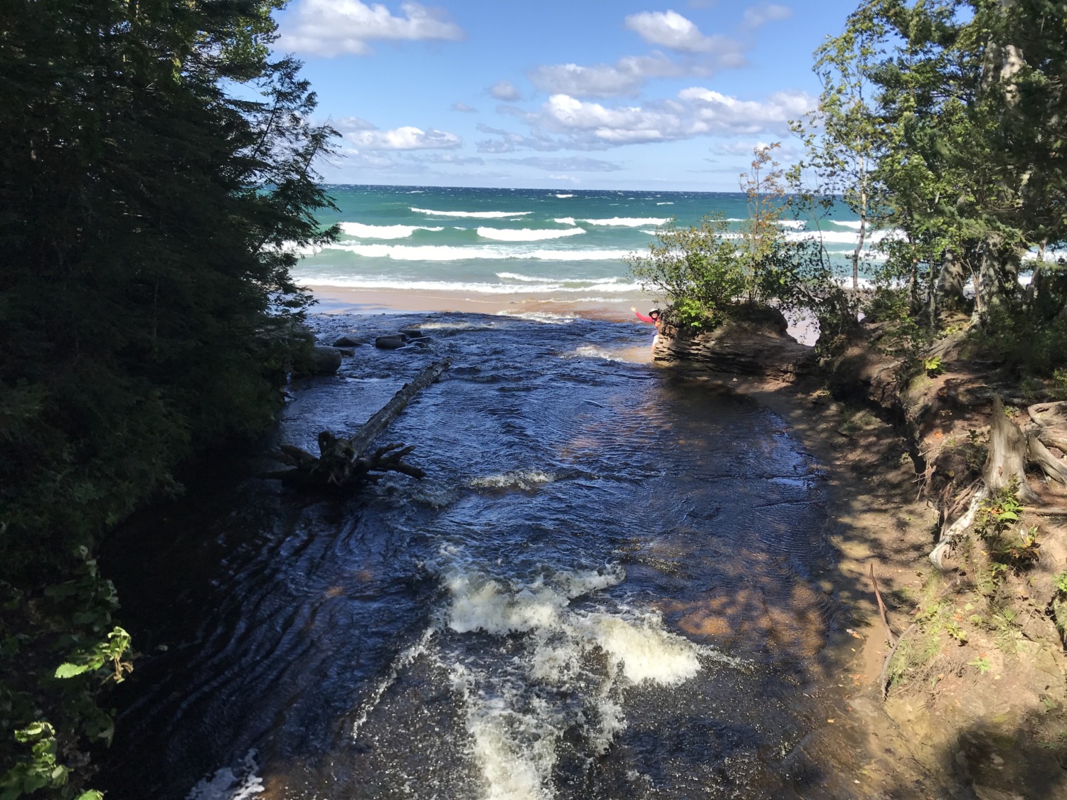
When we got back to the parking lot, we took a little time to play along the Hurricane River. Tom and Sandy explored the beach area and I walked along the trail to the bridge over the river. It isn’t a very big river but it was very scenic. I took this picture from the bridge. You can see Sandy waving from behind a rock at the mouth of the river.
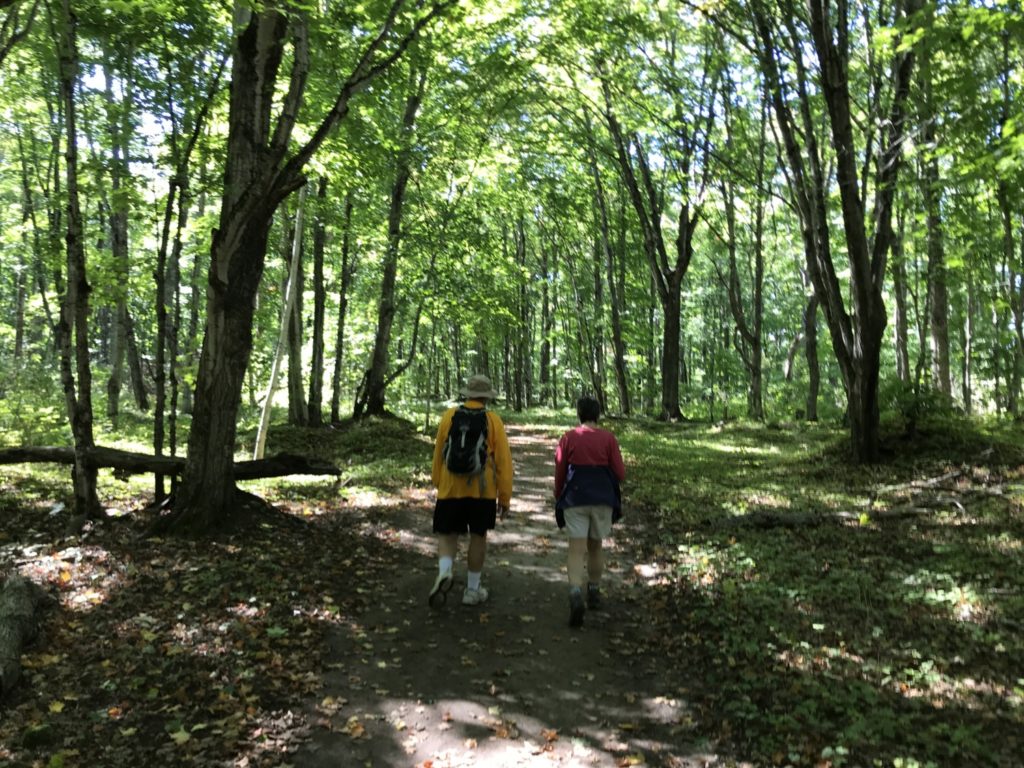
We decided to take one more hike before heading back to the campground. We drove down to Chapel Road, another rough dirt road. The hiking in Chapel Basin is very popular and the parking lot was crowded with people parked along the road, making it more challenging to navigate. We snagged a parking spot and headed to Chapel Falls. This is an easy three-mile hike to the cascading waterfall that empties into Chapel Lake. Although it is considered one of the prettiest waterfalls in the park, we felt like we were alone on the hike. There was only one other hiker at the falls when we got there.
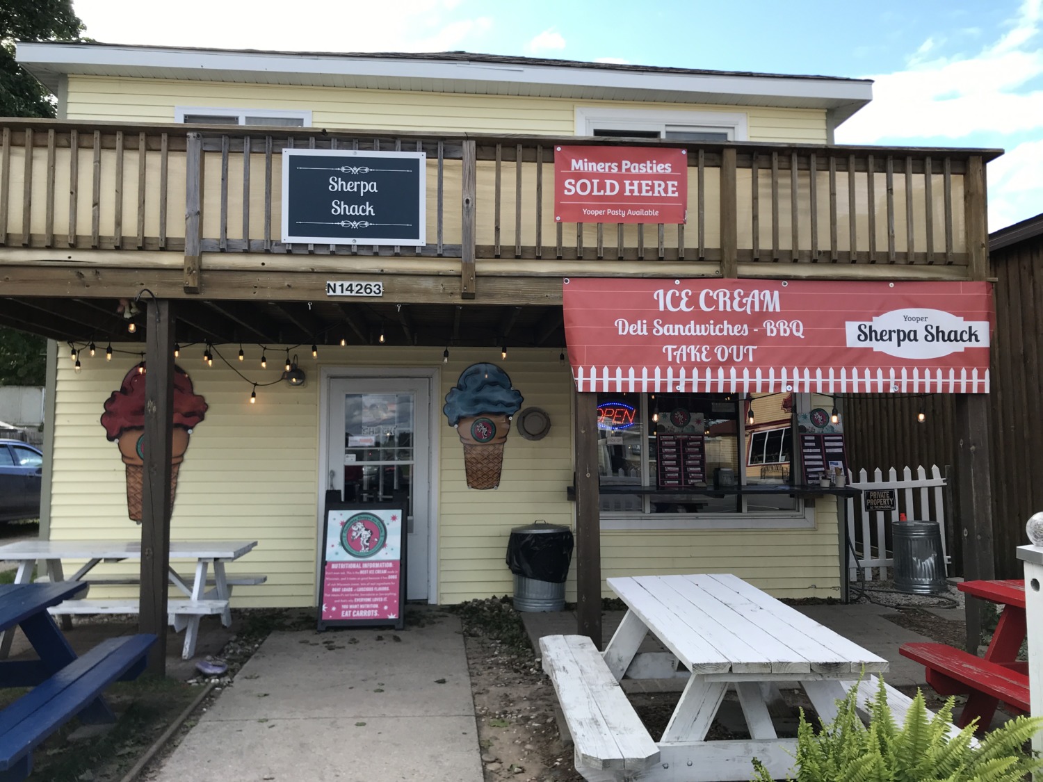
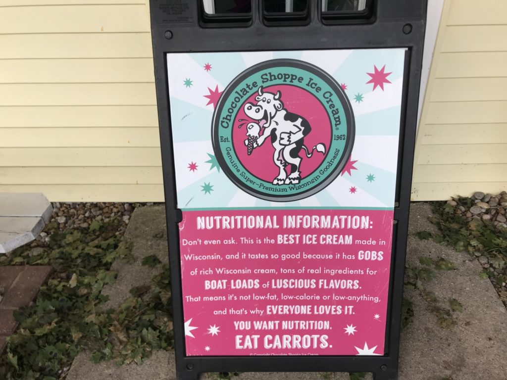
When we finished this hike, it was time to head back to Muskallonge Lake. We did, however, make one more stop. After all that hiking on a warm September day, we wanted ice cream. Fortunately, there is a wonderful little ice cream shop in Grand Marais called the “Sherpa Shack.” They have pastys and ice cream. Their ice cream is Chocolate Shoppe and I love their sign on nutritional information. “Don’t even ask. This is the best ice cream made in Wisconsin, and it tastes so good because it has gobs of rich Wisconsin cream, tons of real ingredients for boat loads of luscious flavors. That means it’s not low-fat, low-calorie or low-anything, and that’s why everyone loves it. You want nutrition. Eat carrots.”
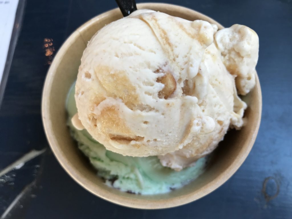
The ice cream was delicious and even better because we were hot and tired. They had so many yummy flavors that I had a hard time picking what to get. I got a scoop of Caramel Apple Pie and a scoop of Zanzimint and they were both delicious. I ate every bit. Tom got some vanilla with chocolate syrup and Sandy tried a couple of adventurous flavors as well. A nice ending to a wonderful day of hiking and exploring.