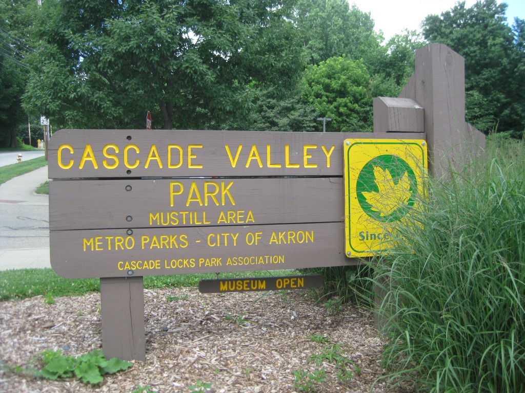
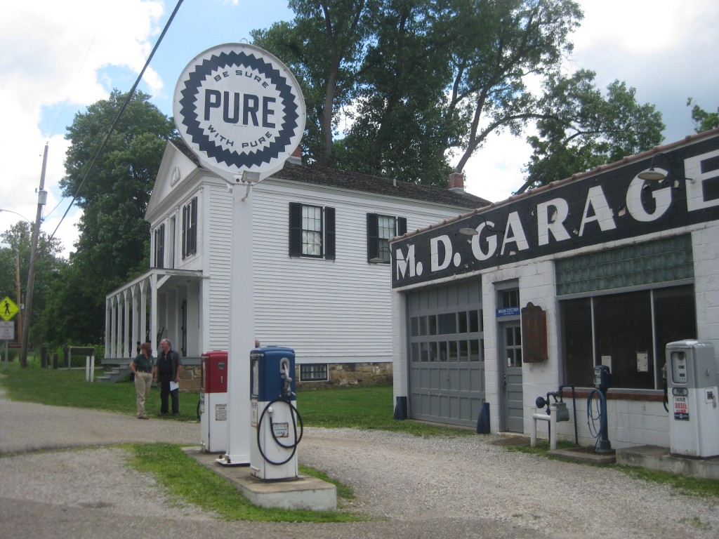
Yesterday was such a beautiful day – sunny, no humidity, and about 70 degrees – that Tom and I decided to take a longer bike ride on the Towpath Trail. We loaded up the bike and our gear and headed to downtown Akron. We parked at the Cascade Locks trail head and headed north. We had just gone by Mustill Store when we encountered a sign that told us that the trail was closed to Memorial Parkway (about a mile). Knowing that the trail had suffered some washouts with the heavy rains in June, we had checked the trail website for updates on closings. Not a word about this closing. Hmph.
We asked the clerk at the Mustill Store about it, and she said there was a one mile detour. If we went just up the street to Hickory, and followed Hickory to the end, we would be at Memorial Parkway. So we climbed back on the bike and headed up to Hickory.
One of the things I am enjoying about retirement is exploring new places and Hickory is a street in Akron that I have never been on before. It is one of those odd urban-rural streets, where there are a bunch of houses, but they look like they belong more on a southern country road. And toward the end of the street, before Memorial Parkway was the steepest hill that Tom and I have faced on the bike. Tom (the engineer) says it was a 35% grade. Going down was fine, although I felt a little like you do on a roller coaster at Cedarpoint at the very top of the first big hill. But we knew we would have to face going up the hill on our way back to the truck.
The Towpath Trail was very busy in the morning when we started. The first few miles are still in urban Akron, but they keep street crossings to a minimum. We passed the Waste Treatment Plant which didn’t smell as bad as it has on other days. Then we entered the Cuyahoga Valley National Park. During much of the ride, the trail goes beside the old Ohio Erie Canal. In the CVNP it also runs beside the Cuyahoga Valley Scenic Railroad tracks, by the Cuyahoga River (not in any danger of catching fire these days), and by Riverside Rd.
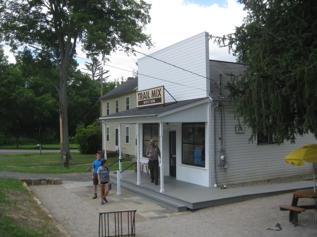
In the park we passed several groups of kids with rangers, obviously participating in some kind of park program. We also passed a couple of large biking groups, including one made up of campers from somewhere nearby. Lots of people on the trail had decided it was a good morning for a ride and rented bikes from Century Cycles. At the Boston Store trail head we decided to turn around. We stopped for a sandwich and shared some ice cream at the Trail Mix store operated by the National Park. We walked around the museum and read a few markers before we climbed back on the bike and headed south.
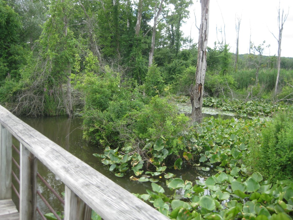
This part of the Towpath Trail is mostly crushed limestone and it is very hard packed. There are several boardwalks over marshy areas and some asphalt. Yesterday there were a surprising number of people on the trail but most of the people were polite and paid attention to the rules of using the trail. Overall, the trail is beautiful, lush, and cool – a wonderful oasis in an urban setting. According to my Runtastic app, we rode 32.2 miles in 2 hours and 27 minutes with an average speed of 13 miles per hour. We changed elevation 1,184 feet – mostly on that hill on Hickory. I burned 1,137 calories, so it was okay for me to share that ice cream (Mitchell’s homemade Fudge Brownie Caramel) with Tom.
As for that hill on Hickory coming back – yes, it kicked our butts. We ran out of low gears before we ran out of hill, but the ride was too much fun to be ruined by one steep hill. It just gave us more time to enjoy the scenery!

