In December, 2016, President Obama created Bears Ears National Monument. His proclamation set aside 1.35 million acres to be jointly administered by the US Forest Service and Bureau of Land Management. One year later, December of 2017, President Trump slashed the size of the monument to 200,000 acres and divided the remaining land into two sections.
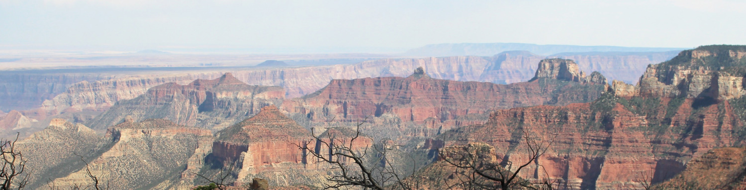
A northern section, Indian Creek Corridor, has 71,000 acres that abut Canyonlands National Park. The Indian Creek area is filled with petroglyphs, pictographs, puebloan ruins, and miles of hiking and atv trails. The southern section, Shash Jaa, contains 129,000 acres of cliff dwellings, rock monuments, and the famous Bears Ears Buttes for which the monument is named.
Tom and I wanted to visit Bears Ears National Monument before it disappears entirely. After all, most of the BLM monuments have a stamp! But finding information on the new monument was very difficult. Bluff, Utah, is billing itself as the gateway to Bears Ears National Monument. They built an education center and welcome center and hope to draw tourists. But when President Trump slashed the size of the monument, some of those plans were put on hold and the center is not open yet.
We headed to Blanding, Utah, the next town north, hoping to find some information there. We started at the Blanding Visitors Center. They had a small map of the monument but not much else. They suggested we try the Edge of Cedars State Park Visitors Center on the other side of town. The rangers at the park were helpful. They had new, large maps of Bears Ears Monument, southern and northern sections. These maps show points of interest and many of the trails. But no stamp. Oh well.
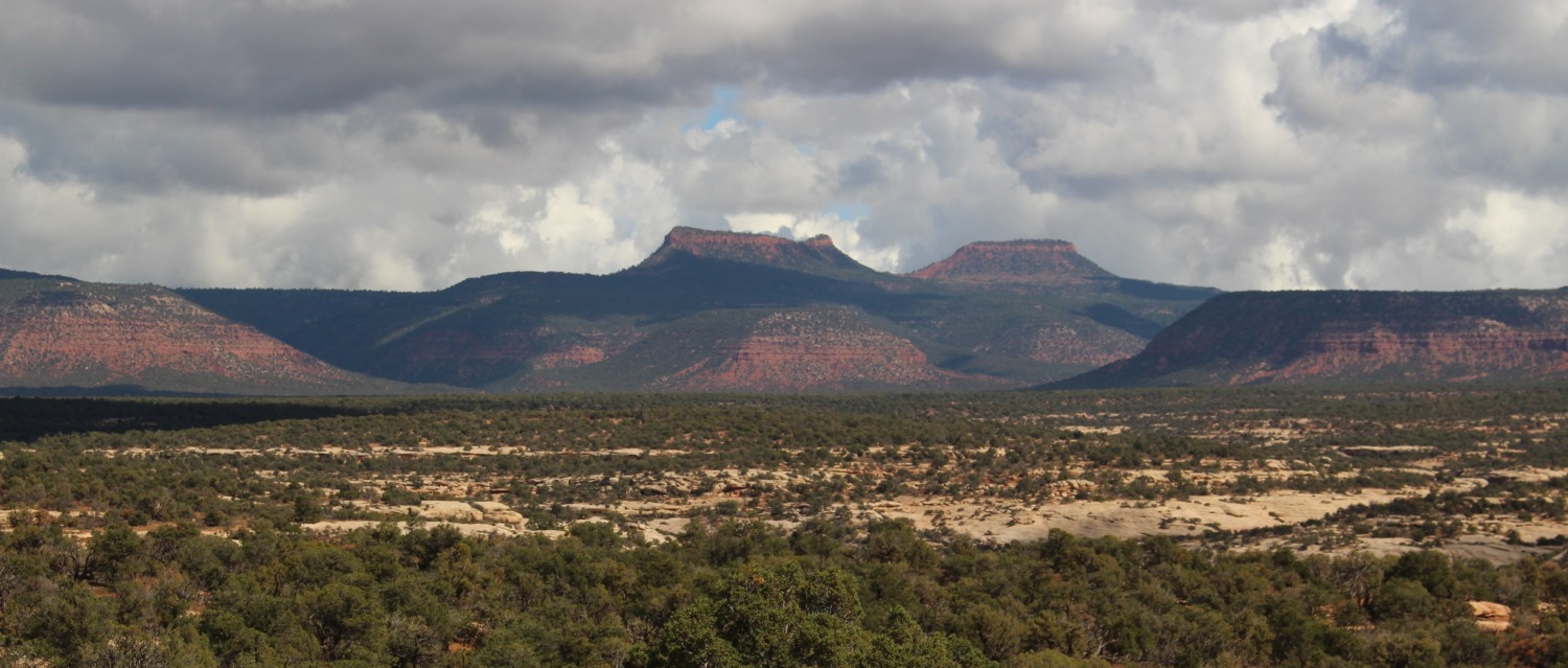
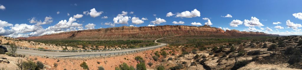
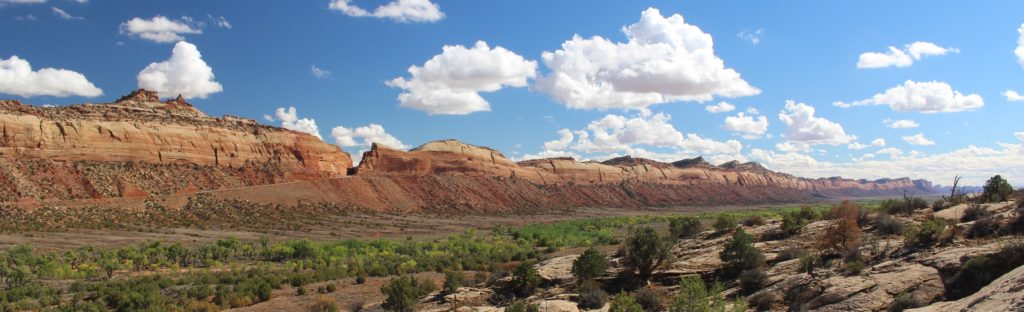
After getting the map, Tom and I headed out to visit some of the places in Bears Ears National Monument. The first day we drove Utah 95 which bisects the Shash Jaa Unit. This allowed some awesome views of Bears Ears Buttes. We decided not to drive to the Buttes because the only road to them is a rutted dirt road. But we did enjoy seeing them from several angles.
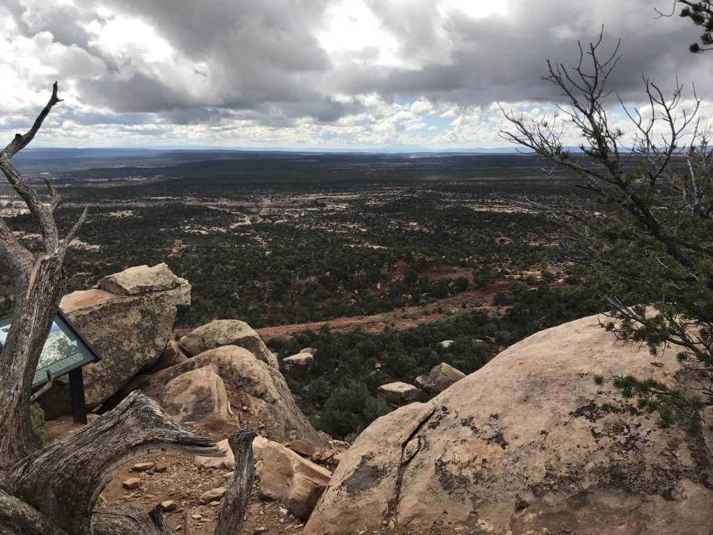
Then we climbed up Salvation Knoll. Brigham Young sent Mormon pioneers out from Salt Lake City to settle the remote parts of southeastern Utah. A four man scouting party got lost amid the canyons and mesas for weeks. Out of food and sure they were going to starve in the wilderness, the four men climbed a steep little hill on Christmas day, 1879. From the summit they saw the Blue Mountains, the landmark they had been searching for. They were saved! And thus the hill got its name.
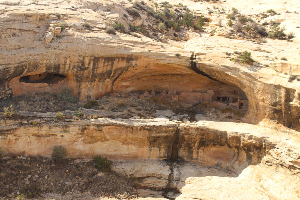
To sample the diversity of Bears Ears, we hiked the Butler Wash Ruins Trail. This is a nice, developed trail that follows a wash up to a canyon with cliff dwellings. We saw the cliff dwellings from the overlook and then walked back to the trail, admiring the beauty and remoteness of the area.
The next day we visited the Indian Creek area of Bears Ears. Utah 211 passes through this area on its way to the Needles District of Canyonlands National Park. There are some long, backpacking trails in the Indian Creek area with lots of campsites and we didn’t visit any of them. We did, however, stop at the most visited feature of this part of the monument. Newspaper Rock State Historical Monument is a large rock in the narrowest part of the canyon and is covered by petroglyphs. Hundreds of petroglyphs cover the rock face with some carved over ones underneath. It did seem almost like a newspaper that ancient people might have understood and read.
Both areas of Bears Ears National Monument are beautiful and invite exploration. People living locally are using and enjoying these natural areas. Unfortunately, Tom and I could not give them the time that they deserve. But, hopefully, they will be there for us to enjoy in the future.