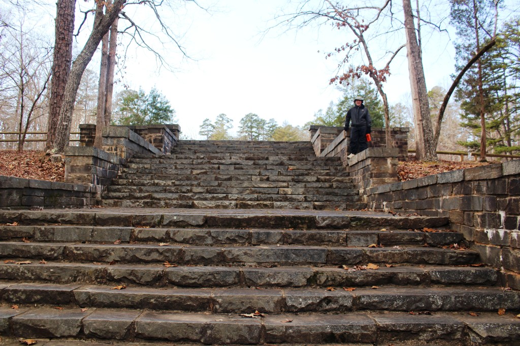
After listening to several more people who got lost on their way out of Kings Mountain State Park over the weekend, Tom and I decided to take a hike from there to see what the trouble was. We drove to Crawford Lake at Kings Mountain State Park, found the trailhead, and headed out.
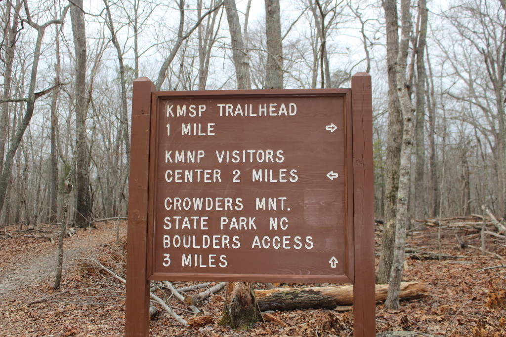
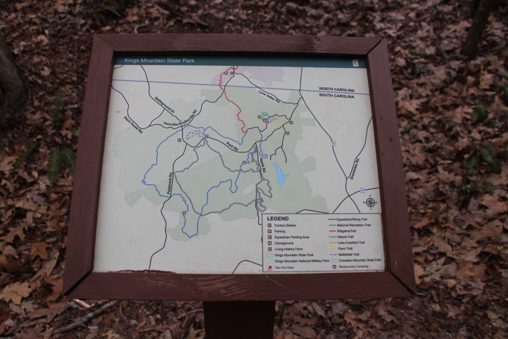
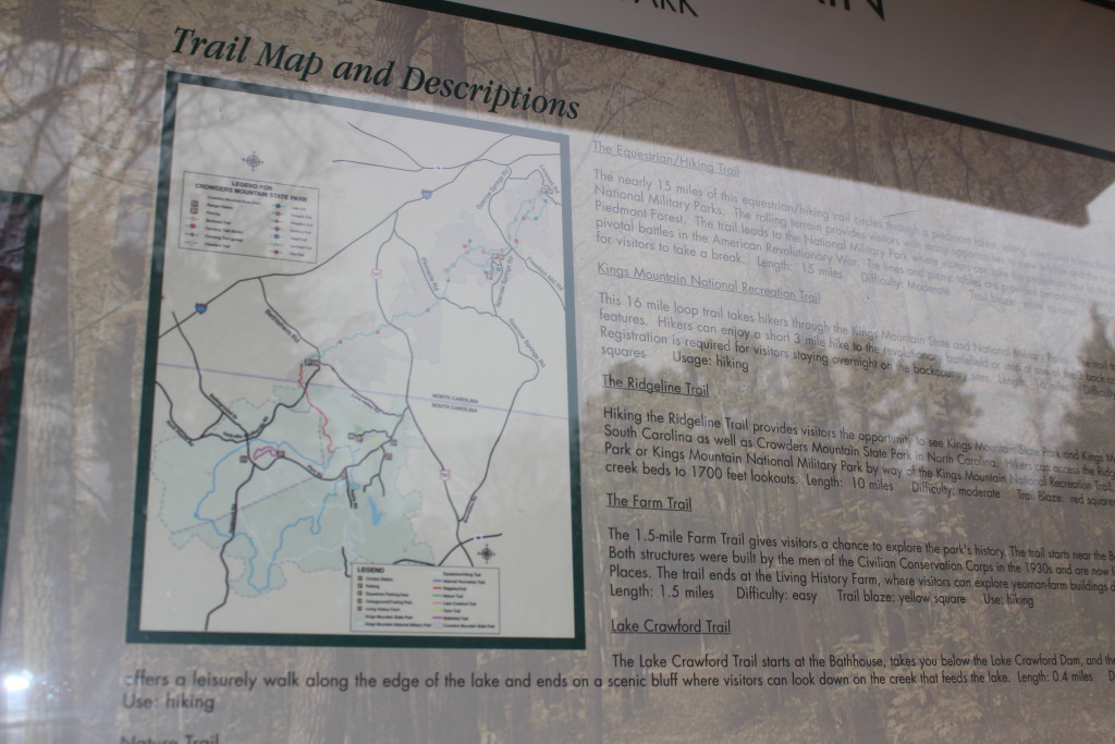
The Kings Mountain National Recreation Trail is a 16 mile loop around Kings Mountain National Military Park and Kings Mountain State Park. Part of the trail to Browns Mountain runs along the National Recreation Trail. We didn’t want to hike all of it, but the part from Crawford Lake to the Kings Mountain National Military Park seems to be the part that people have trouble with. It is a little more than three miles from Crawford Lake to Kings Mountain National Military Park so that was our hike on Monday.
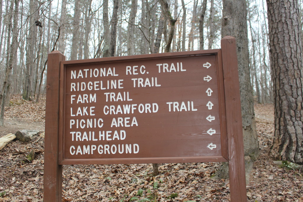
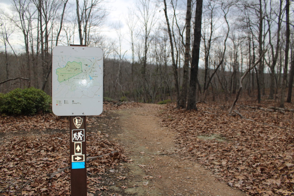
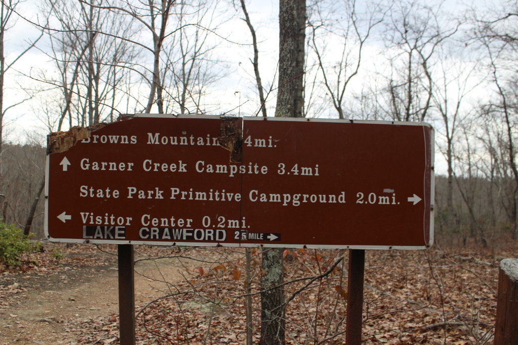
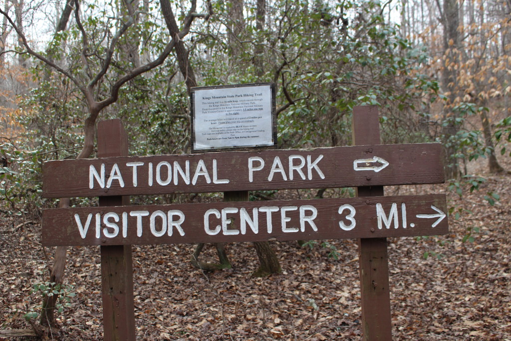
Soon after we started we could see the problem. Although there are maps and signs all over the place, not all the trails are on the maps, and confusing abbreviations are used on some of the signs. Also, the maps are missing a very important component: a “you are here” dot. So, even if you know what trail you are supposed to be on, you can’t tell where you are when you look at the map. Tom and I knew where we were going, knew what trail to take, and we still found the maps confusing.
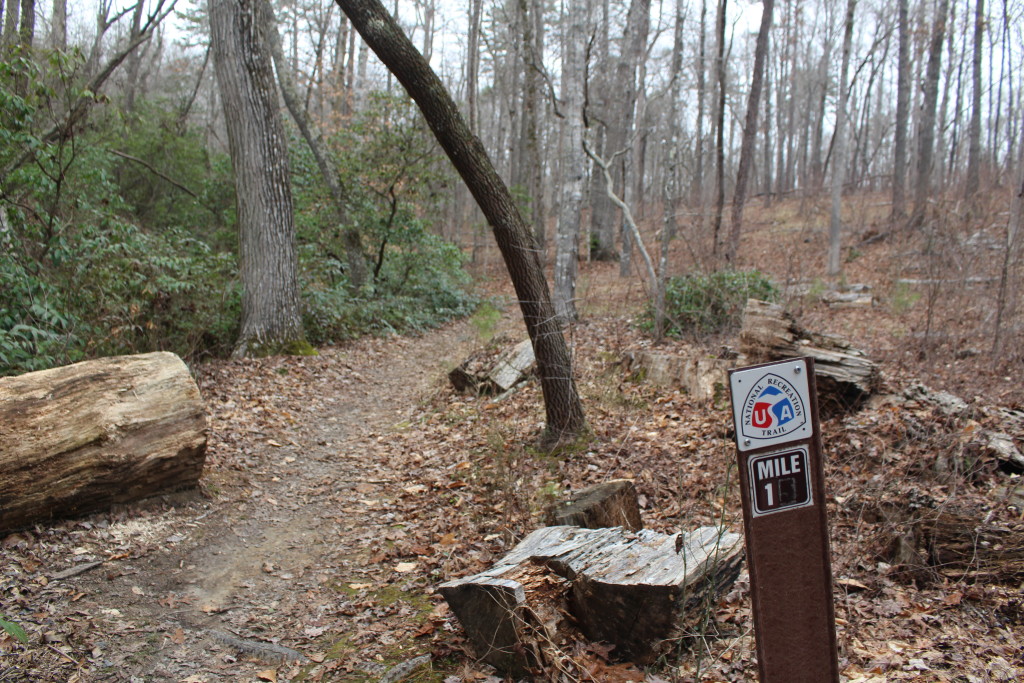
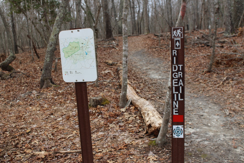
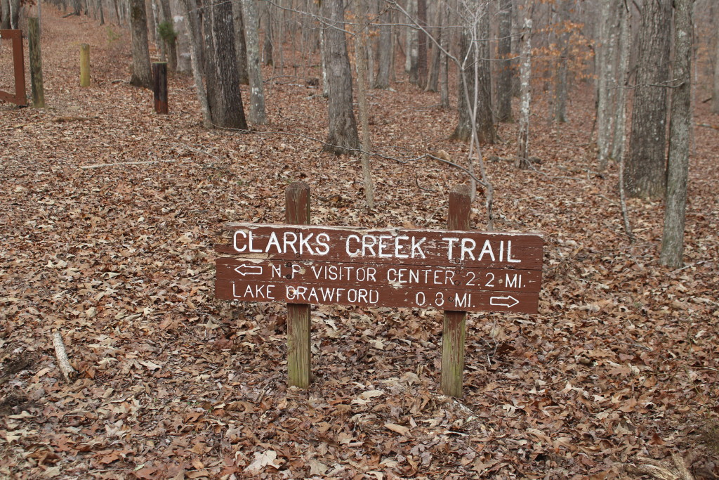
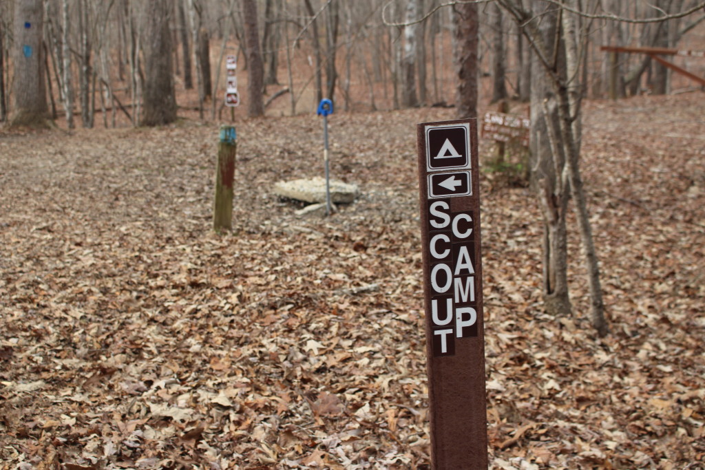
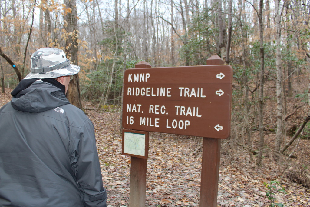
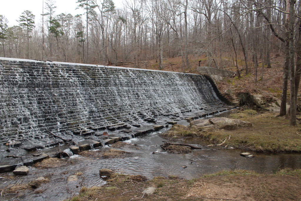
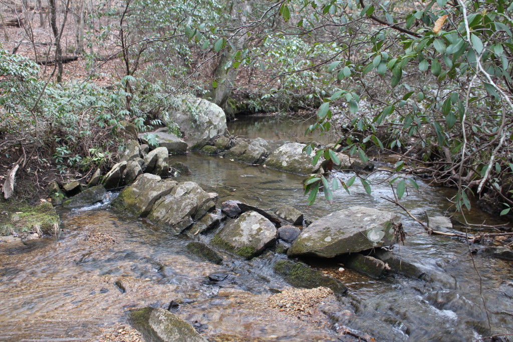
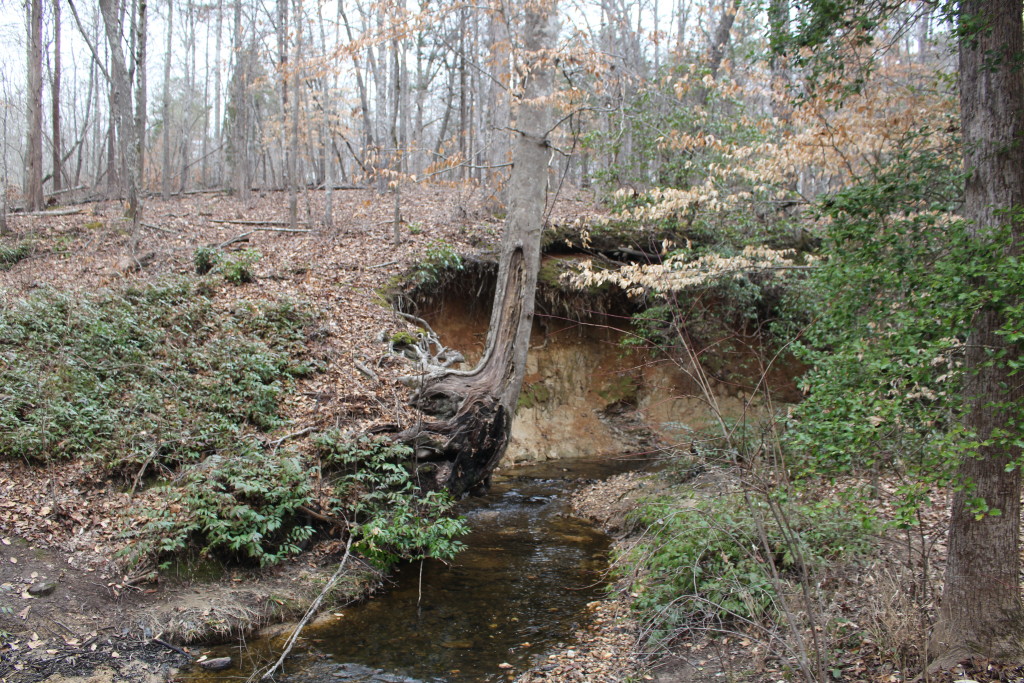
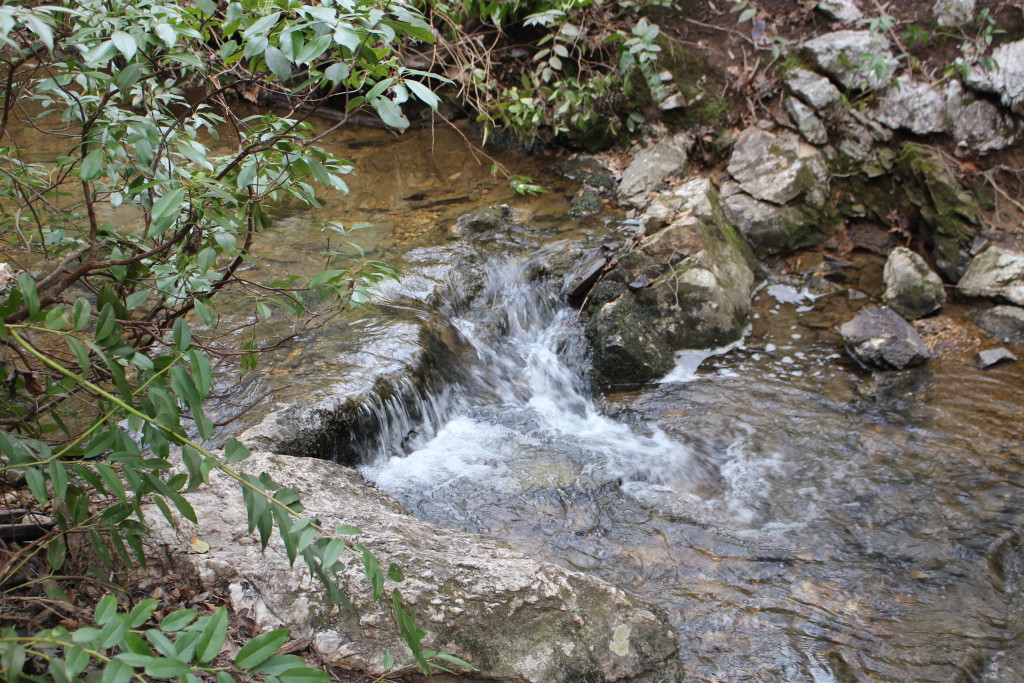
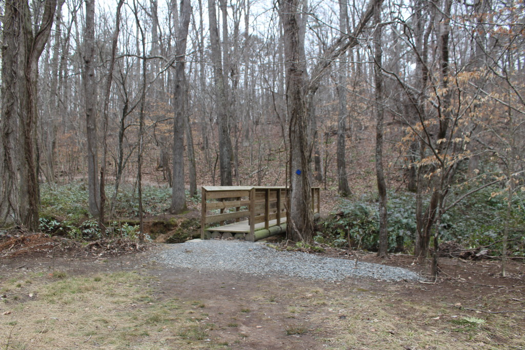
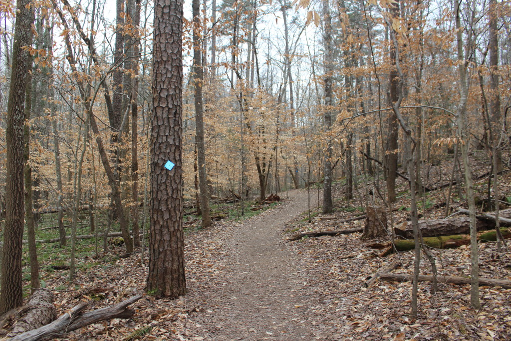
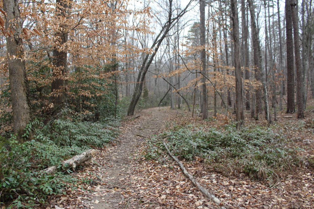
The trail between Crawford Lake and Kings Mountain National Military Park is easy to follow (blue blazes) if you ignore the signs and just watch for the blazes. It is a pretty trail that passes several babbling brooks and lots of mountain laurel. It follows the ridgeline a couple of places (but don’t confuse it with the red blazes of the Ridgeline Trail). It was a good hike for an afternoon.
On Saturday we had to call our Law Enforcement Ranger to help in the rescue of a woman who had followed the National Recreation Trail until she was far away from everything except the back country primitive campground. She thought she was taking the trail to the National Military Park Visitors Center. The Ranger was able to figure out where she was and guided her to a nearby road to be picked up.
Tom and I will make some recommendations to the State Park because, after hiking this part of the National Recreation Trail, we can certainly understand why people are ending up lost at the Visitors Center. Not that they will take the recommendations. In the end, hikers need to take responsibility for where they are. If you are hiking anywhere, it is always a good idea to know where you are going, what to expect along the trail, and bring your own map.