Yesterday Tom and I enjoyed an adventurous ride on the Westerville Bike and Walk Trail. We also rode two shorter trails that are north of the Westerville Bike and Walk Trail called the Genoa Trail and the Hoover Scenic Trail.
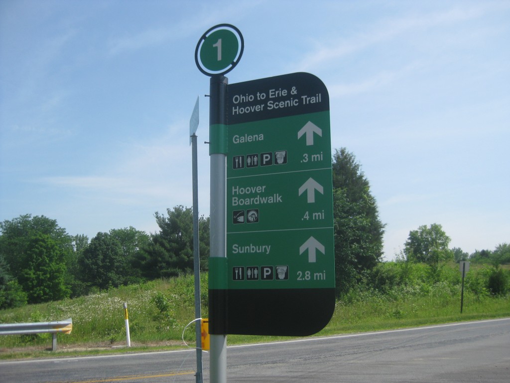
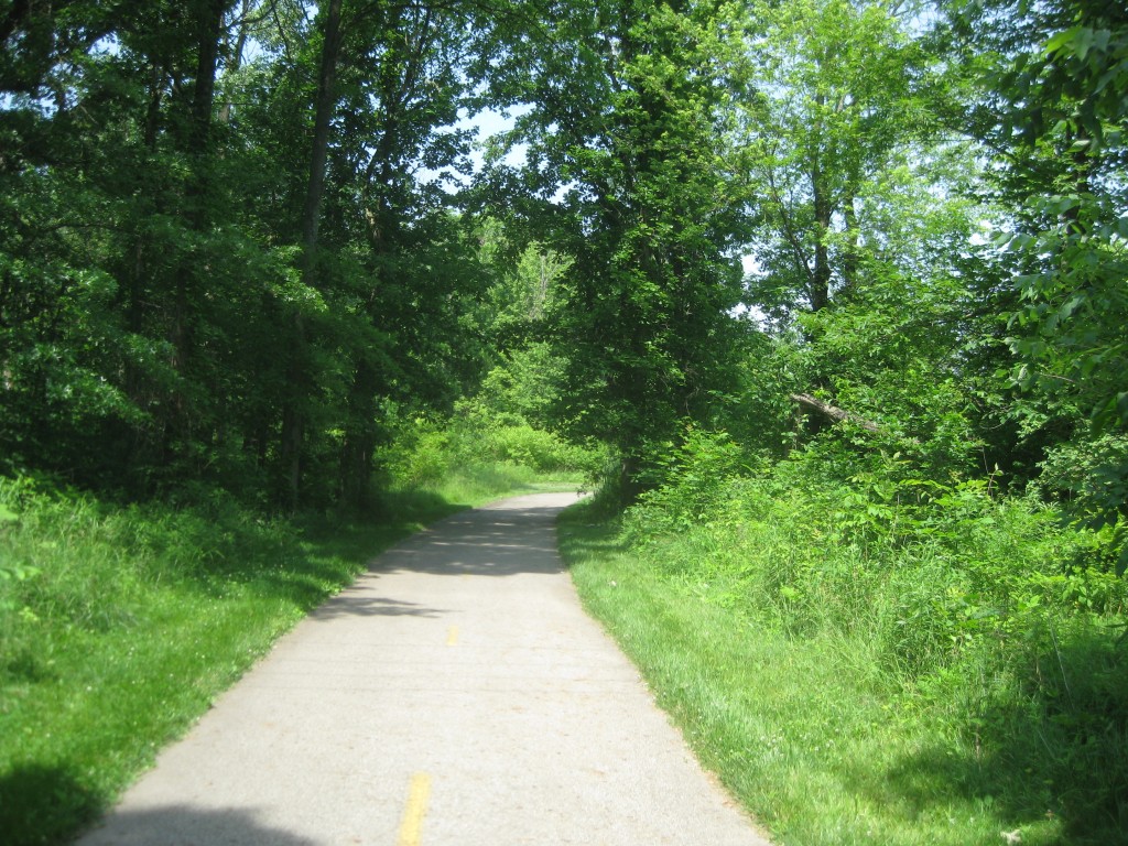

The Genoa Trail and the Hoover Scenic Trail (which runs along Hoover Reservoir north of Columbus) are short trails that are easy to follow once you find the parking lot trailheads. Both trails are shaded and cool. The Genoa Trail is four miles, and then a short ride on the road leads to the Hoover Scenic Trail, which is only 1.4 miles at this point. The Hoover Trail has a wonderful bridge, which Tom thinks used up its trail development budget for the next ten years.
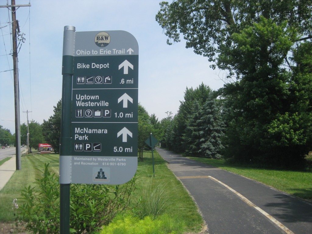
The Westerville Bike and Walk Trail is 26 miles of bike trails that go all directions. Some of them are well-marked, others are not. There are five main trails, but they are not designated by name on the signs. Each of the trails is and out and back – we would have appreciated a little more connection since it is supposed to be part of a system. It seems best to know what your destination is, and then try to follow the trail signs along the way.
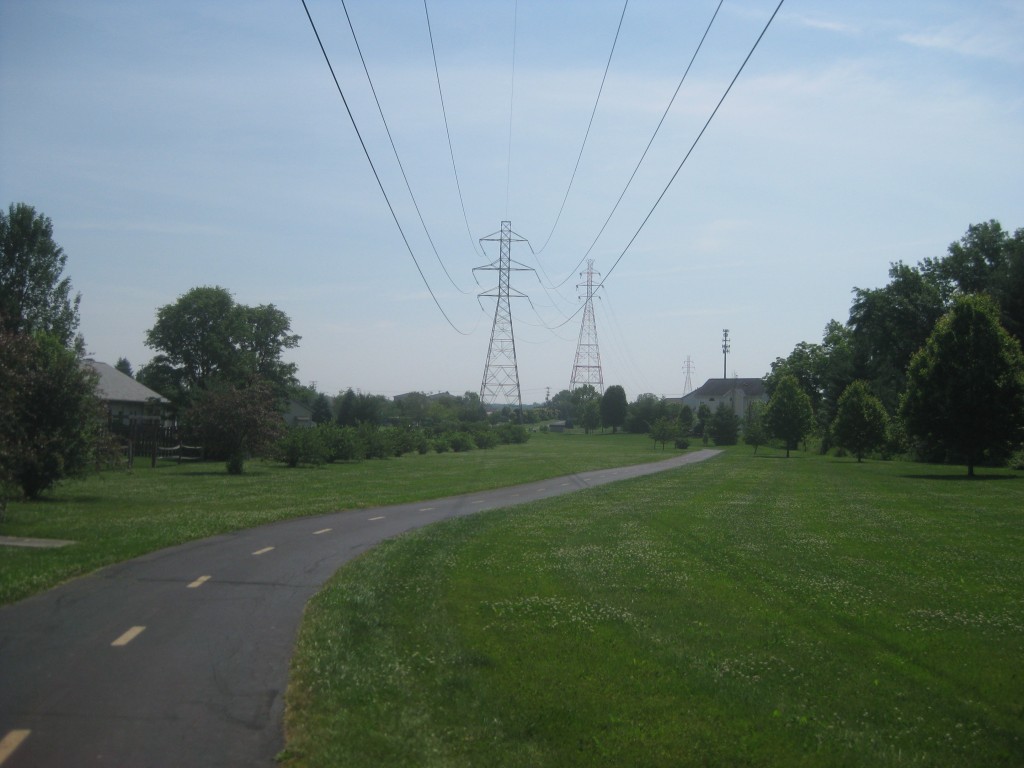
Tom and I started the Westerville Bike and Walk Trail at Maxtown Road. We wanted to go to Hoover Reservoir because it was 90 degrees with no shade and I had the mistaken idea that it would be cooler and shady at the Reservoir. We had to ride on the road for about a mile because the end of the trail going east from Maxtown did not connect with the trail that ran east for the reservoir. When we found the Reservoir Trail, we hopped on and rode south down the west side of the Reservoir. It was pretty, but we were next to Sunbury Road which is a very busy road.
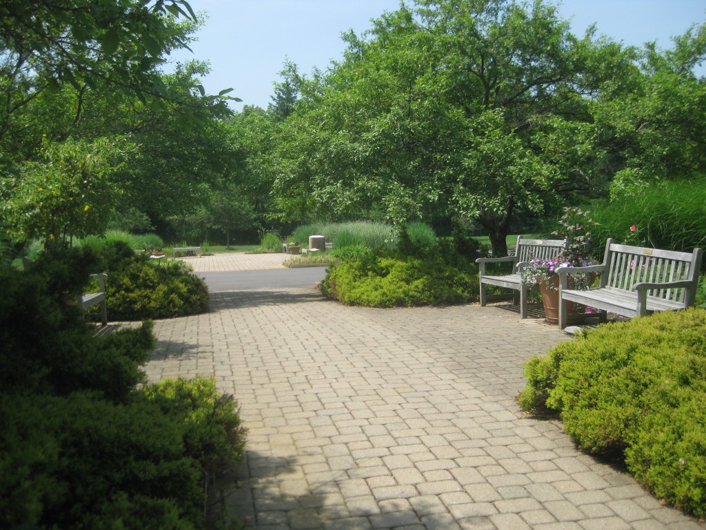
We continued on to the Chipmunk Connector Trail (so-named on the sign for the trail but not marked that way on any trail map) to the Inniswood Botanical Garden. Again, I searched unsuccessfully for shade so I could rest and eat a snack. I ended up standing in the sun while I ate my snack and drank some water, but the Inniswood Botanical Garden is beautiful, and we saw close to 60 volunteers taking care of the gardens, which was impressive.
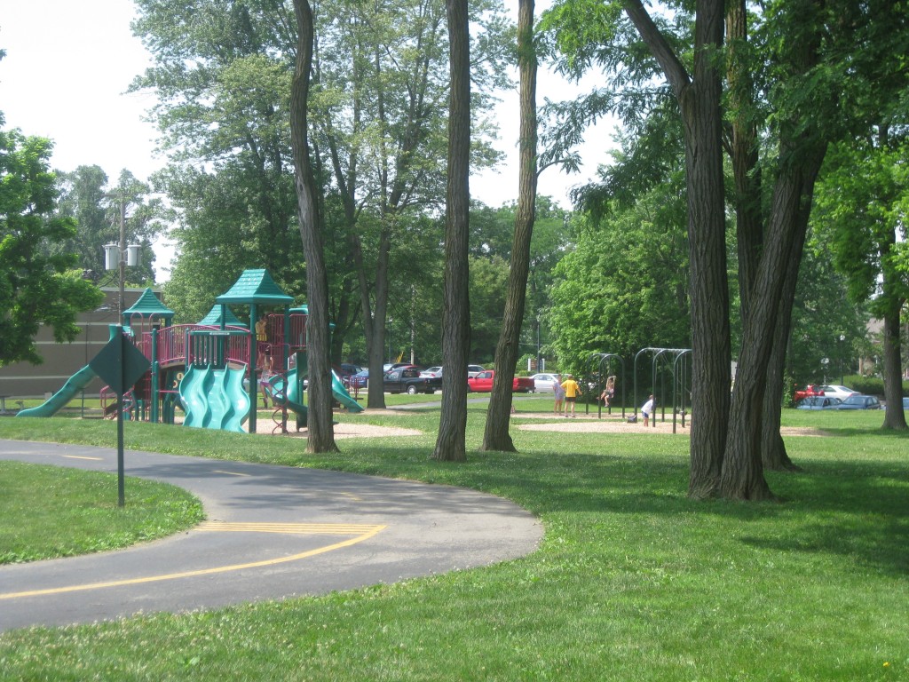
After looking at the map (every cyclist needs the Trailink app on their phone), Tom and I decided to hit Schrock Road west to get back to another part of the Westerville Bike and Walk Trail. Fortunately this area of Schrock Road was primarily residential. By the time we got to the busy, city part of the road, we were almost to the trailhead off OH 3. We headed north on this trailhead and made it back to McNamara Park where we started.
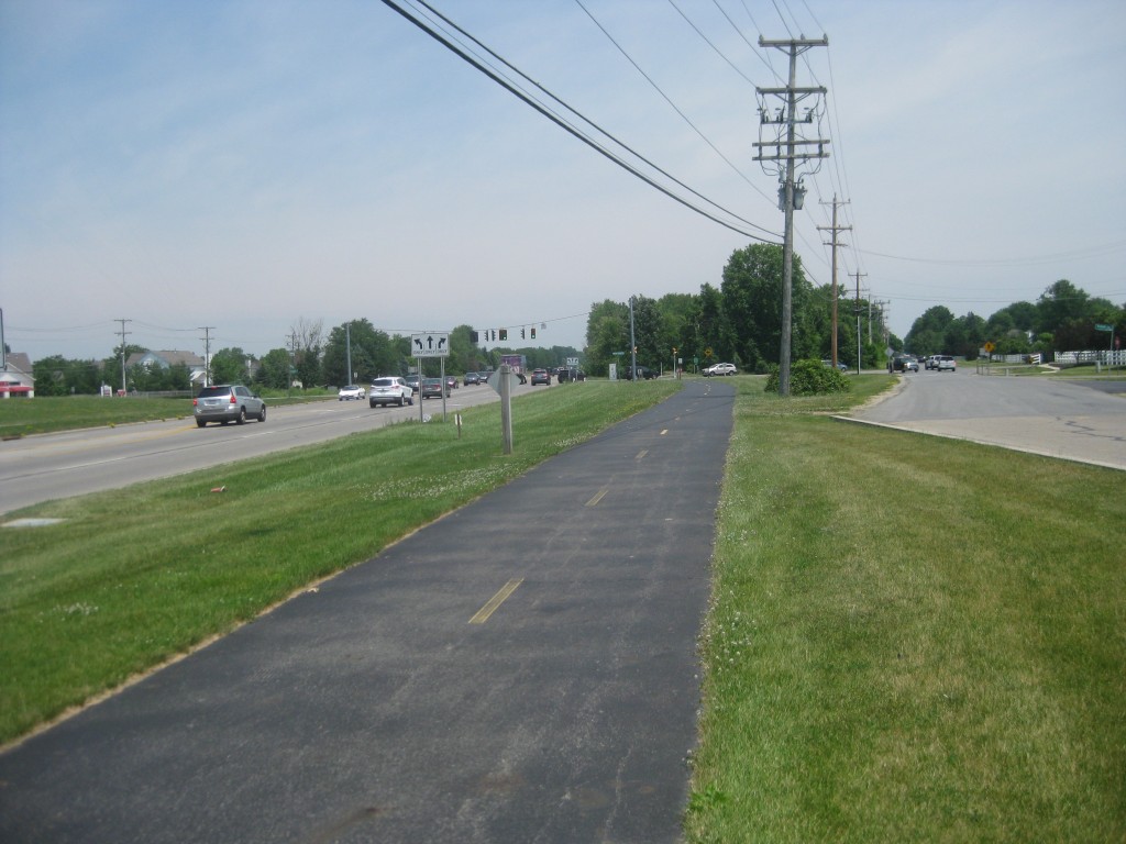
We ended up riding 23.5 miles total, most of it in full sun and with many busy road crossings. Unlike the Columbus trails, the Westerville trails were not separated from busy roads and made it necessary to get off the bike and walk across several roads (maybe that is why it is called the Westerville Bike and Walk Trail!). I appreciate the effort Westerville has made to have bike trails around town and we enjoyed our ride.