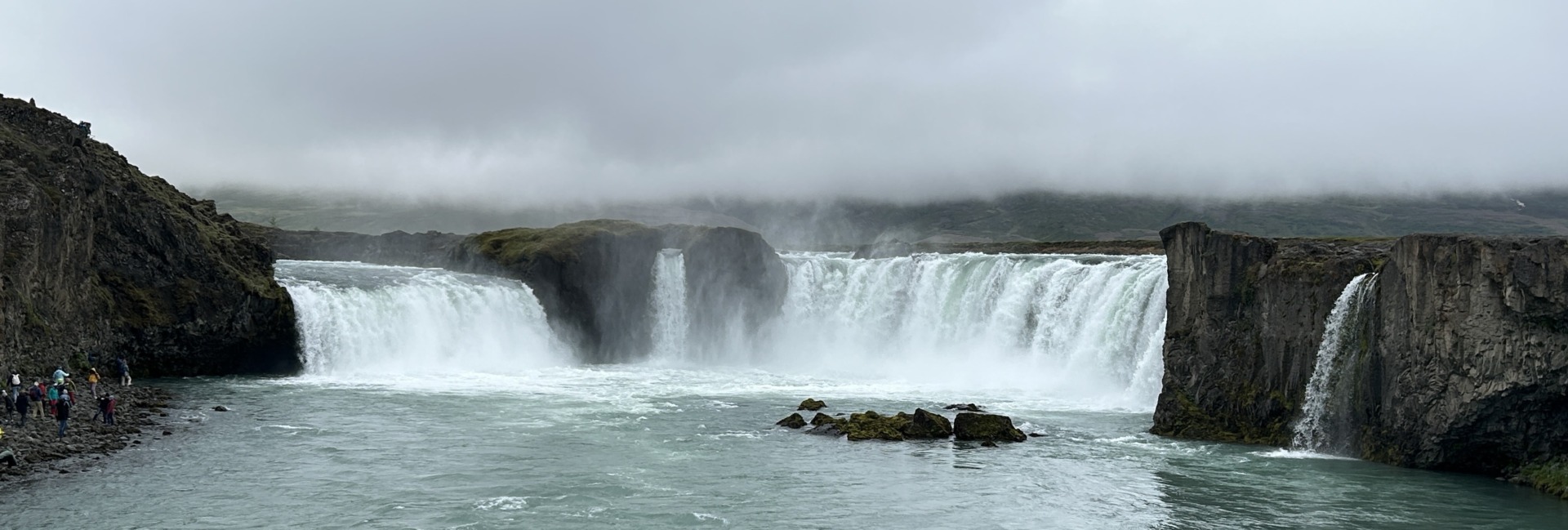
 We managed to hit all the National Park sites in Idaho during our short visit there. Nez Perce, Craters of the Moon, Minidoka, Hagerman Fossil Beds, and the four National Trails. Our last National Park site to visit was City of Rocks National Reserve.
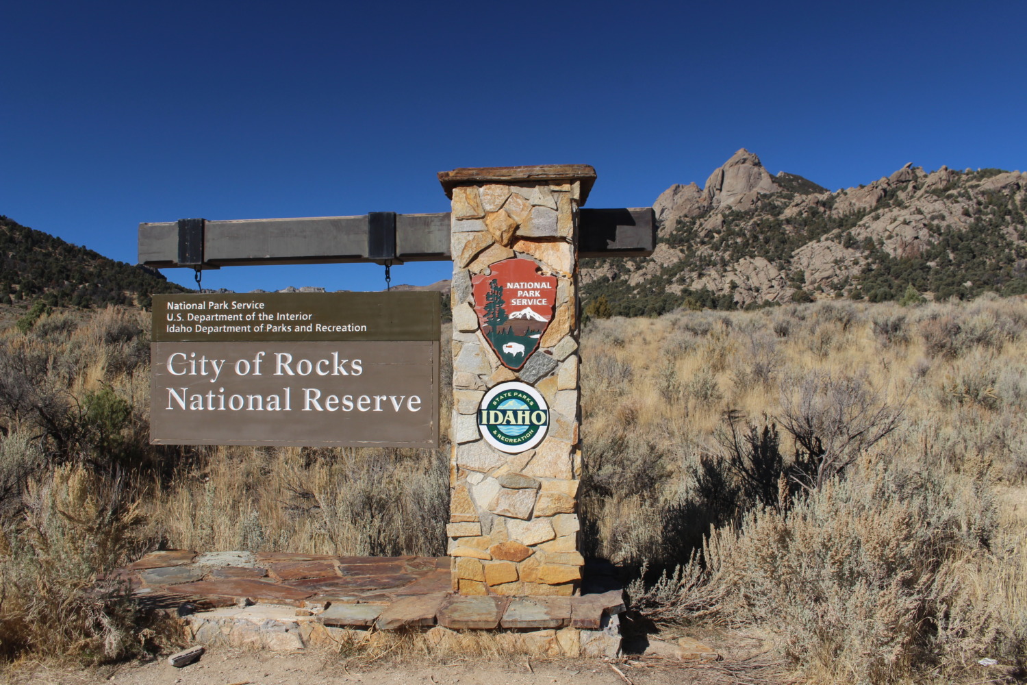
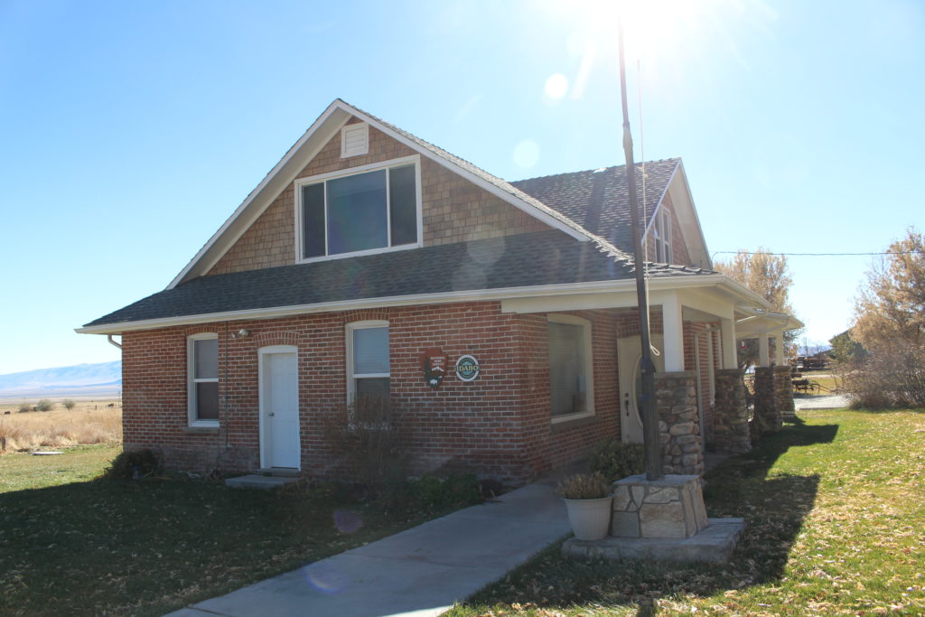
City of Rocks is another kind of partnership in the National Parks. The Trails have local partners, some parks have historic groups as partners. City of Rocks is a National Park partnership with the Idaho Department of Parks and Recreation. The Visitors Center is run by the Idaho Park rangers, which means that it is closed on Sunday and Monday. You would never find a site run by the National Park Service closed on Sunday. Unfortunately, Sunday was the only day we could visit, so I wasn’t able to get my stamp and, more importantly, the restrooms were closed!
If we hadn’t driven three hours to get to City of Rocks, we might have left without actually visiting the park. We didn’t have a brochure or trail map and we felt like we were heading in blind. Also, none of the roads in the park are paved and some of them are like washboards. We decided to at least drive through the park, knowing that it would take a while to navigate the dirt roads.
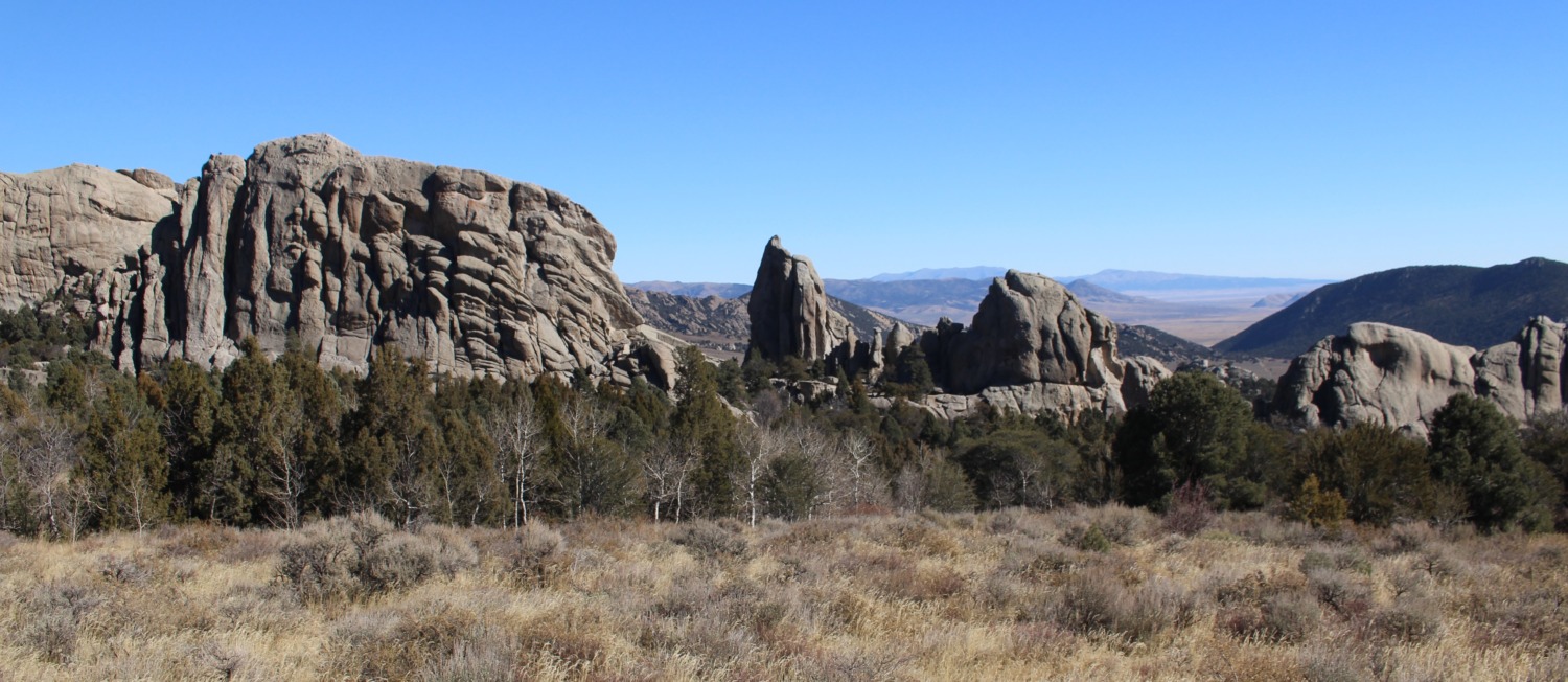
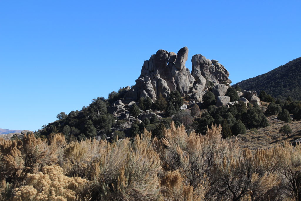
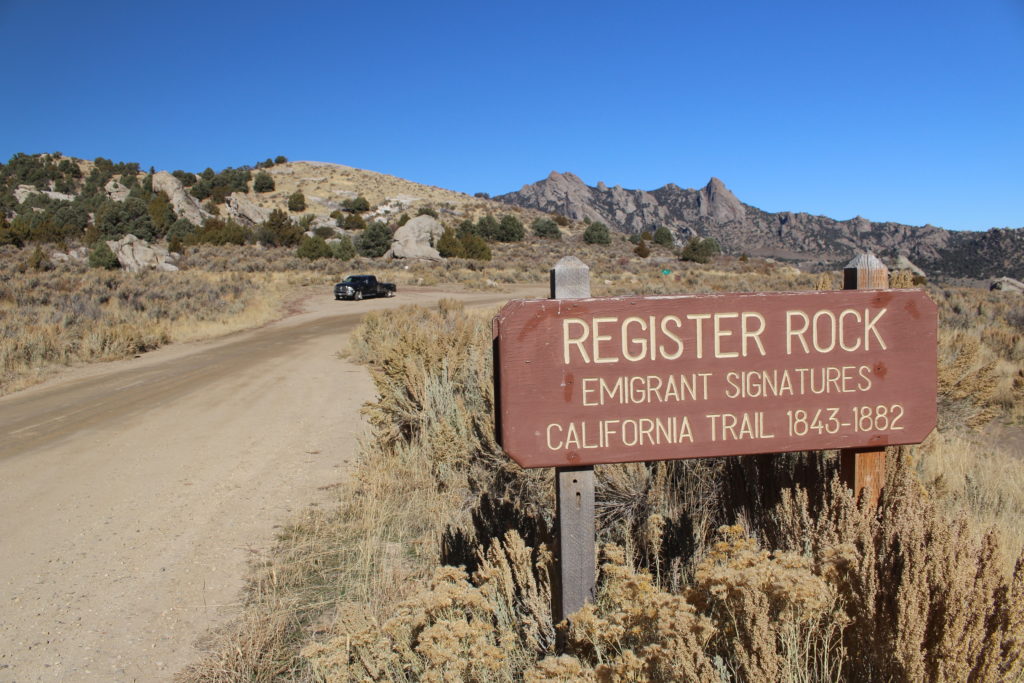
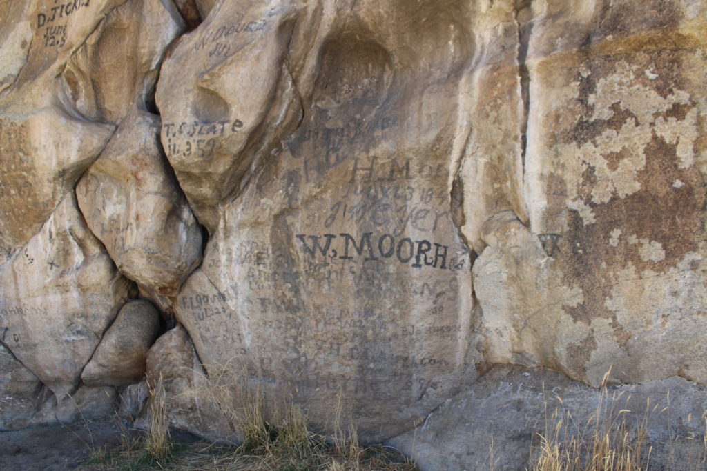
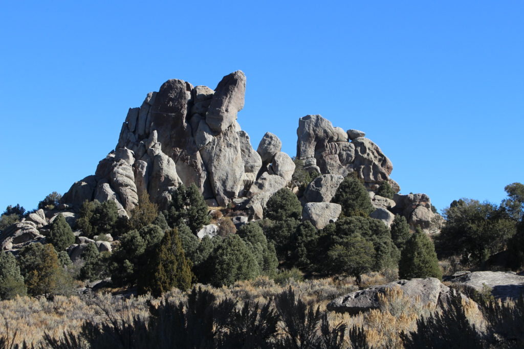
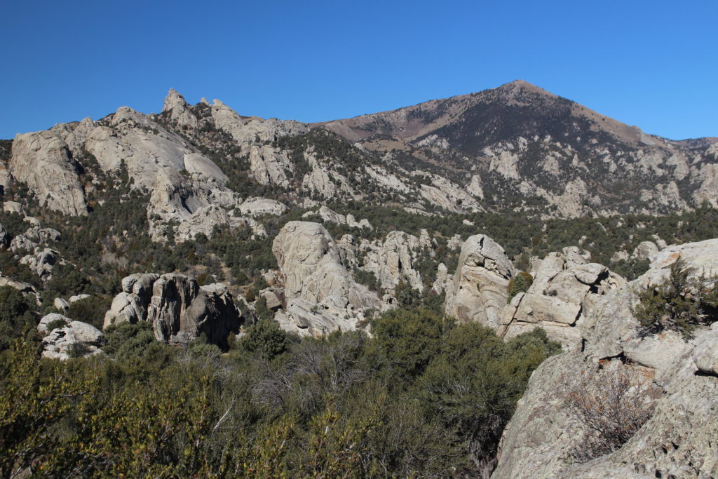
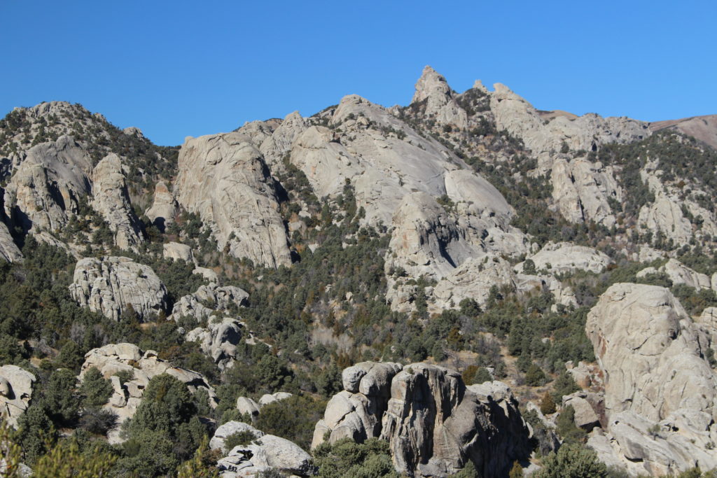
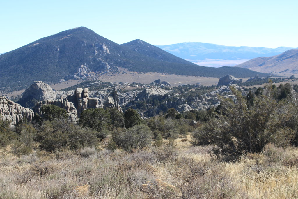
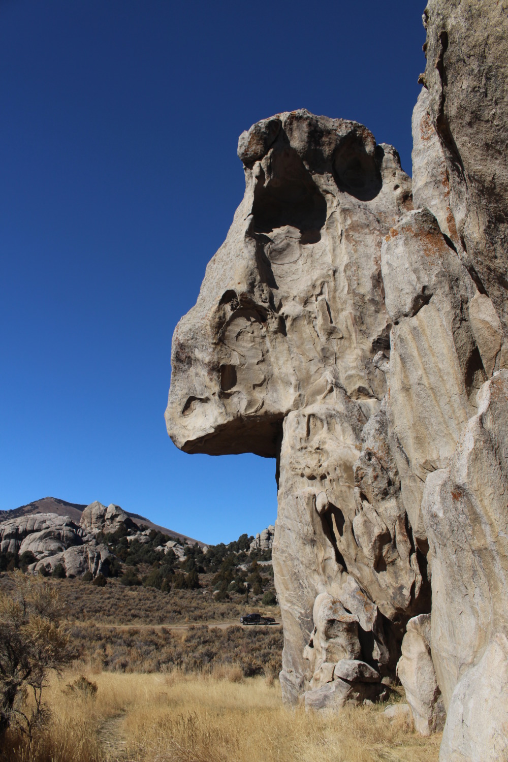 City of Rocks was one of the landmarks emigrants looked for along the California Trail. In 1852 alone, 52,000 emigrants passed through the valley. Granite rocks rise from sandy soil, looking like a “dismantled, rock-built city of the Stone age,” as one wagon traveler noted. Many of the early travelers signed their names on Emigrant Rock and you can see the names and dates today. The area is especially interesting because it is a small, boulder-strewn valley in between two mountain ranges. None of the granite boulders are visible from the other sides of the ranges.
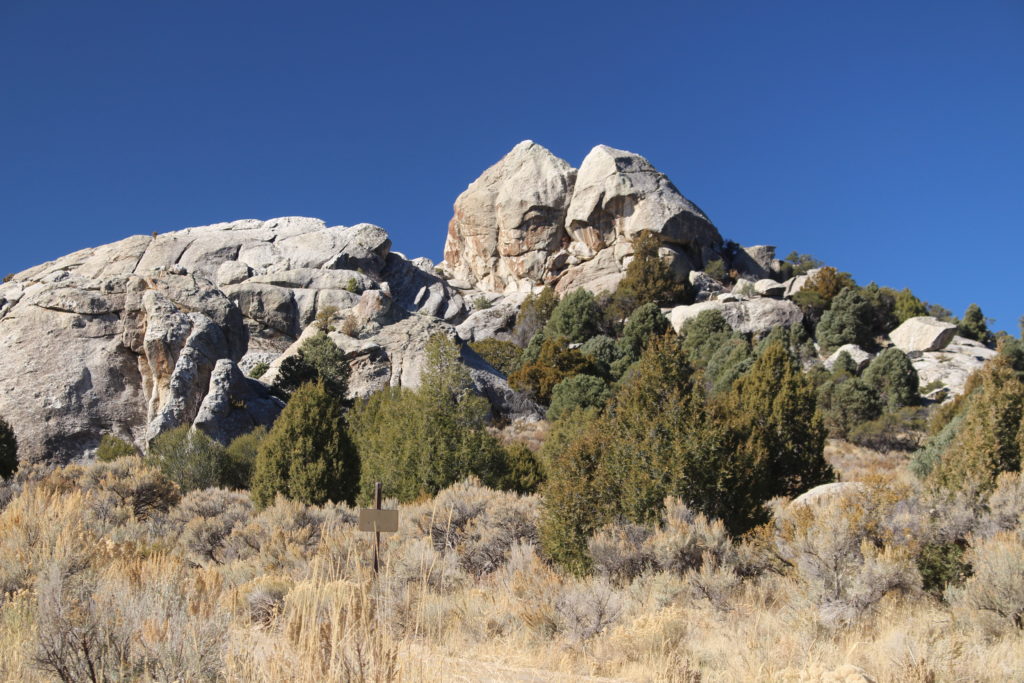
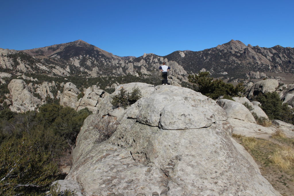
Once you enter the valley, the granite formations are impressive. City of Rocks is a favorite spot for technical rock climbing. The granite boulders rise abruptly into the air and when we went through we saw lots of climbers on the different formations. In fact, all the people we saw in the park were climbers. They enjoy coming for the weekend and getting as many climbs in as they can. Park elevations range from 5,720 feet to 8,867 feet.
We parked the truck and walked around and through several different named formations. Tom loves to scramble over rocks and you can do a lot of scrambling at City of Rocks. There are a few places where you can climb up a gradual rock slope that ends with an abrupt drop into the valley. Every time we came to one of these drops we went back the way we came. The views impressed us and seemed to be one boulder after another. The California Trail borders the southern section of the park, but I could imagine the emigrants hiking among the giant rock formations and being amazed.
After driving through the park, Tom and I decided to take County Road 150 back to I-84 instead of going back the way we came. Although it was a dirt road, we thought it would be preferable to the washboard we already drove. We were wrong. The county road was so bad we couldn’t drive more than 10 miles per hour. It was 11 miles back to ID 27, pavement and the closest town. So we took our time and enjoyed the scenery. Well, I enjoyed the scenery and Tom paid attention to the road. All the land around City of Rocks is Bureau of Land Management, so the area is undeveloped except for this one road.
We enjoyed our visit to City of Rocks. The boulder formations were amazing! The driving took longer than expected and the closed Visitors Center was a disappointment. Another good example of the importance of checking the hours of Visitors Centers very closely before you go.