A few years ago Tom and I discovered that almost every state has a place that it calls “the grand canyon of . . .” If you have been to Hawaii, the grand canyon of Hawaii is one of the main tourist attractions. And if you like state parks, you might have been to Little Grand Canyon in Illinois. Tom and I decided that we would try to visit all of these “grand canyons.”
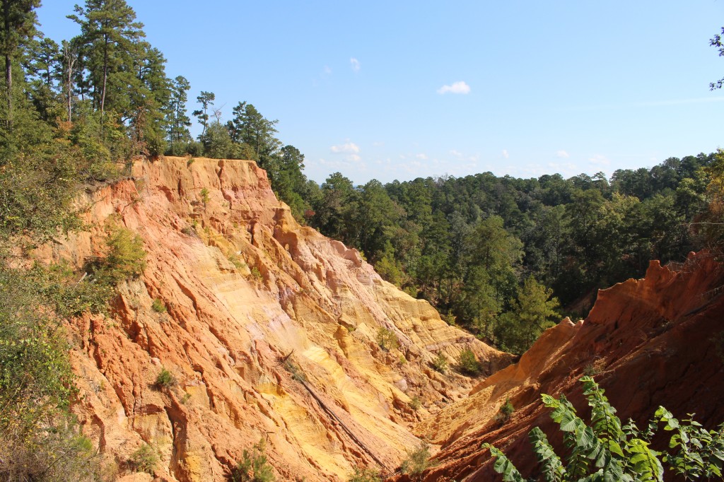
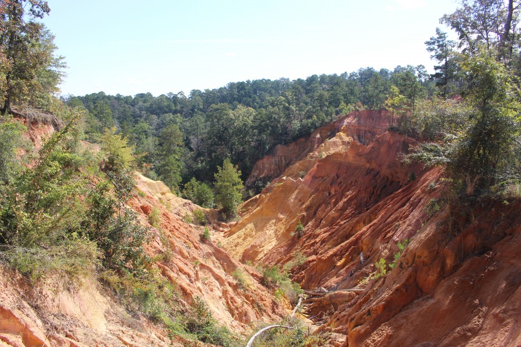
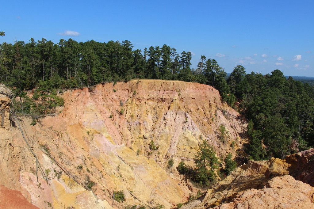
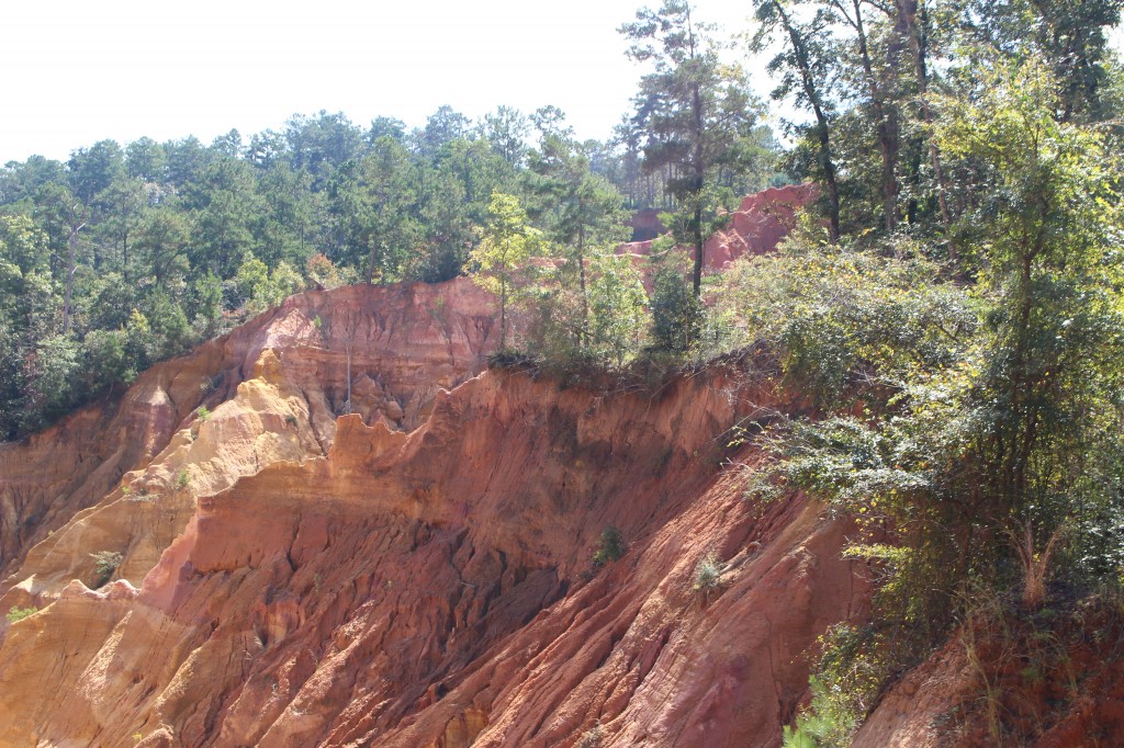
We have now been to Red Bluff, the “grand canyon of Mississippi.” Red Bluff is an area of intense erosion in the Pearl River basin just north of Columbia, Mississippi. It isn’t labeled on a map – it is privately owned land – but a lot of people have talked about it on the internet, and it has it’s own Facebook page. Even Wikipedia talks about Red Bluff as the “grand canyon of Mississippi.”
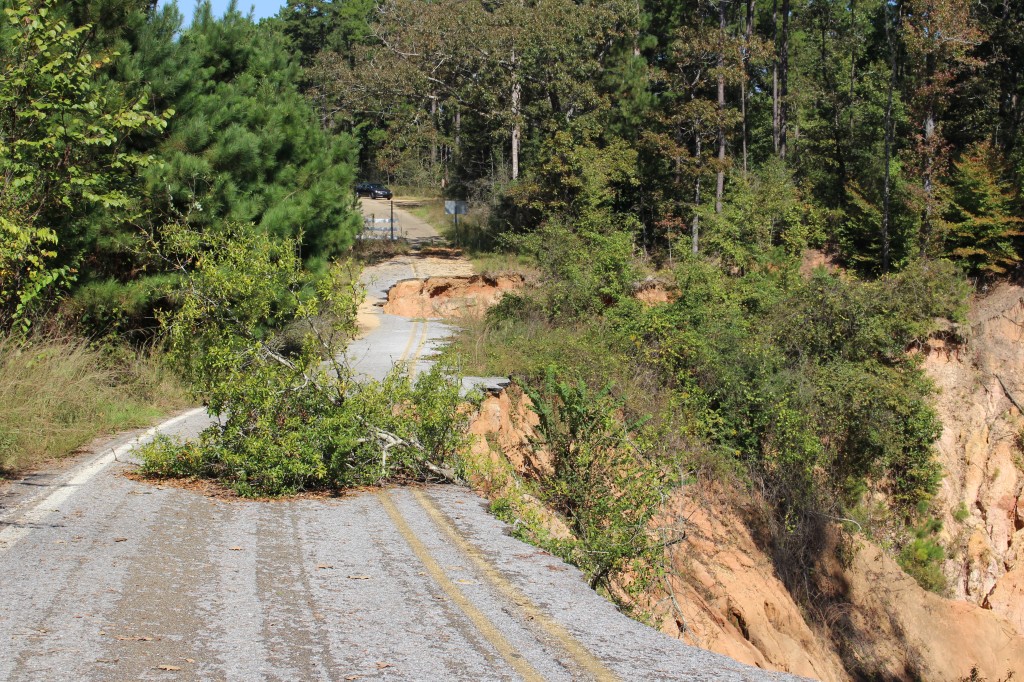
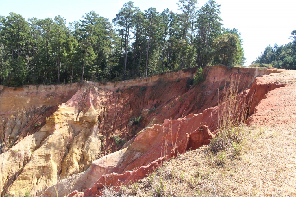
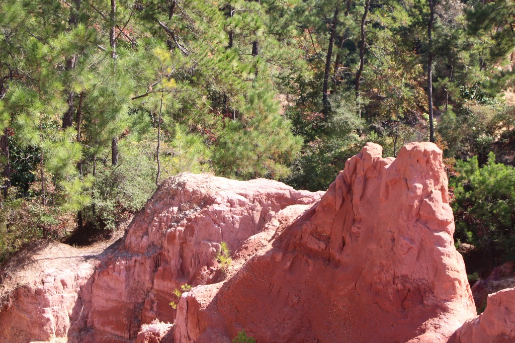
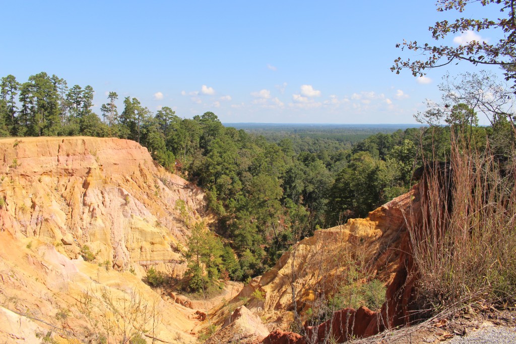
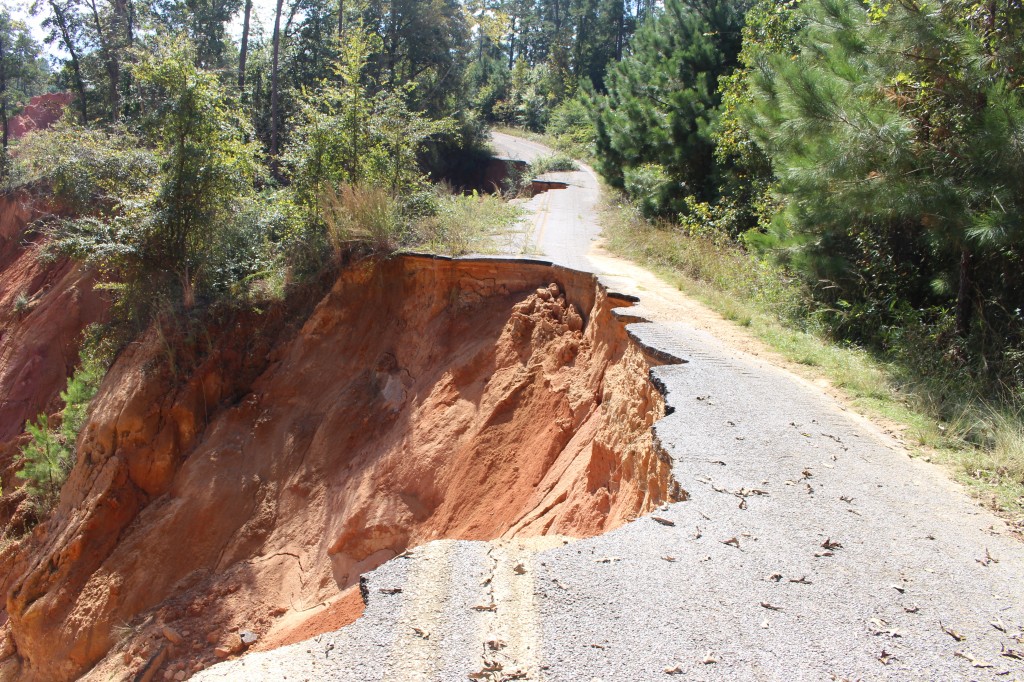
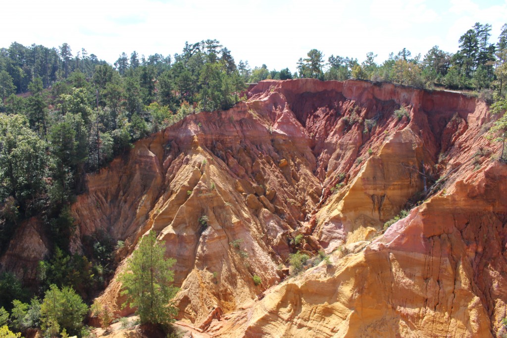
Red Bluff is a geological formation created by the natural erosion of the west bank of the Pearl River. The bluff is an exposure of red clay, brown soil, yellow and tan sand, and other colorful sediments. The canyon is 200 feet deep and is eroding every time rain falls into a creek that feeds into the Pearl River. Mississippi Highway 587 used to run along the canyon, but erosion forced the highway to be rerouted. The road going to Red Bluff was permanently closed in June 2014.
The best way to reach Red Bluff is to take US 98 west out of Columbia, over the Pearl River, and then MS 587 north through Morgantown. Just north of Morgantown is a barricade with “Road Closed: No Trespassing” sign. If you take the next road right (just north of the barricade) you can drive to another barricade and an “parking area.” Again, this is private land and there are “no trespassing” signs. The day we visited, however, there were six other cars and people hiking around and into the canyon. Erosion makes hiking on the rim or into the canyon dangerous, so I cannot recommend that you go. But Red Bluff is beautiful and unusual and does resemble the Grand Canyon.
Red Bluff: The Grand Canyon of Mississippi. One down – 49 to go!

2 comments