Tom and I have taken a week to explore southeastern Utah, specifically the area around the San Rafael Swell. Southern Utah is filled with national parks (Zion, Bryce, Arches, Canyonlands, and Capitol Reef), national monuments, Bureau of Land Management (BLM) lands and state parks (Goblin Valley and Dead Horse). The geography is extremely varied and changes from valley to valley. In today’s post I am going to concentrate on the BLM land in the San Rafael Swell.
The San Rafael Swell is a very large anticline (a fold in which each half of the fold dips away from the crest) located in the center of Utah, mostly in Emery County (click here for a very good brochure on the area). I-70 cuts through the center of the Swell. The town of Green River sits along the east side and the town of Castle Dale (the county seat) on the west side of the Swell. In between the Swell extends 70 miles north to south and 40 miles east to west and forms a large kidney shaped fold in the Earth.
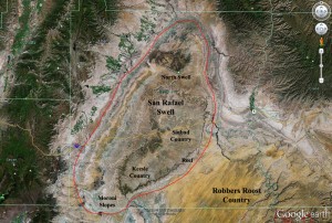
The geology of this area is unique. By taking a look at the Swell on Google Earth (see right) you can see huge rings of different colors wrapping around the center of the Swell. A good way to imagine how the swell formed is to think of a thick, flat circle of silly putty with 10 different layers each having a different color. The colored layers represent different rock layers found within the Earth. Now imagine a spherical object pushing up from below and “bulging” the rock layers in the center while the top of the bulge continually gets cut off (to simulate erosion). The layers originally at the bottom are exposed in the center of the bulge and the remaining layers all dip outward and are exposed in order away from the bulge.
Because the San Rafael Swell is located almost entirely on BLM land, it is open to the public with few restrictions. There is no fee to enter, and you can hike, bike, camp, or drive all-terrain vehicles just about anywhere you want to go. Emery County is promoting the San Rafael Swell as the fastest-growing tourist destination in Utah. Although many of the roads in the Swell are dirt, most are suitable for passenger cars (or our truck).
While we have been driving the roads of the Swell, here are a few things we have seen and explored:
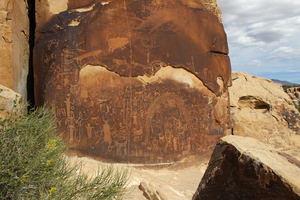
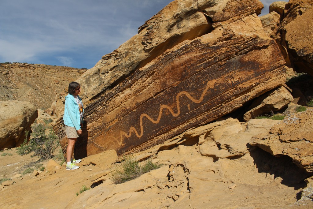
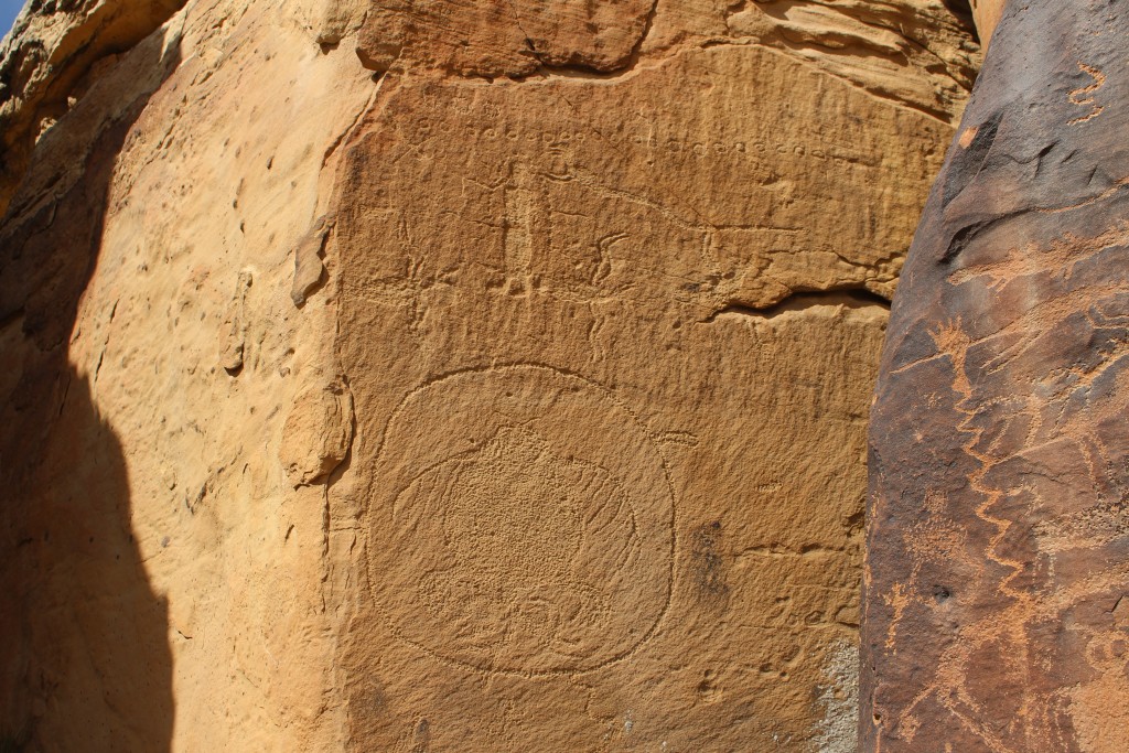
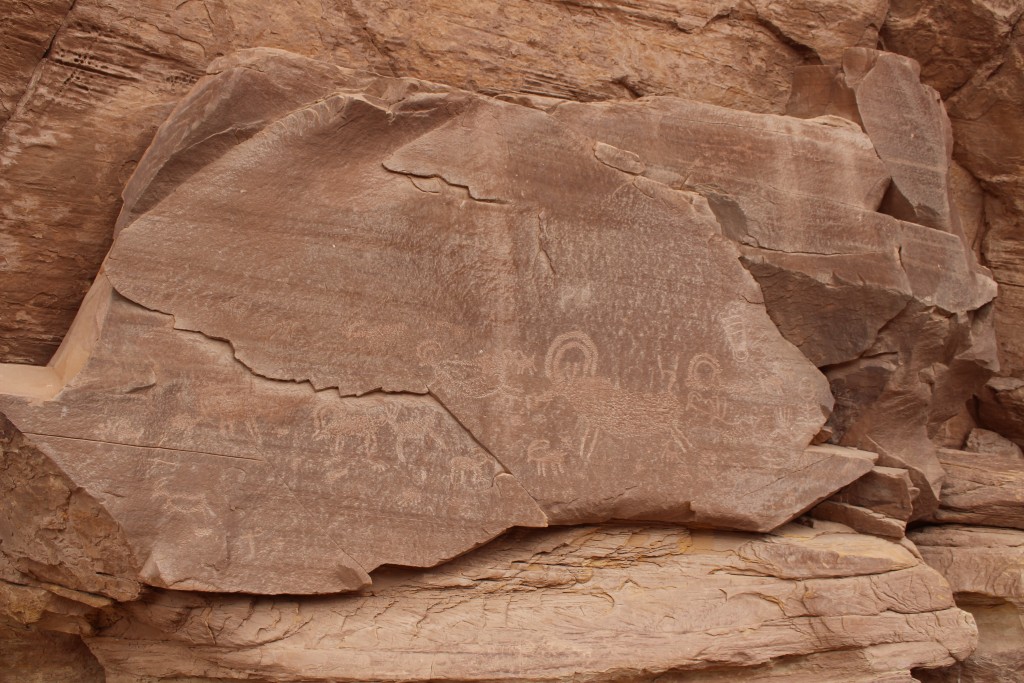
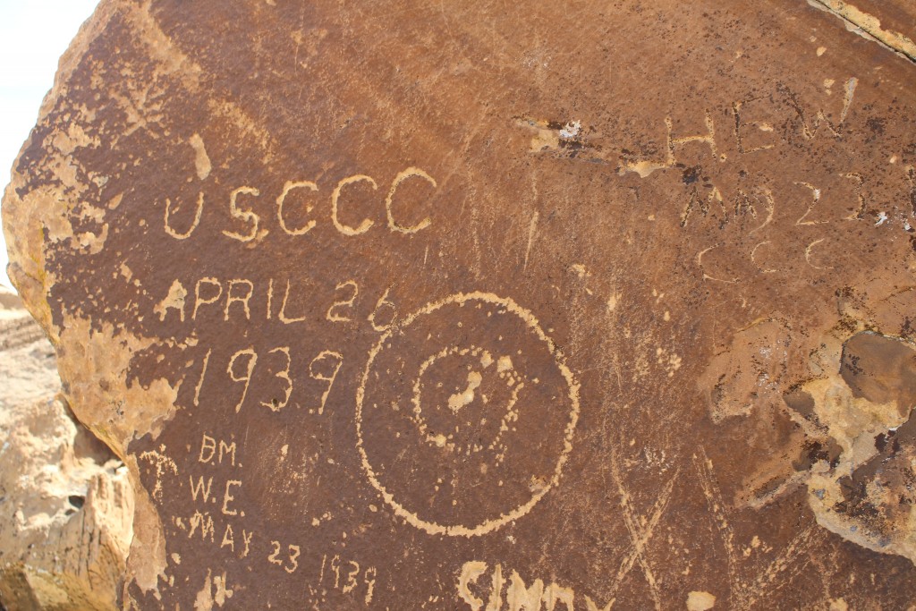
Petroglyphs: There are lots of them in the San Rafael Swell, dispersed throughout the region. The biggest concentration is at the Rochester Creek Rock Art Panel, which requires a short hike along a rock fin. Many of the petroglyphs can be seen beside the roads that wind throughout the Swell. Most of the petroglyphs were made by the Fremont Culture and are a thousand years old, but some are more recent, such as the CCC petroglyph from 1939.
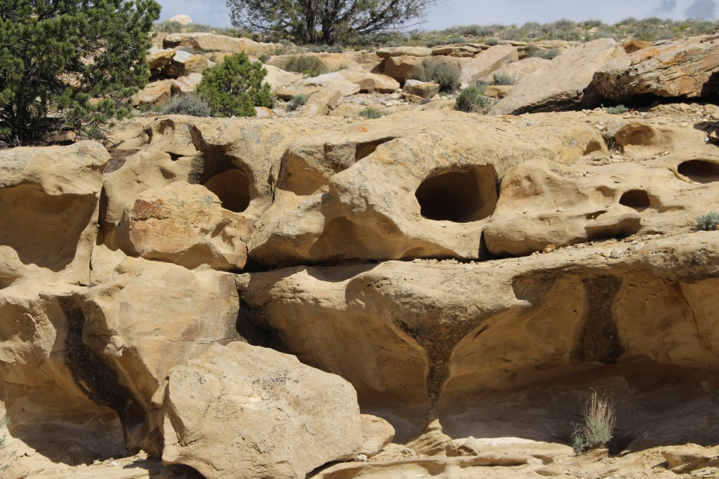
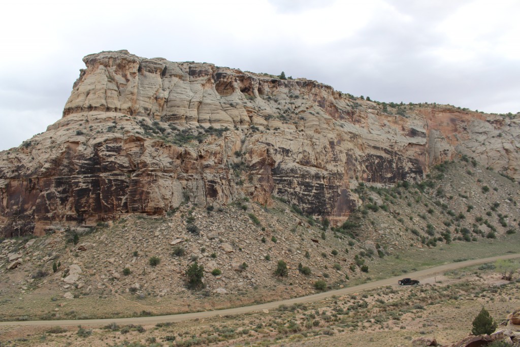
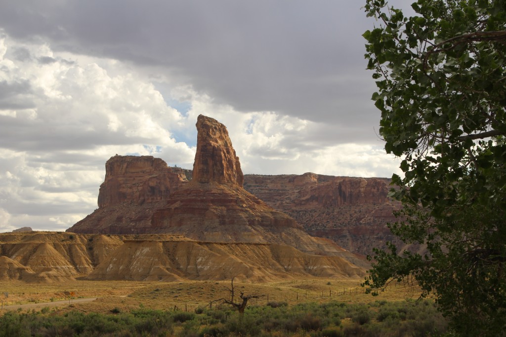
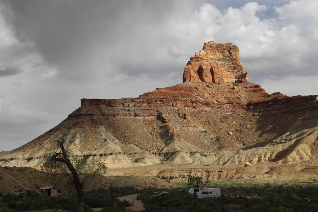
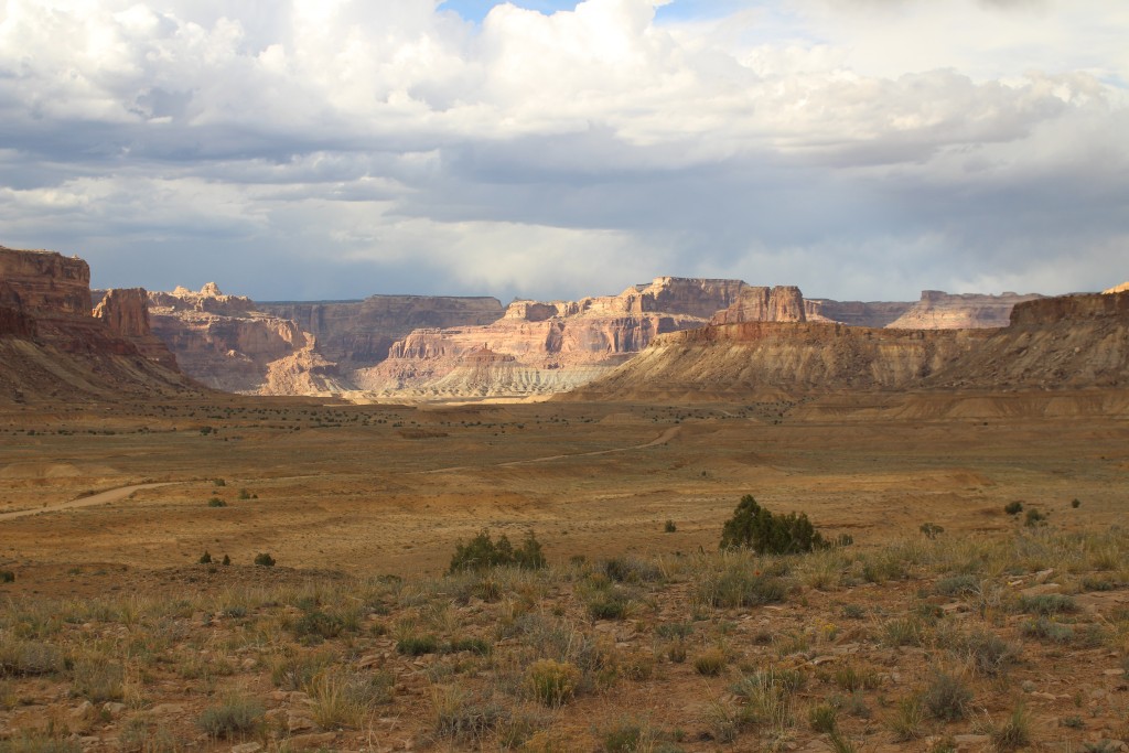
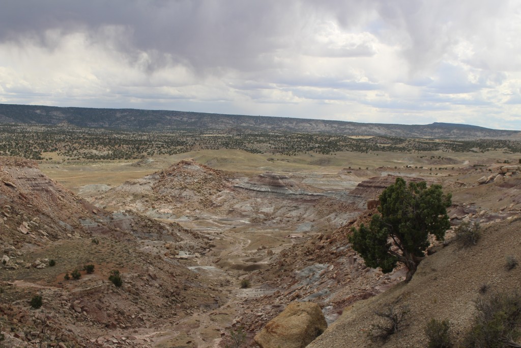
Fantastic rock formations: the colors and the kinds of rock change from one road to the next. Sandstone, limestone, conglomerate, granite, volcanic rocks erode and climb into imaginative shapes and forms.
Cleveland-Lloyd Dinosaur Quarry National Natural Landmark:
Over 10,000 bones have been excavated from one small pit. There are bones from more than 70 different Jurassic species dinosaurs. The Quarry is in an area of the Swell so remote that we were the only people on the road and the only people at the Quarry during the two hours that we hiked and toured the museum. I think the BLM employee at the desk was glad to see us!
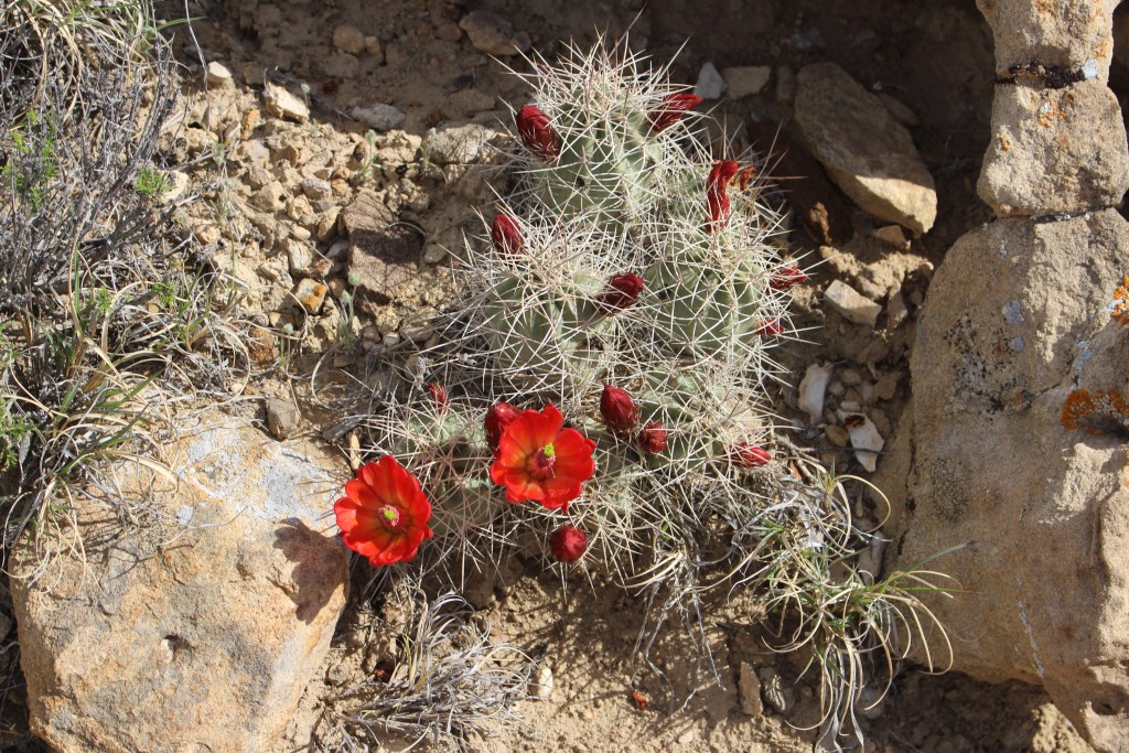
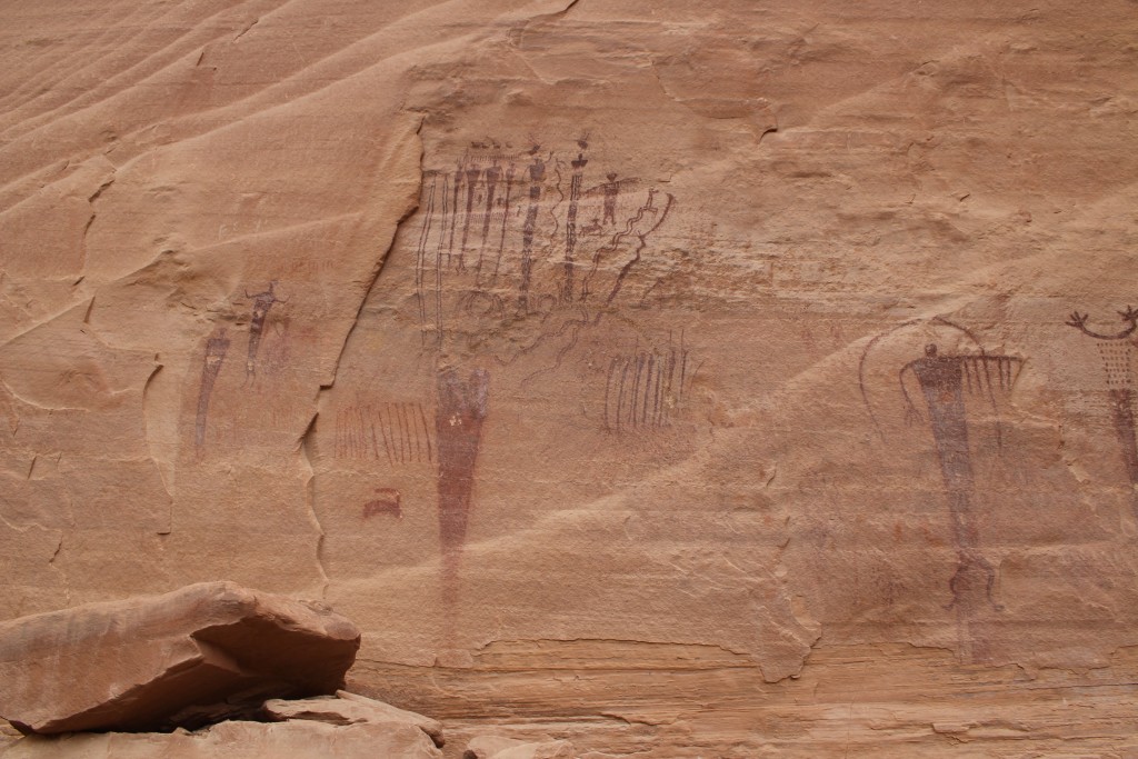
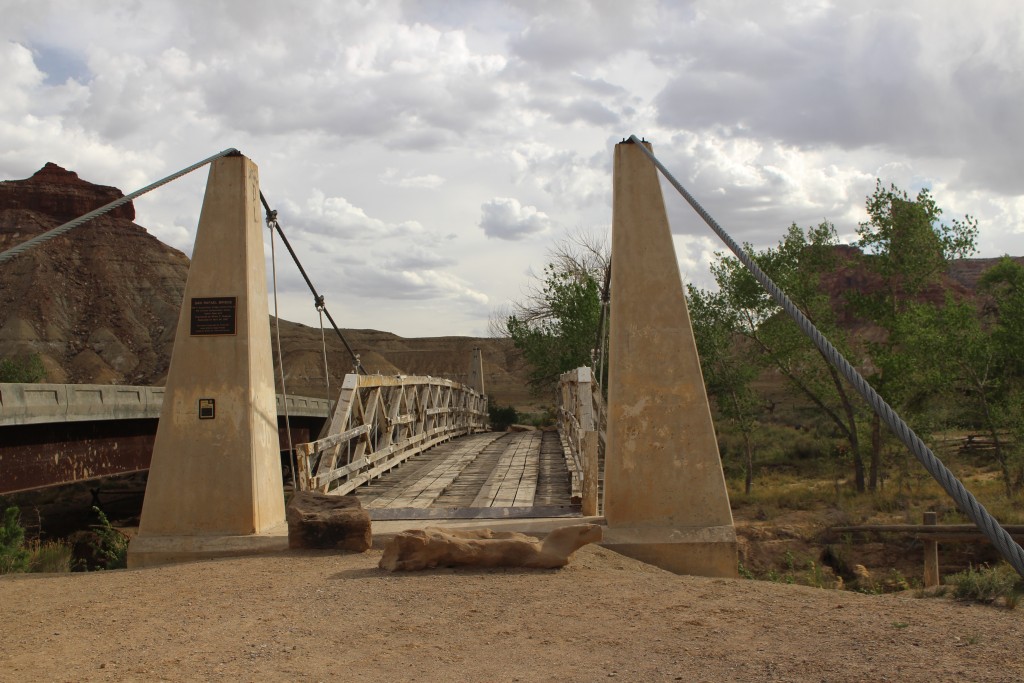
Lots of other stuff: The Museum of the San Rafael had some nice dioramas but lacked a good explanation of the Swell. There were beautiful wildflowers everywhere, including fields of orange globemallow. The Buckhorn Wash pictographs were right along the Buckhorn Wash Road, and were painted by natives of the Barrier Canyon Culture over 2,000 years ago. A bridge over the San Rafael River built by the Civilian Conservation Corps in 1938 was the only bridge over the river until 1995.
The San Rafael Swell is fascinating, from the unique geology to the diverse ways people make a living in this remote area today. Tourism is on the rise, but we were still some of the few people in the different areas on the days we explored. The trails were uncrowded and we never had a problem finding a parking place at the trailheads. Compared to the nearby national parks, the San Rafael Swell is perfect for explorers who like less-traveled roads.

We went on our last whole family vacation in 1998, after John’s junior year. My sister and brother-in-law planned it as they lived in Ogden, Utah then.
We started at Zion NP. It seemed to that the sacredness emanated from the earth there.
Then on to Hoover Dam and camping at Tuttle Creek near Las Vegas. Southern Rim of the Grand Canyon, petrified forest, Lake Powell, and an exciting byway from Kenab, UT, up a road the goes through a dry wash to Kodachrome State Park Campground. John took the hike on a trail that zigged-zagged across the rock face, up to the top, above the campground.
We drove through Bryce Canyon, then up Devil’s Backbone in Grand Staircase-Escalante to Dixie Natl Forest. It snowed on us that night. Then back to Ogden. It was a memorable vacation.
This is amazing country. I think we could spend years here and never see it all!