Grand Staircase Escalante is a National Monument administered by the Bureau of Land Management (BLM). I don’t know why some National Monuments are administered by the BLM and why some are administered by the National Park Service. As far as I can tell, they are all pretty amazing!
Grand Staircase Escalante comprises most of the land in the part of Utah just north of us. It was designated a National Monument in 1996, setting aside almost 2 million acres for hiking, fishing, off-road vehicles (ORV), and other kinds of recreation. This past December, President Trump cut the size of the monument in half in order to allow mining and drilling. Right now several conservation groups are challenging this decision in court. Although the President can set aside National Monuments, President Trump is the first one to ever try to take one away.
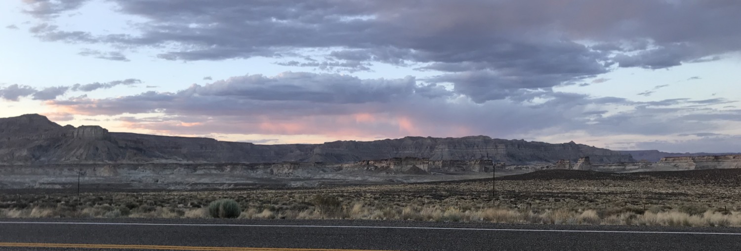
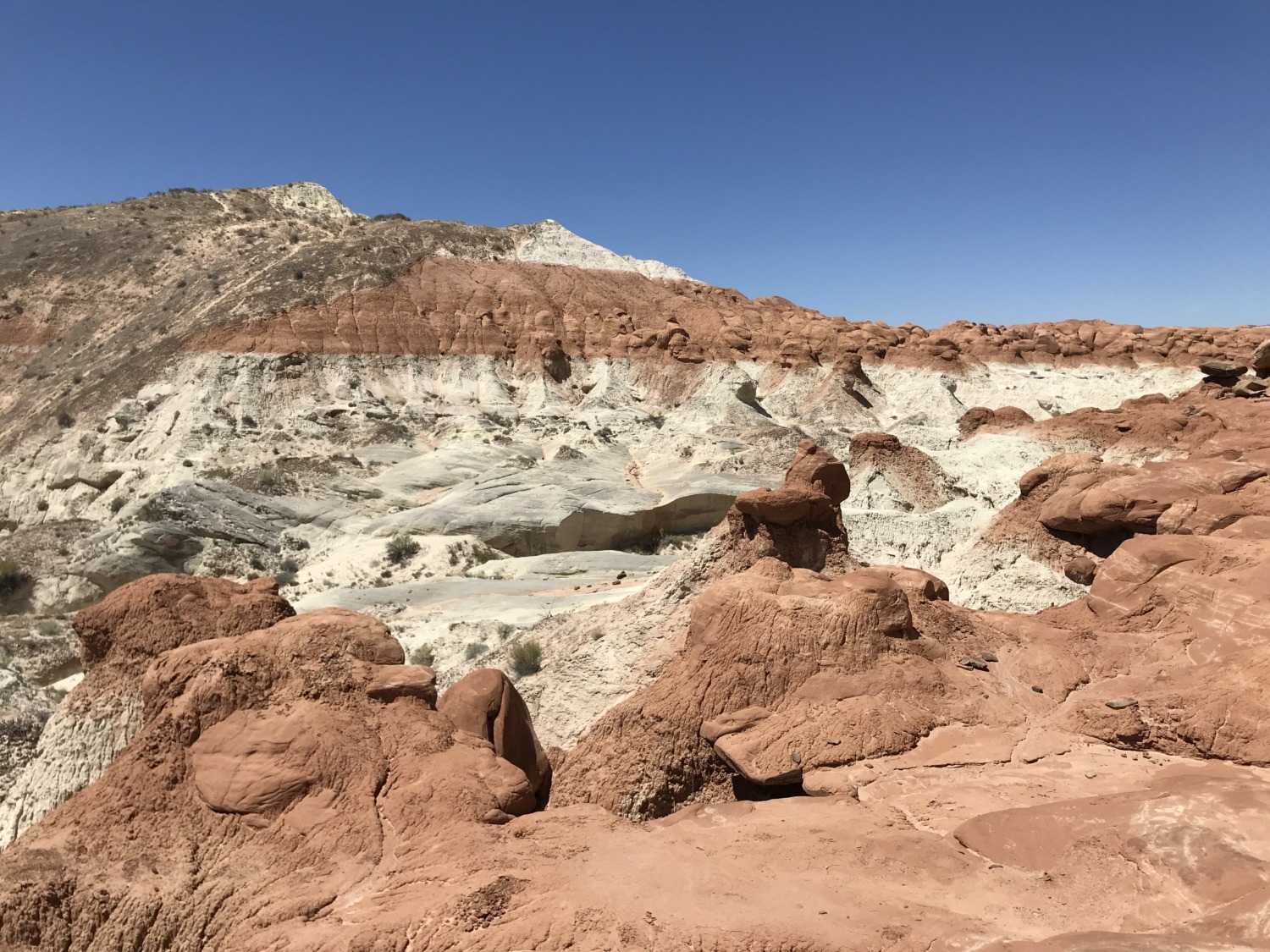
 The area encompassed by Grand Staircase Escalante is beautiful, remote, and severe. This was the last land mapped in the contiguous United States. There are very few paved roads through the monument, although there are plenty of hiking trails, dirt roads, and ORV trails. You can see a map of the monument here.
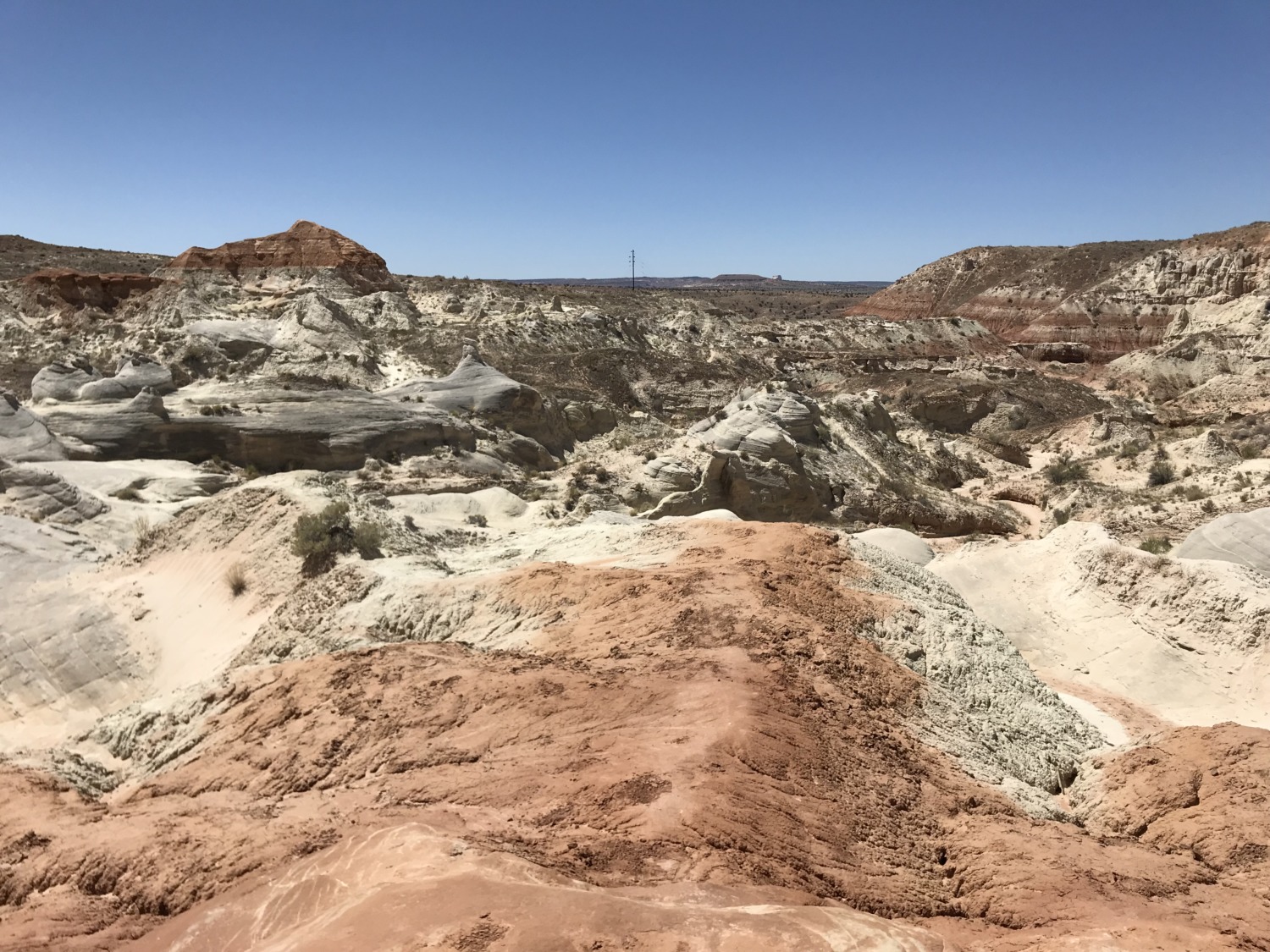
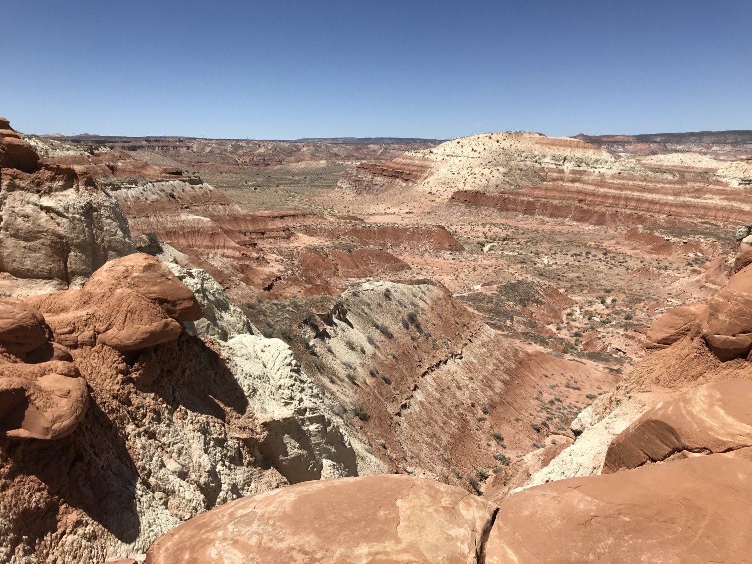
Because it is so large, the monument is divided into three areas. The western part of the monument is dominated by the Paunsaugunt Plateau and the Paria River, and is adjacent to Bryce Canyon National Park. This section shows the geologic progression of the Grand Staircase. Features include the slot canyons of Bull Valley Gorge, Willis Creek, and Lick Wash accessed from Skutumpah Road.
 The center section is dominated by a single long ridge, called Kaiparowits Plateau from the west, and called Fifty-Mile Mountain when viewed from the east. Fifty-Mile Mountain stretches southeast from the town of Escalante to the Colorado River in Glen Canyon. The eastern face of the mountain is a 2,200 ft (670 m) escarpment. The western side (the Kaiparowits Plateau) is a shallow slope descending to the south and west.
East of Fifty-Mile Mountain are the Canyons of the Escalante. This area is bounded by Glen Canyon National Recreation Area on the east and south. The popular hiking, backpacking and canyoneering areas include Peekaboo, Spooky and Brimstone Slot Canyons, and the backpacking areas of lower Coyote Gulch and Harris Wash. The Devil’s Garden is also located in this area. Access is via the Hole-in-the-Rock Road which extends southeast from the town of Escalante, along the base of Fifty-Mile Mountain.
 Grand Staircase Escalante National Monument is very remote and there are few services. Kanab is the closest “city” to the west, Escalante to the north, and Page to the east. But all of these are miles away from the slot canyons and trails. So far Tom and I have mostly been driving through the areas with paved roads. More exploration will wait until we rent a jeep. This would not be a good place to be stuck!
I will be writing more about the monument as we explore and hike. I wanted to start with an overview so you can place the hikes we take within the monument.