
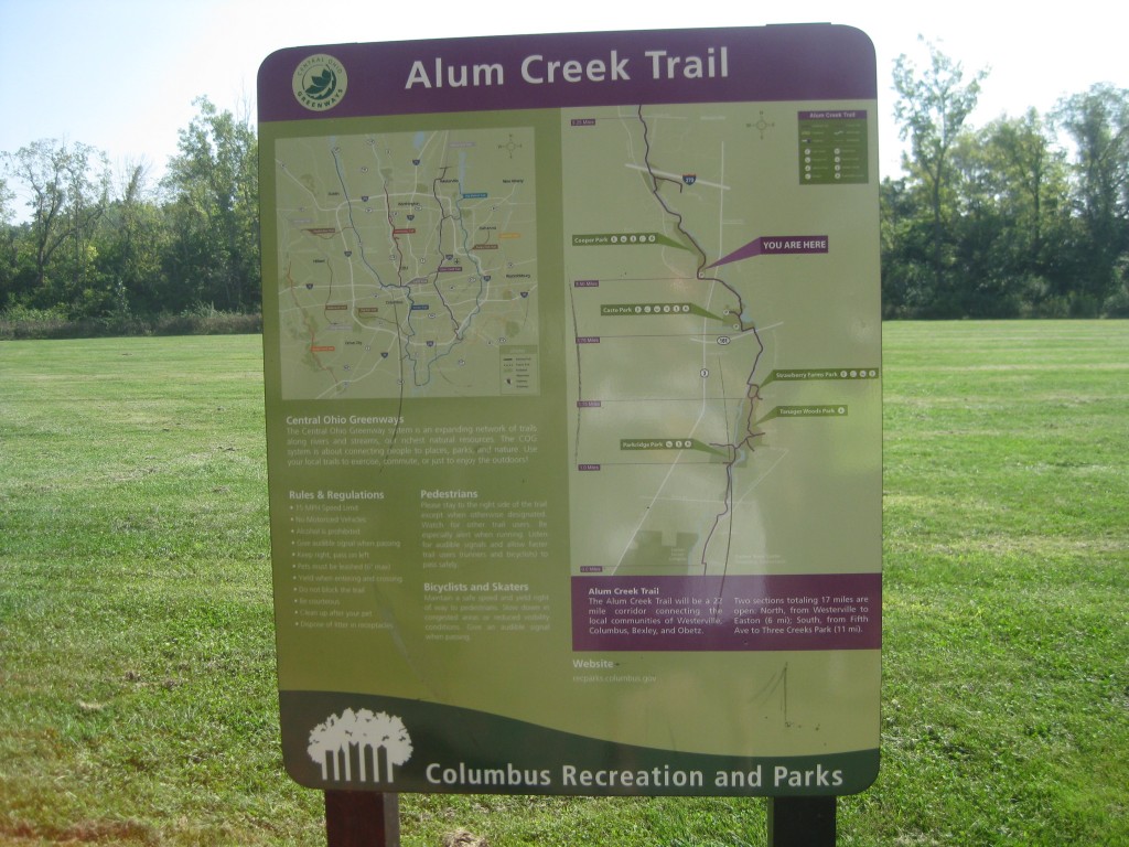
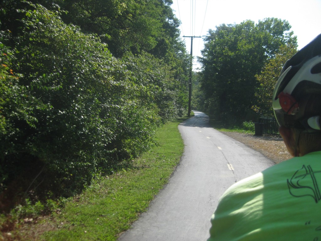
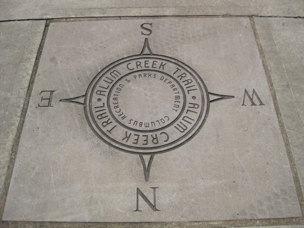
Tom and I are back in Delaware and so we took some time to ride the Alum Creek Trail on Thursday and Friday. We rode the north section on Thursday and the south section on Friday. There is also a central section, but it is bookended by two unfinished bridges so we skipped that. The trail is a Greenway, not our usual rail-trail, so it had some up and down and some curves that Tom really enjoyed. All of it is paved with asphalt. Most of it is part of the Erie to Ohio Trail that will someday go continuously from Lake Erie in Cleveland to the Ohio River in Cincinnati.
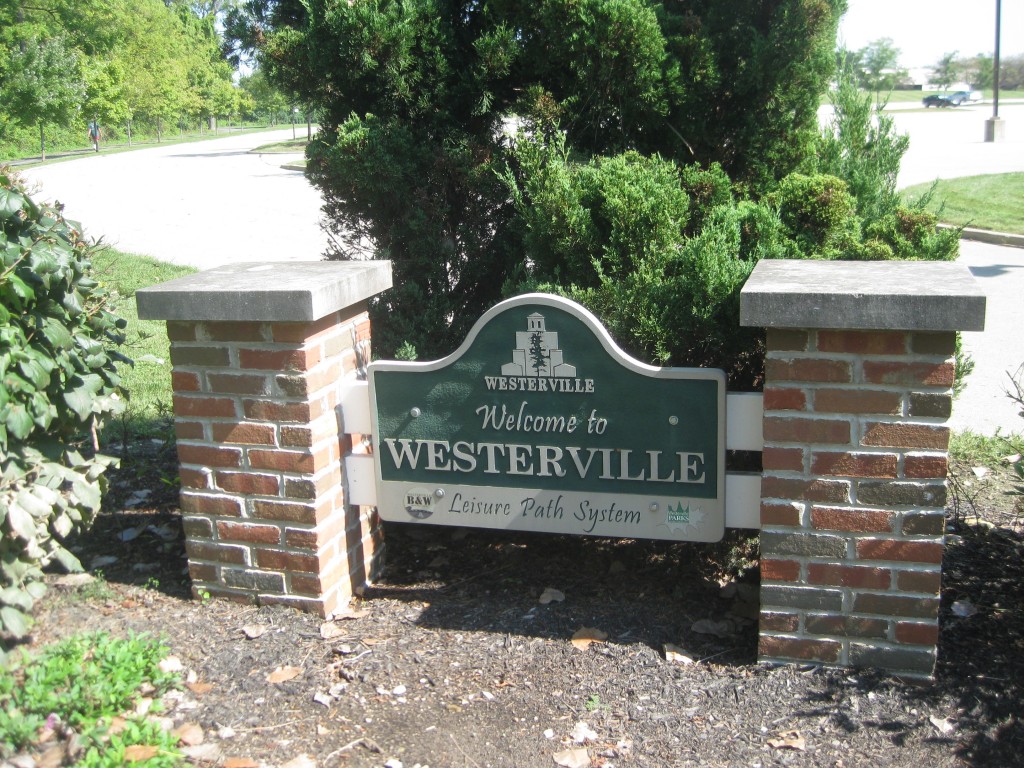
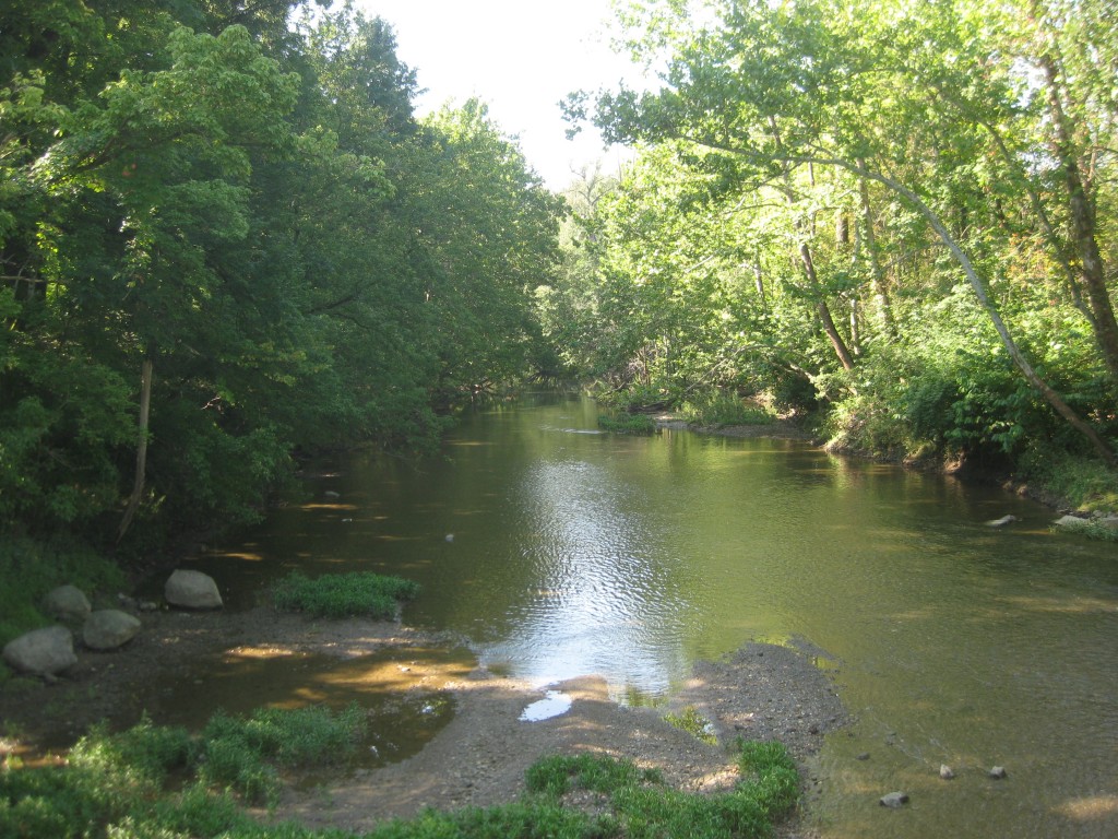
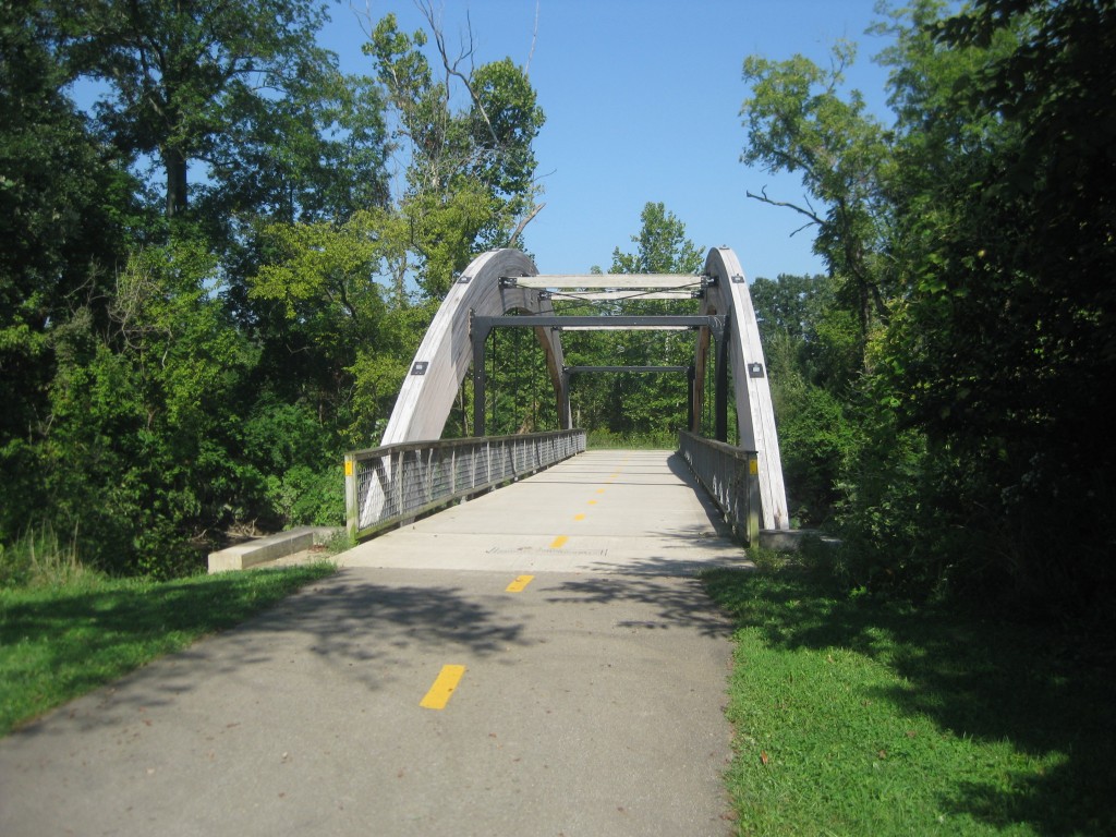
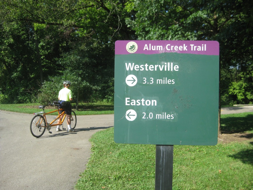
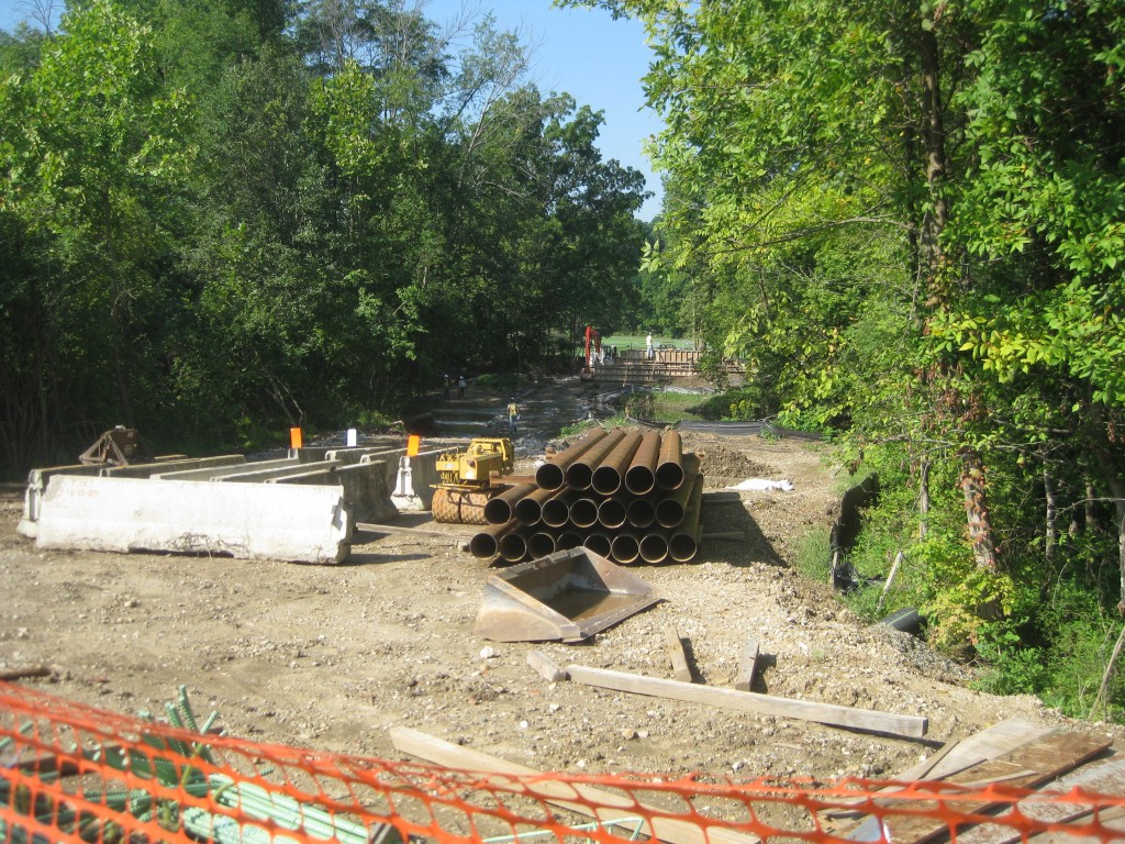
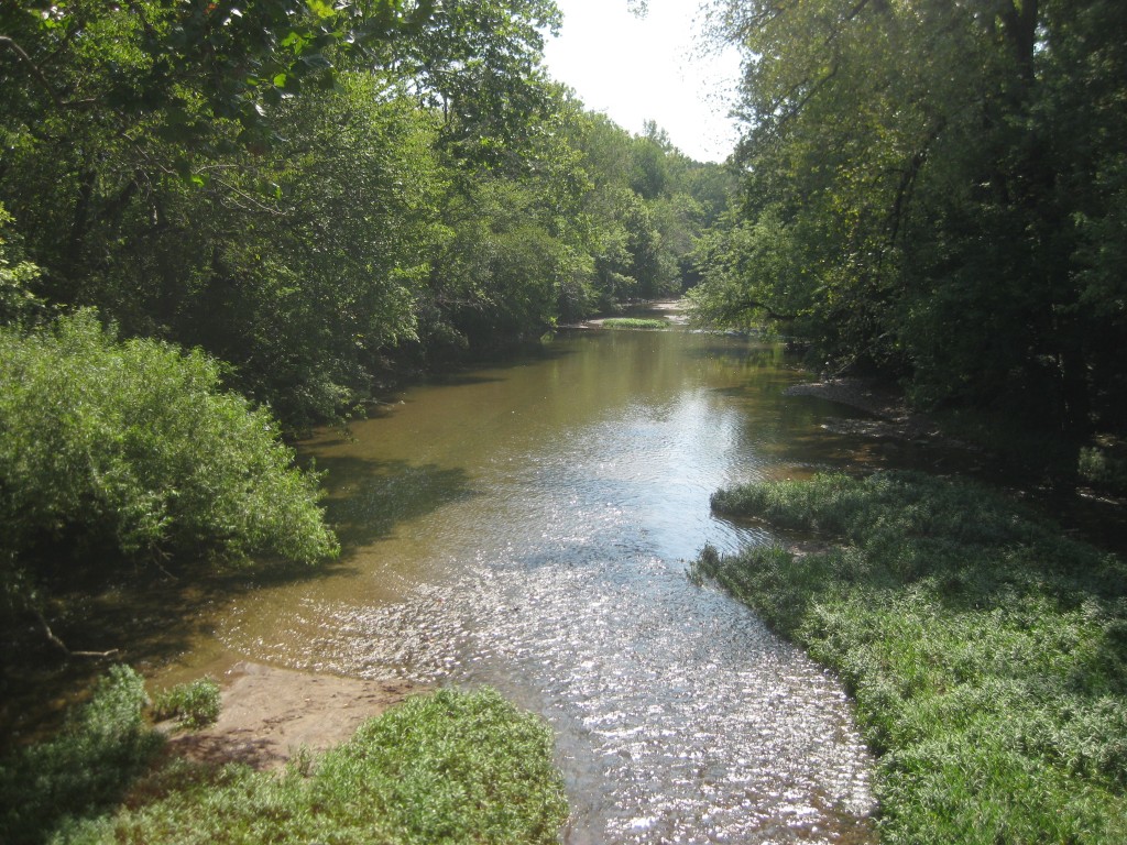
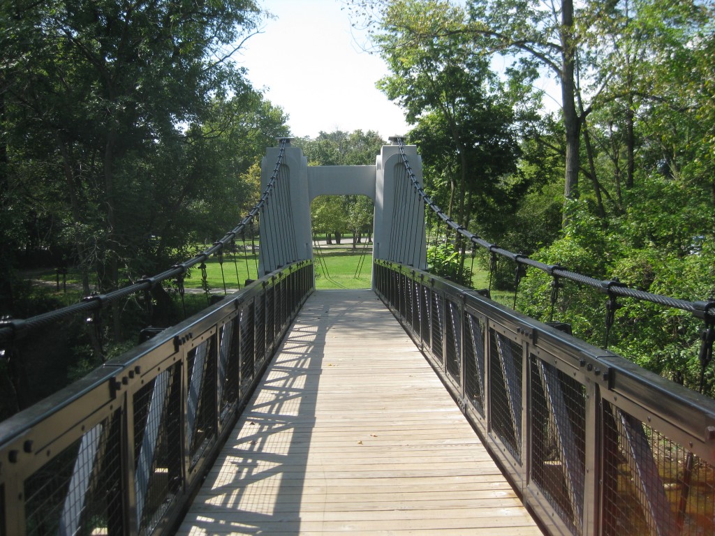
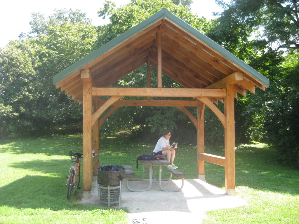
The north section of the Alum Creek Trail runs from Schrock Rd in Westerville to the Easton Soccer Park by Easton Shopping Center. It is a lovely, mostly wooded trail that runs along Alum Creek through the Columbus Metro Parks. It goes through Cooper Park, Casto Park, around Strawberry Farms Park, then through Tanager Woods Park and Parkridge Park. The end at Easton is very clear – a construction area where they are building another bridge over Alum Creek. We really enjoyed the bridges on the trail – an old railroad trestle, and several arch bridges. The trail had a few bumps, but was in pretty good shape. The trail was almost six miles long, so our ride was short – only 14 miles, but good exercise on a hot September morning.
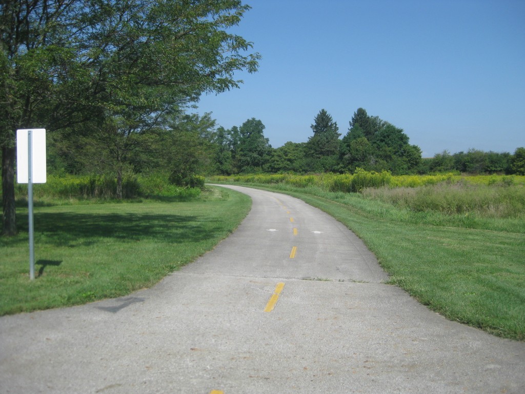
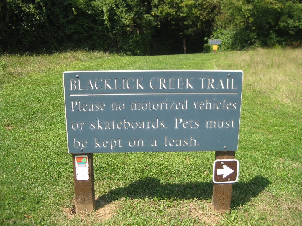
The south section of the Alum Creek Trail runs from just north of 5th Avenue to Three Creeks Park. The map says that it continues south for five miles, but I couldn’t find that section on any of the maps and am not sure what it is called. This section of the trail is also almost six miles. It is older than the north section and portions of it are pretty bumpy, which just makes the ride more interesting. The northern part of the south section is also very urban with some big street crossings, especially at Main Street where it is necessary to walk on the sidewalk to the light and cross there – no crosswalk at the trail. The south section of the trail had some open fields, feeling very rural, and then the more shaded, urban areas. We went through Wolfe Park and Nelson Park and could see the Conservatory at Franklin Park. When we hit mile 0, we turned onto the Black Lick Trail for a little while, but the temperature was 93 with no shade and I was getting to the end of my water. We ended up riding 23 miles.
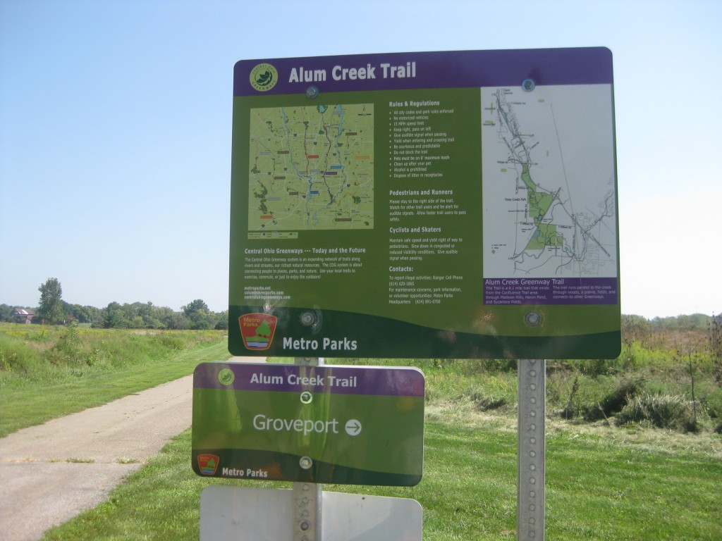
The only ding I have for the Alum Creek Trail is the signage. If you know Columbus and know where you are going, the signs make sense. Otherwise, they can get pretty confusing. There were several times we couldn’t tell if a road was the trail or a connector. And, like I said, we couldn’t find the trail that continued to the south of Three Creeks Park.
We enjoyed our time on the trail and will ride it again when the bridges are finished. It would especially be nice in the fall.