
The last National Park site that Tom and I visited, before heading home to Ohio, was Cumberland Gap National Historical Park. To Native Americans, Cumberland Gap was the passageway to their traditional hunting grounds on the western side of the Appalachian Mountains. To the early pioneers, Cumberland Gap was the gateway to new land and developments in the Ohio Valley.

Cumberland Gap National Historical Park is loaded with history. Dr. Thomas Walker, a surveyor for the Loyal Land Company, was the first Euro-American to to explore, describe, and document the route to the gap. He explored the area in 1750 and described the natural beauty that is still seen today. In 1775, Daniel Boone was commissioned to blaze a road through the gap. Boone’s trace evolved into the Wilderness road. Settlers used this to flood into the Ohio Valley. In 1777 there were only 200 white settlers in Kentucky, which was a county of Virginia. By the time Kentucky was granted statehood, in 1792, more than 200,000 people had crossed through the Cumberland Gap to settle in Kentucky.
During the Civil War, both sides considered Cumberland Gap an area of strategic importance. Confederate General Felix Zollicoffer was the first to hold the gap. After he left, Union forces took over control of the gap for a few months in 1862. Confederate forces returned to control the gap until September of 1863. After the fall of Knoxville, Union forces took over the gap and retained it until the end of the war.
In the 20th century, Cumberland Gap continued to be a major economic artery for the Appalachian region. When Cumberland Gap National Historical Park was authorized by Congress in 1940, US 25E passed through the gap, compromising the historic scene. To restore the landscape, the highway was rerouted through the Cumberland Gap Tunnel. Restoration of the gap was completed in 2002, and today visitors can see it much the way Daniel Boone did in 1775.

Tom and I started our visit to Cumberland Gap in the Visitors Center, after driving through the tunnel. There was a very large parking lot, but on a cloudy Saturday in April there weren’t many visitors. We talked to an intern who highlighted some points to see on the park brochure map. We spent some time in the museum, which gave some background into the different groups of people who passed through the gap, and then watched the two park movies. One of the movies is a short history of the park and the other is about Daniel Boone. I had just finished reading “The Taking of Jemima Boone” and already knew the Daniel Boone part of the story.
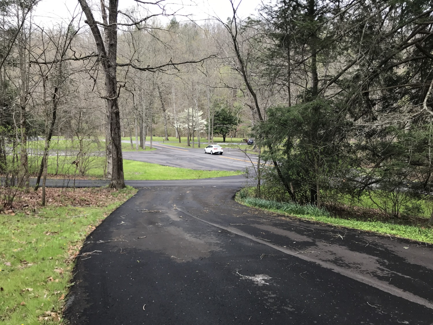
Tom and I were so impressed by what we saw at the Visitors Center that we decided to see if they took RV volunteers. Luckily for us, the Volunteer Coordinator, Ranger Brittony Pique, was on duty that day. We talked to her for quite a while and she was very interested in our volunteering at Cumberland Gap. They haven’t had interpretive, living history volunteers for quite a while. She told us where the RV spot was and invited us to go see it. The RV spot was beautiful, located in a park-like setting with a creek nearby and and a two-mile fitness trail surrounding the area. There was even a good cell signal!
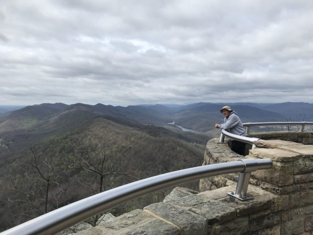
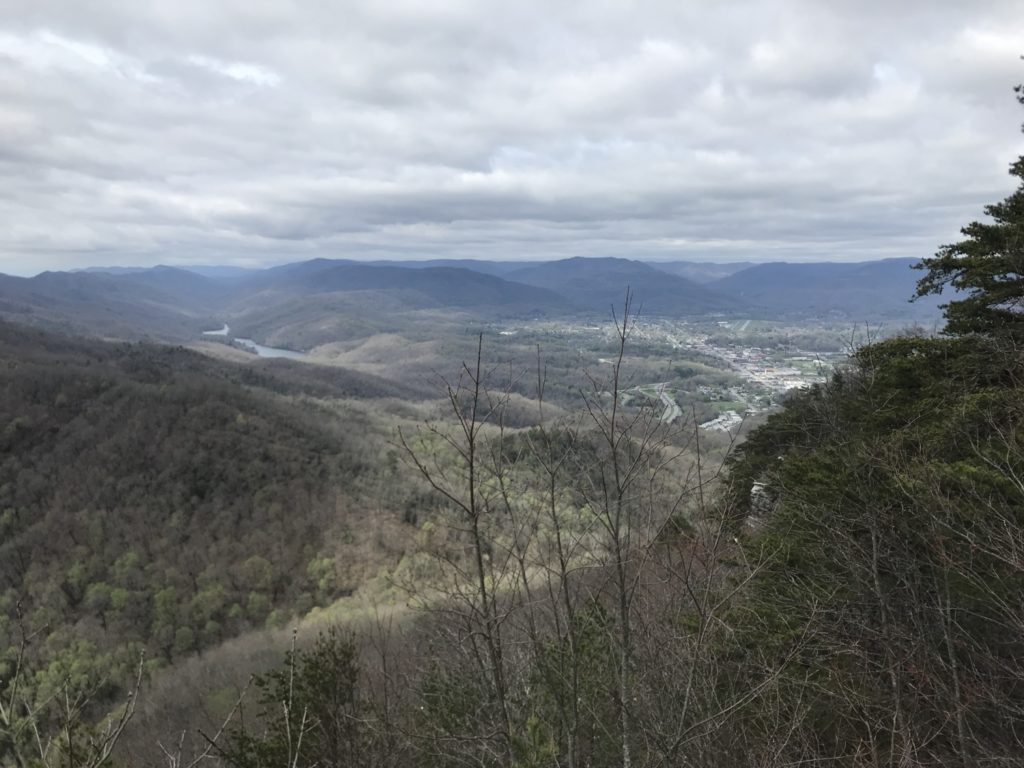
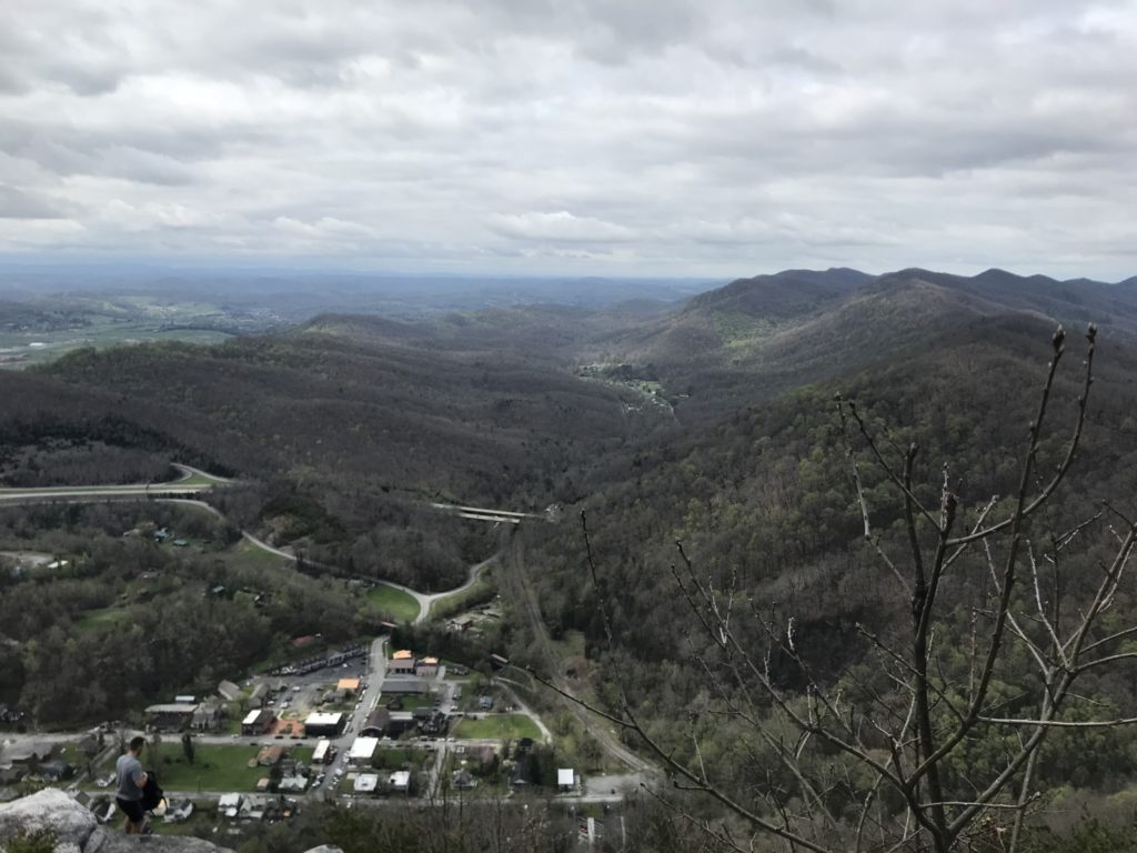
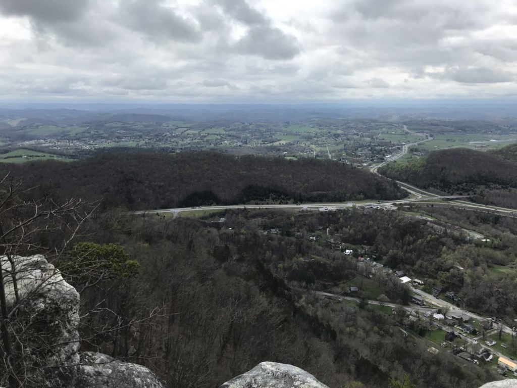
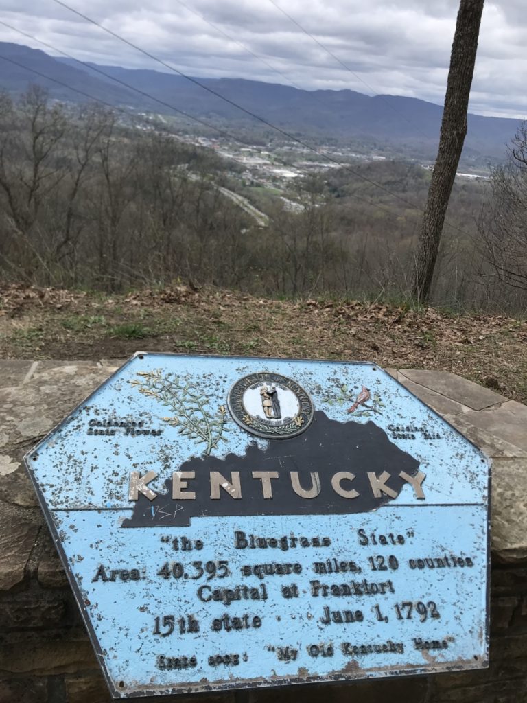
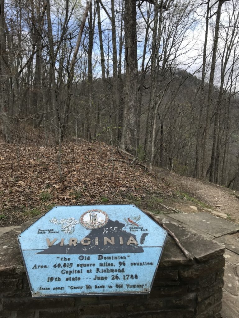
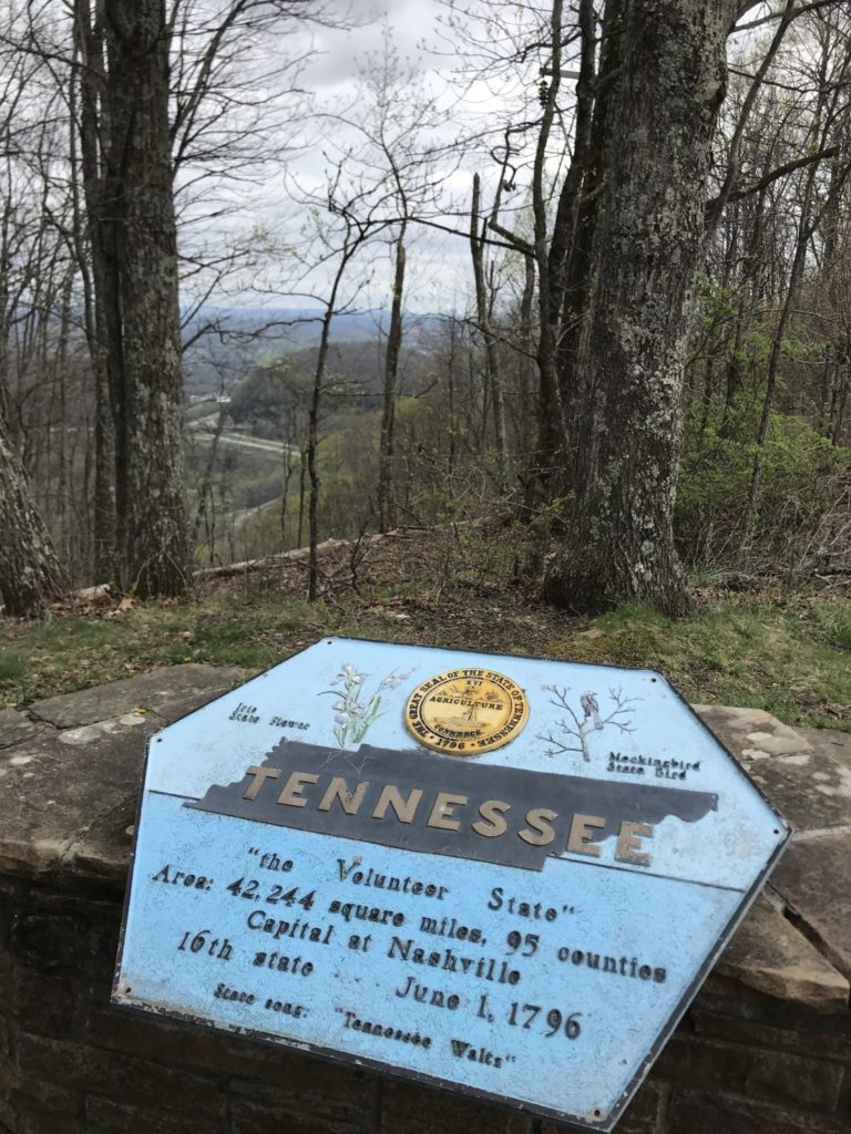
After talking with Ranger Brittony, Tom and I drove up to the Pinnacle Overlook. Even on a cloudy day the view from the top was spectacular. I’m sure it is even better on a clear day. From the Pinnacle, we could see four states: Tennessee, Virginia, Kentucky, and North Carolina. We could also see the towns of Middlesboro, Kentucky and Cumberland Gap and Harrogate, Tennessee. We wandered around the Pinnacle for a little while and read the story of the cannon that kept getting thrown off the mountain and hauled back up again.
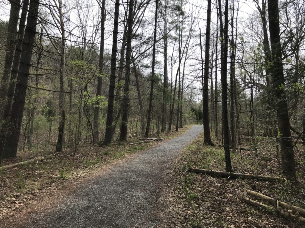
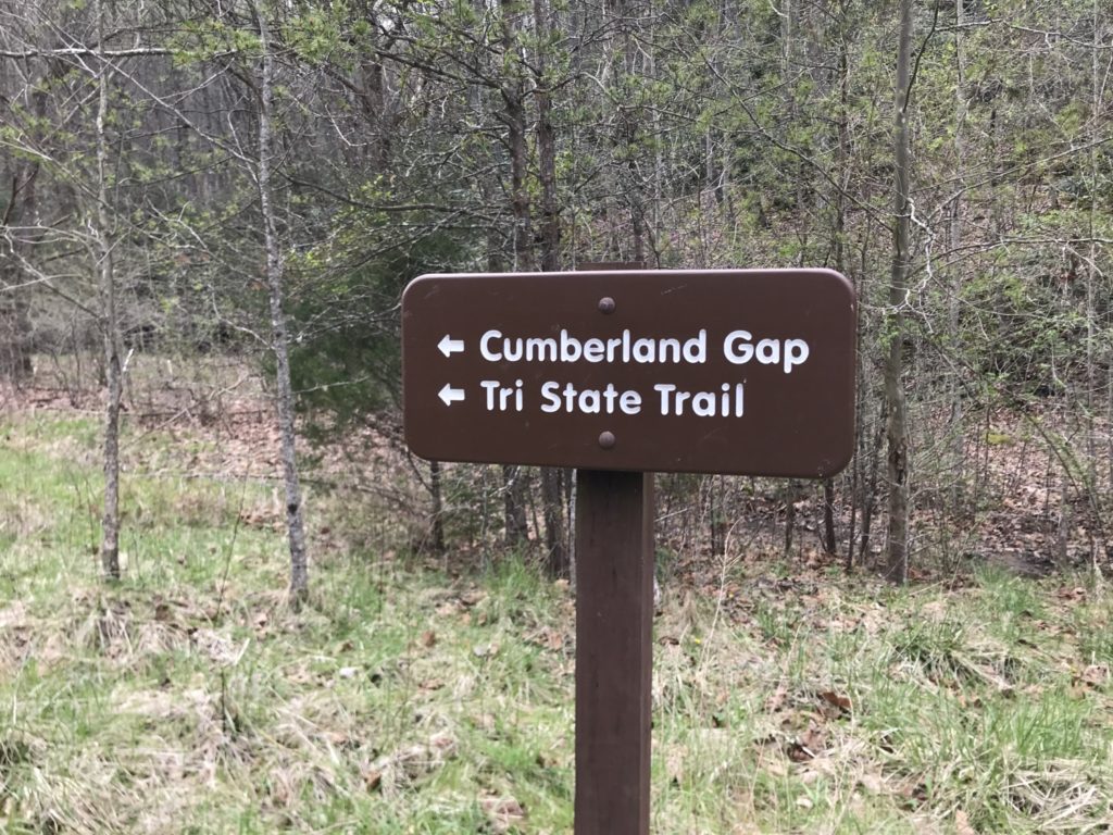
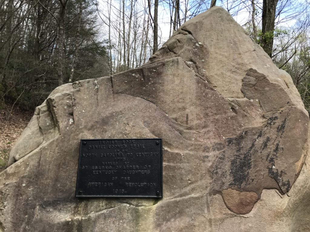
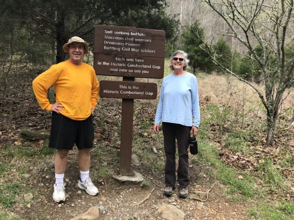
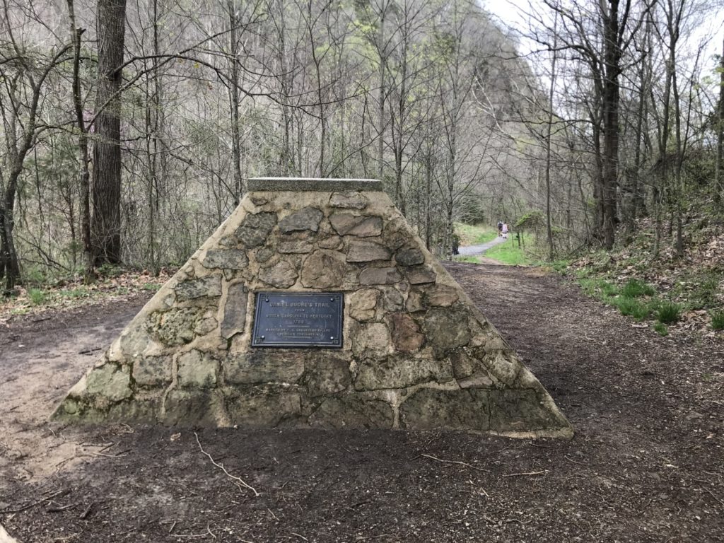
After driving to the Thomas Walker Parking area, we enjoyed a quick picnic lunch and then headed up the Object Lesson Road for a longer hike. Cumberland Gap has over 85 miles of hiking trails, which would be a delight to explore. Object Lesson Road was a road constructed in 1908, when the Federal Government was trying to convince the states to construct modern roads using the latest technology. We saw Indian Rock and passed through the Historic Cumberland Gap.
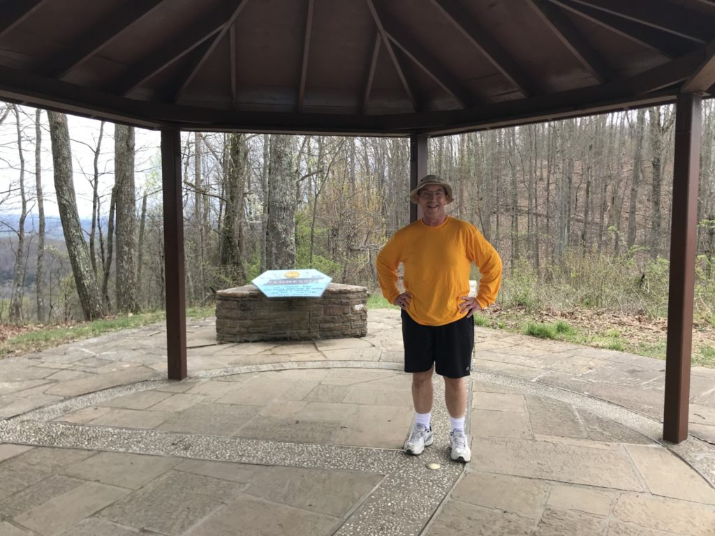
Continuing to climb upward, we reached the Tri-State Peak. The Peak has a gazebo with a rock floor. The floor has the boundaries of the three states that meet in that place: Tennessee, Kentucky, and Virginia. Tom and I each took a turn standing at the intersection of all three. Then we headed back down.
Even though we spent the day in the park, we only scratched the surface of what we could do. We didn’t go to the Iron Furnace of the Daniel Boone Exhibit area. The Hensley settlement is accessible only by a four mile hike. And there is a Gap Cave tour that we would have loved to take. All of these are reasons for us to return.
Tom and I loved our visit to Cumberland Gap National Historic Park and are excited about the possibility of volunteering there in 2023. As soon as we got back to Ohio, we sent our resumes and the completed volunteer form back to Ranger Brittony. Although we are still waiting to hear from her, we are hopeful that the park will invite us to come. The park has so much to offer and so many stories we could tell.