
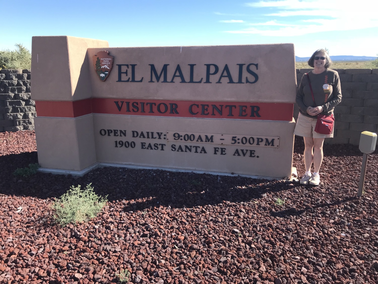
 Just off I-40, west of Albuquerque New Mexico, is El Malpais National Monument. Although Tom and I had seen the signs for the monument many times, we had never stopped until this trip heading east. El Malpais is a beautiful and surprising landscape in New Mexico.
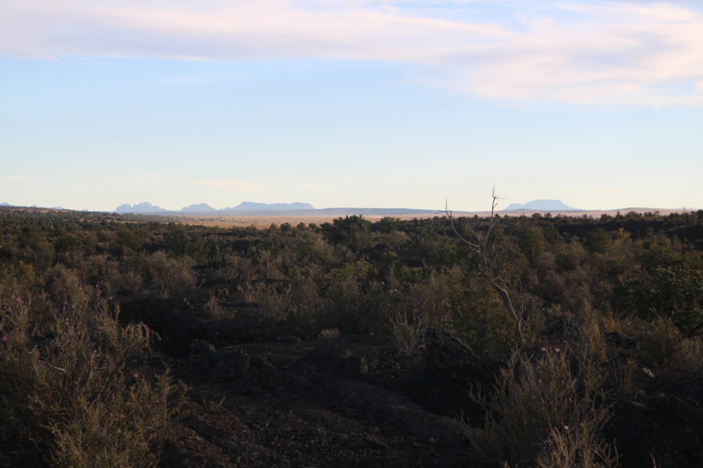
El Malpais National Monument gets its name from the Spanish word for “badlands.” The land here is volcanic, covered with lava and difficult to cross. It is appropriately named. Fifteen volcanic vents form the Zuni-Bandera volcanic field which erupted from 15,000 to 1,000 years ago. These vents form a chain of craters along the south west edge of the monument. The resulting lava flow covers the rest of the monument from the craters to I-40. The lava flow is very interesting because it is so distinct. As you drive along NM 117, you can see the lava five feet higher than the rest of the land just to the west.
El Malpais National Monument has two sections. One section is accessed from NM 117 and the other from NM 53. You cannot cross the lava flow in a car, although there are several hiking trails. From the car, however, you can only drive along the sides of the flow.
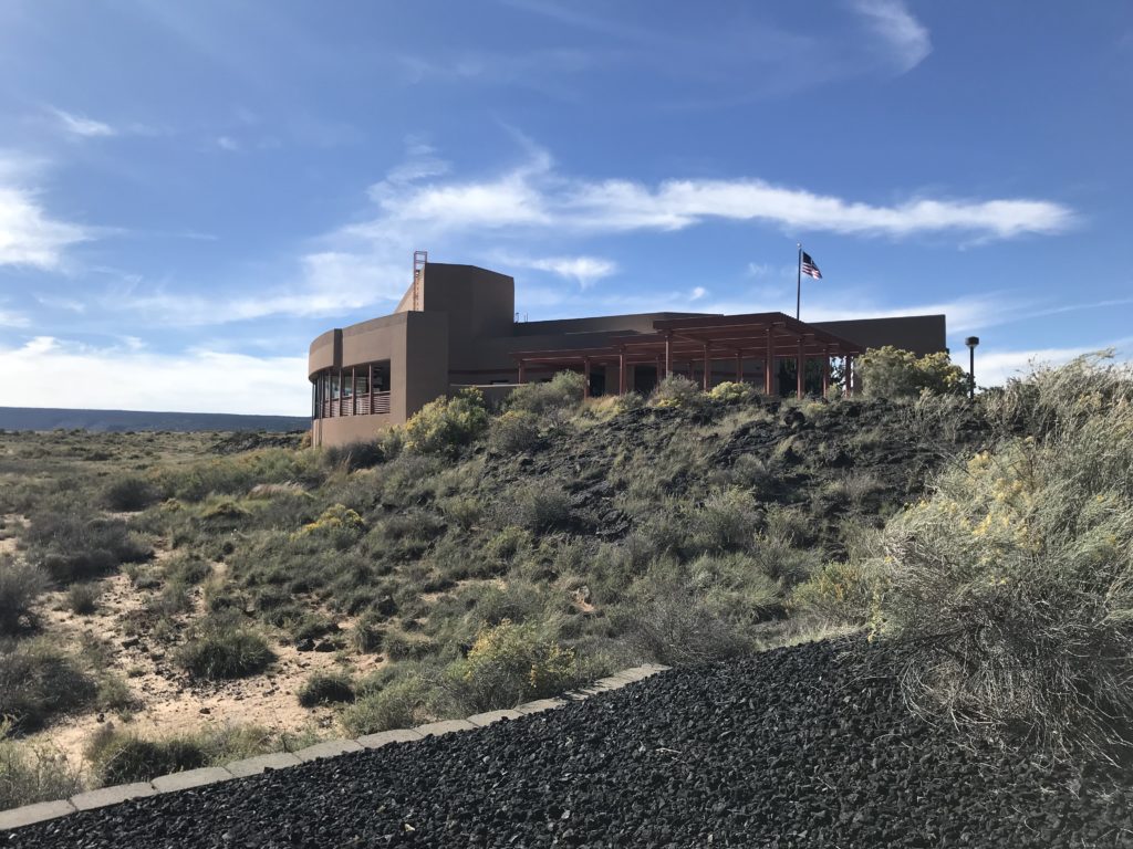
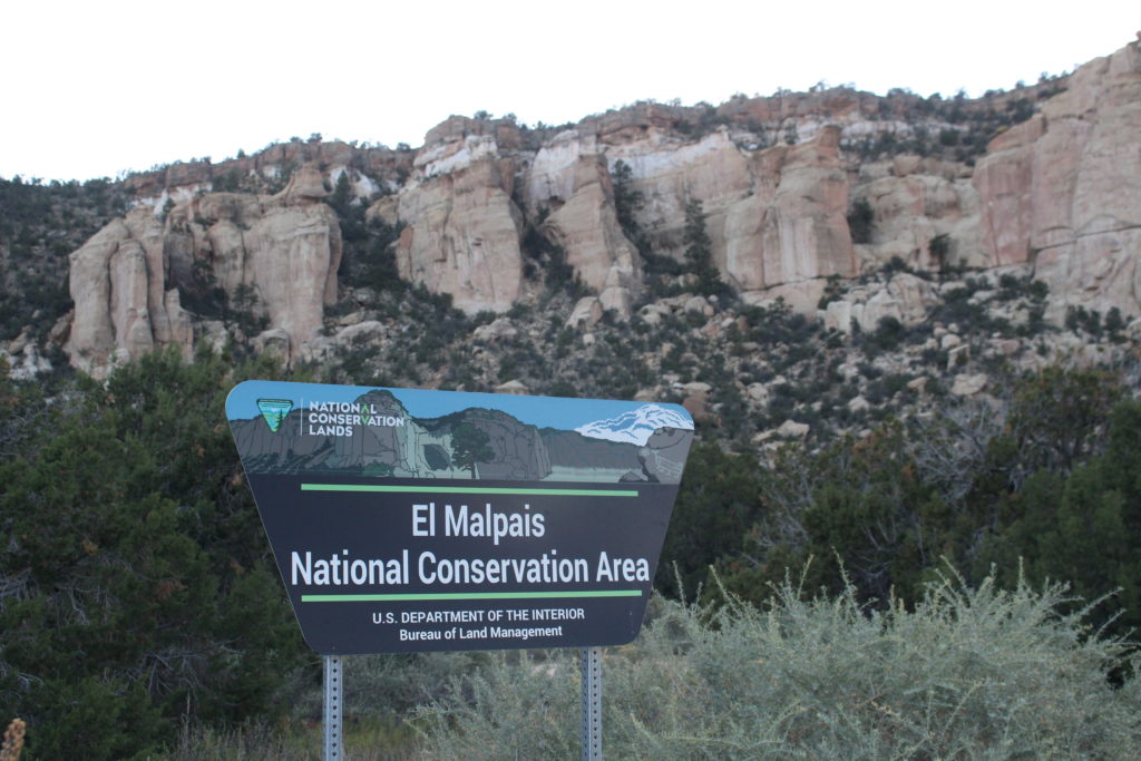
Tom and I started at the Visitors Center which is very new at Exit 85 on I-40. The Visitors Center is jointly owned by the National Park Service and the Bureau of Land Management. The National Monument is administered by the NPS but it is surrounded by the El Malpais National Conservation Area administered by the BLM. The National Conservation Area preserves a buffer between the monument and the Navajo reservation to the west and the Acoma reservation to the east. At the Visitors Center we saw the movie and looked through the displays about volcanic activity in the area. One of the rangers recommended the Lava Falls Area for hiking. We decided this would be a good way to see the lava fields up close and personal.
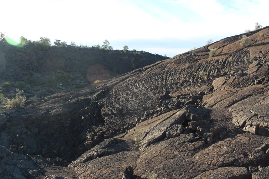
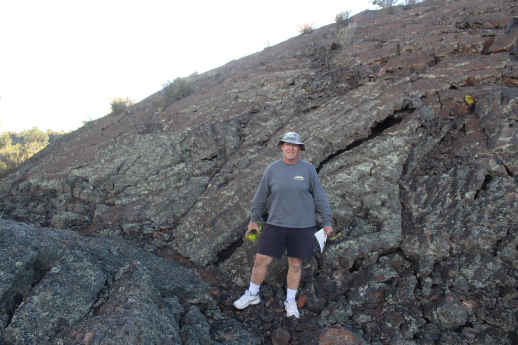
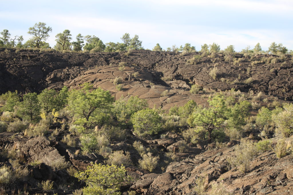
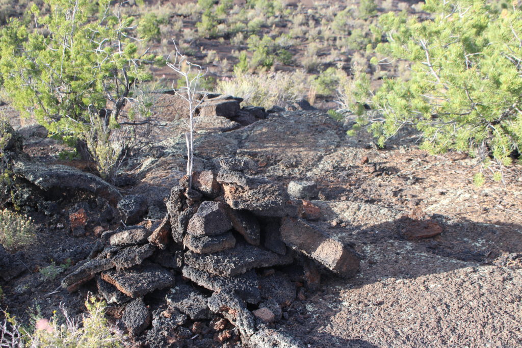
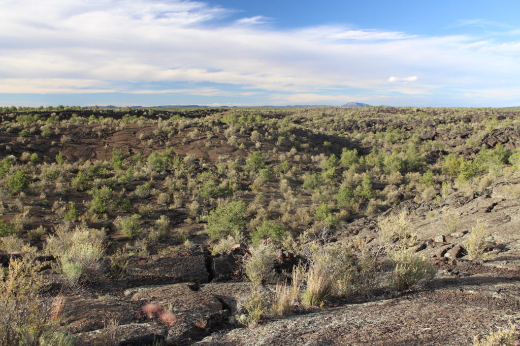
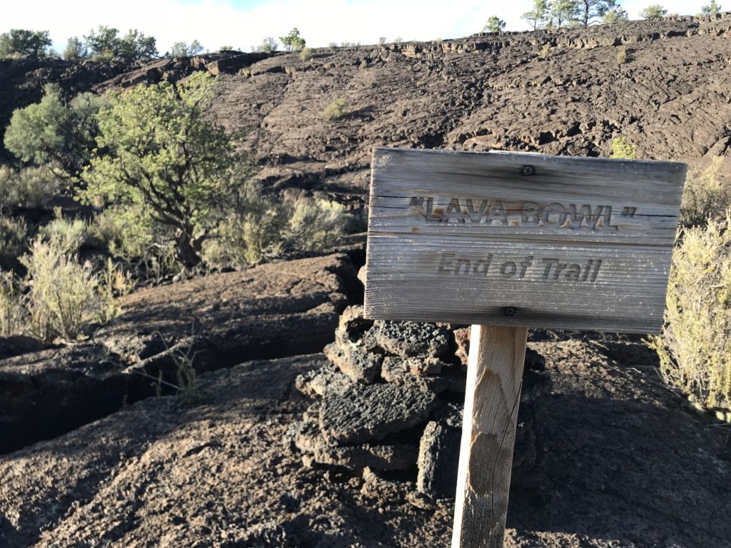
From a distance, any lava field looks black and flat. But up close, lava fields are undulating crevices, tubes, and holes. We walked the 1.5 mile Lava Falls loop and found we had to pay careful attention. First, because we were surrounded by miles of lava, we had to be careful to stay on the trail. It was well marked with lava cairns, but sometimes the cairns blended into the landscape. The trail guide suggests that you spot the next cairn before you move on. One time we wandered off the trail and it took us while to find the cairns again. When all the rock is black, the cairns can be hard to see. We walked the trail just before sunset and, by the time we finished, the cairns were much harder to spot.
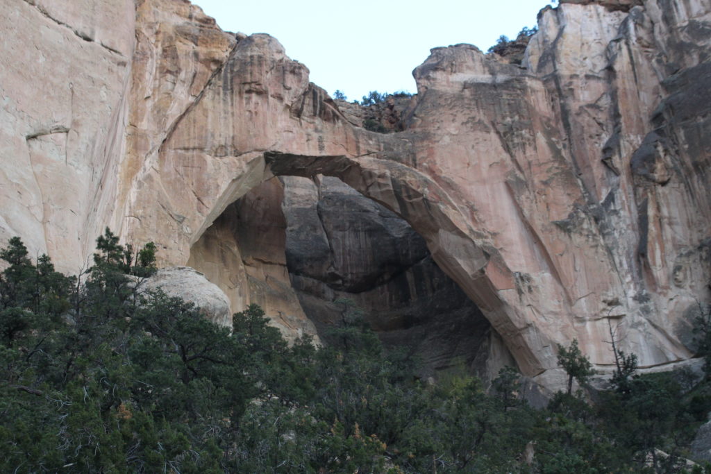
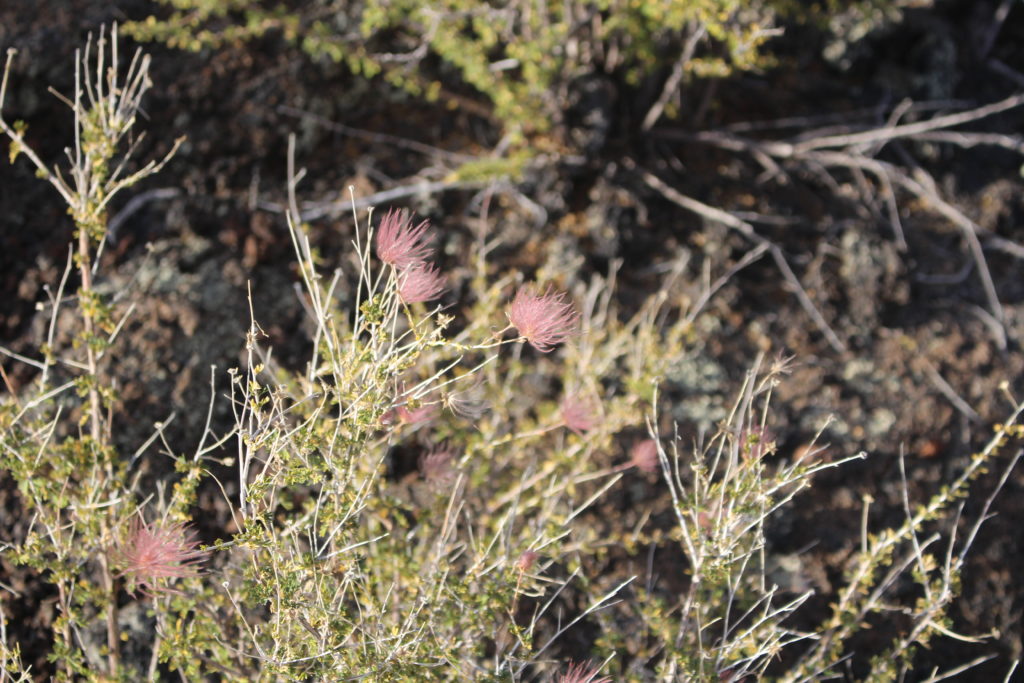
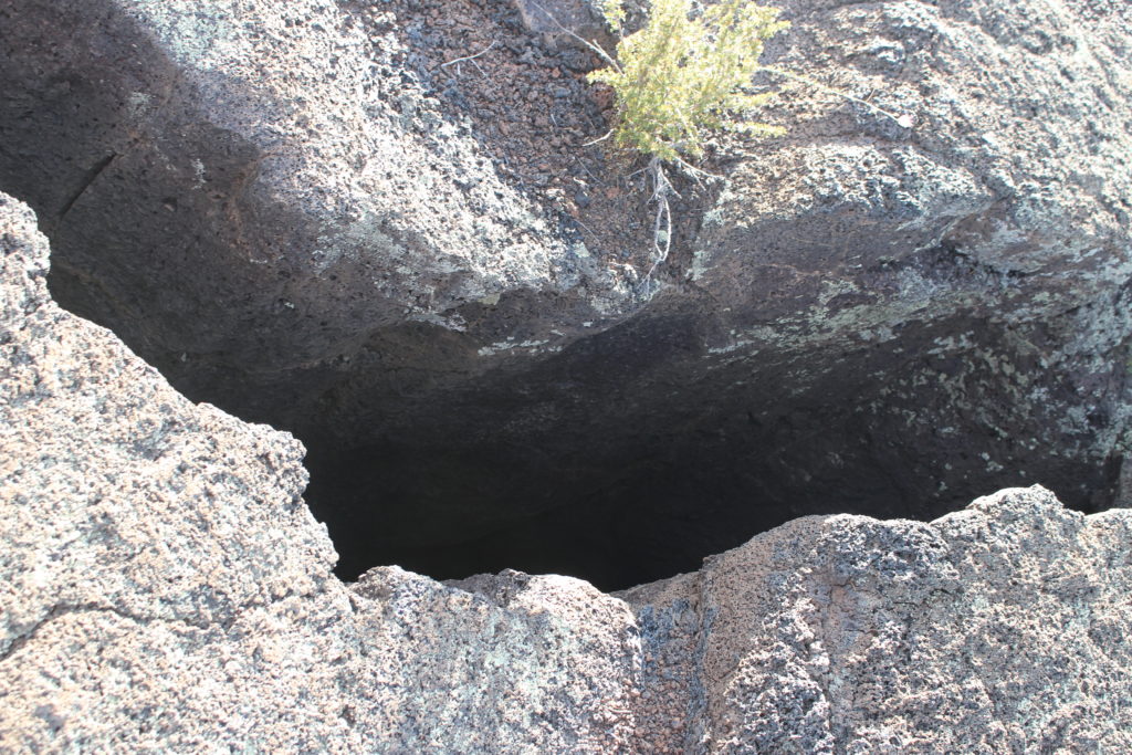
The second reason to pay attention is because there are deep crevices and holes in the lava. Some of them are lava tubes that collapsed, and some are holes formed by erosion. But the lava is rarely smooth and even, so you have to watch where you step. Some of the crevices were only a few feet deep, but others were 15 or 20 feet deep. We wouldn’t want to fall in one of those! The hike was beautiful and not treacherous as long as we watched where we were going. We saw lava toes, xenoliths, tachylite, pahoehoe, and pressure ridges.
We drove back along NM 117 to I-40 and got to watch the sunset to the west over the lava fields. Pretty spectacular! The next morning we drove along the western edge of El Malpais. We saw El Calderon and the Ice Caves. We didn’t go in the ice caves because they are privately owned and not part of the National Monument.
Although we have seen a lot of volcanoes and lava in the last year, El Malpais was interesting. We were glad we stopped and took some time to walk around.