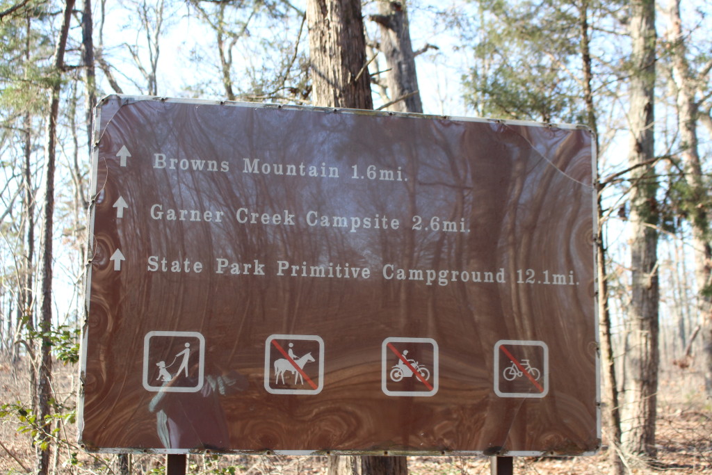
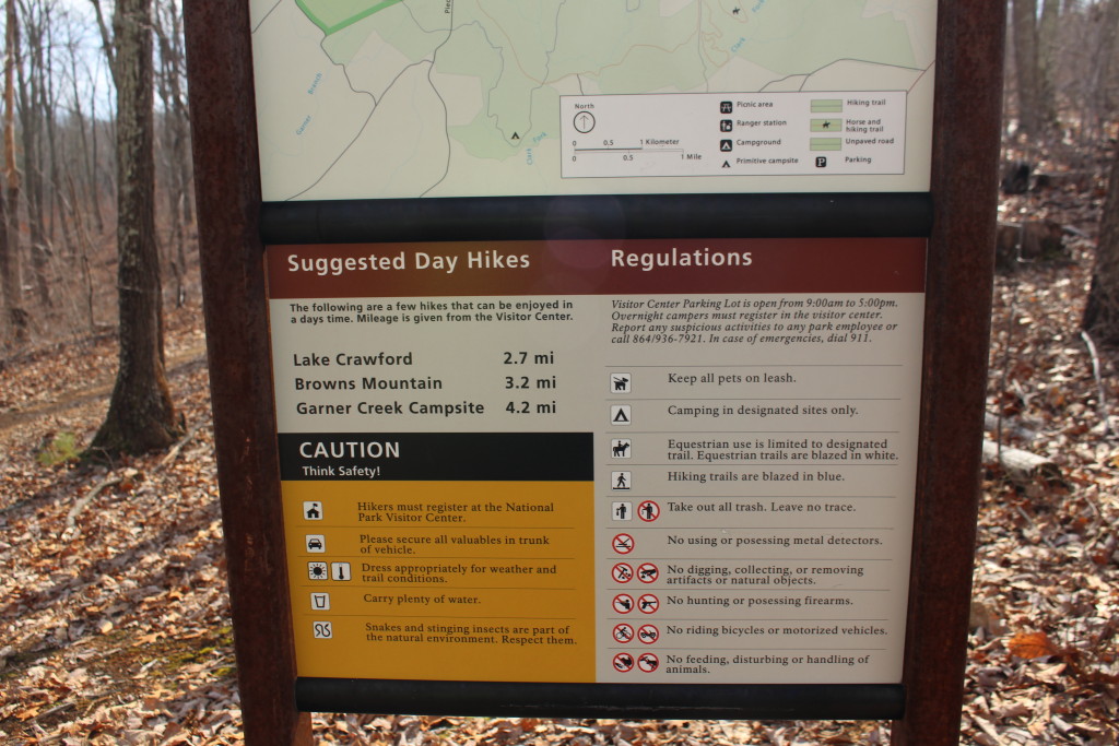
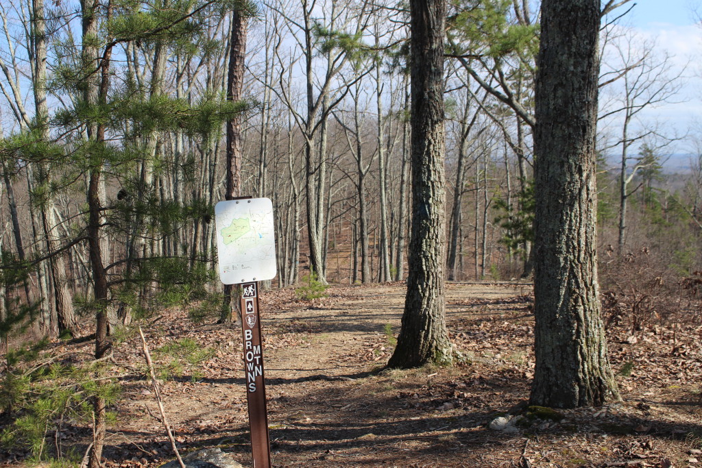
One of the hikes Tom and I recommend to people who come into the Kings Mountain NMP Visitors Center is the Browns Mountain Trail. From the Visitors Center this is an out-and-back trail that goes to the top of Browns Mountain, the tallest point in the park. The trail is about six miles round trip, with only 300 feet elevation gain, so it is a good hike without being too much. Even though Tom and I recommend the trail, we hadn’t actually been on it and we don’t like to recommend something we haven’t tried.
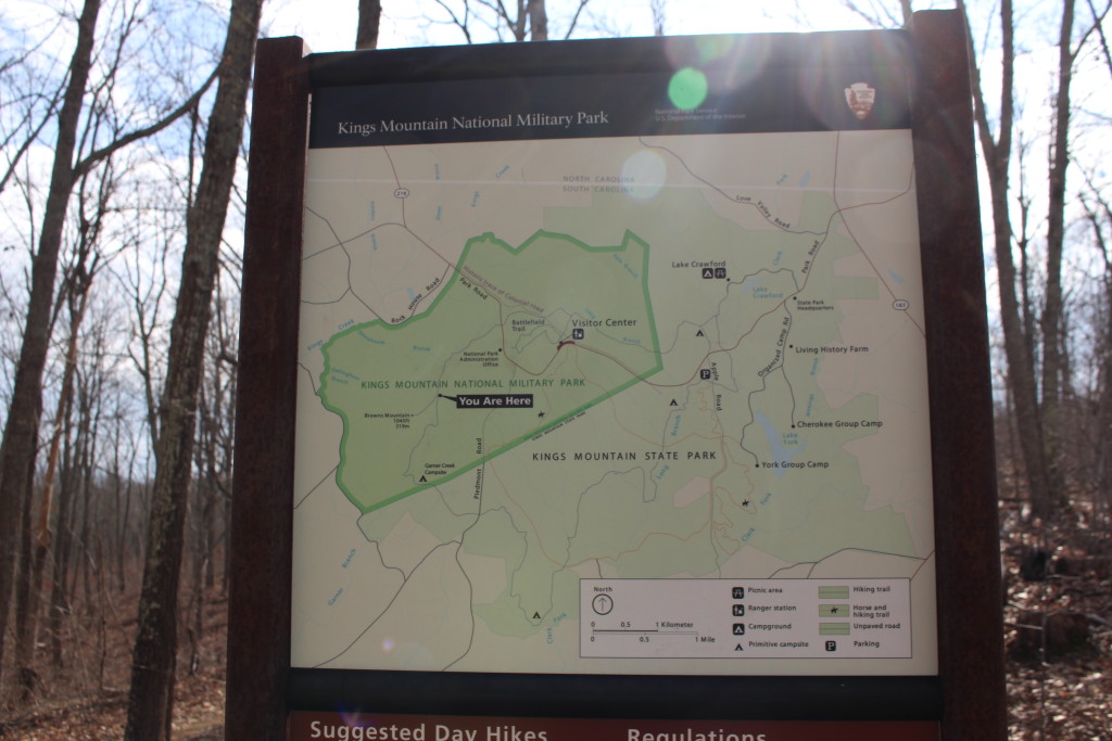
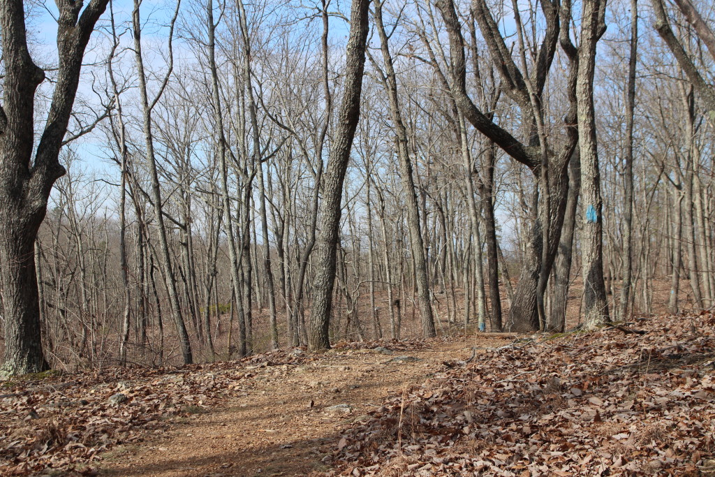
Monday we took advantage of the beautiful weather and headed out on the trail. The trails in the National Park are well marked, usually with maps, blazes and arrows. We had no problem finding the trailhead or staying on the trail.
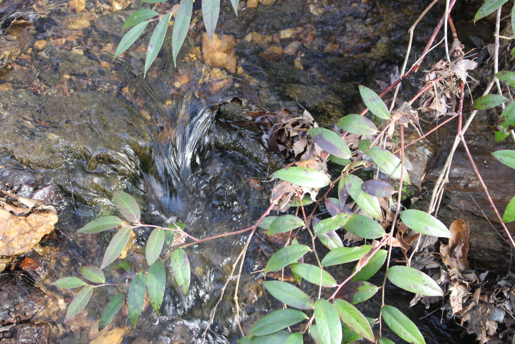
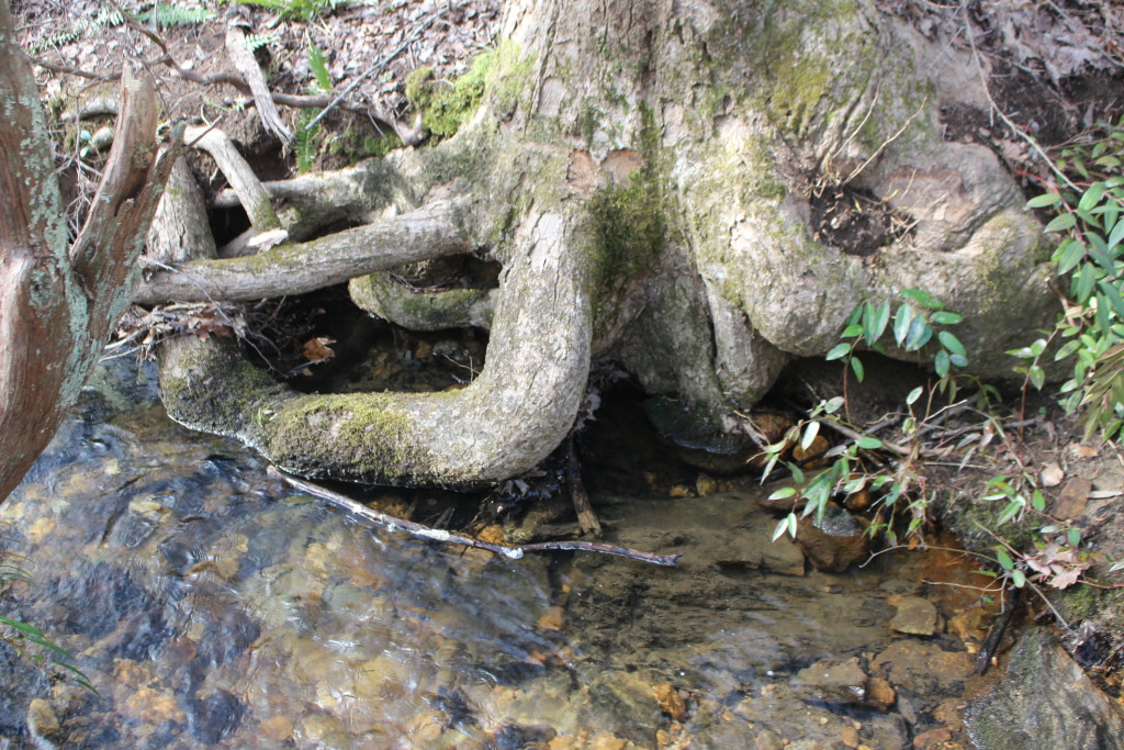
We walked through a valley with a lovely, gurgling stream. The spring peepers were out in full chorus. We were surprised to hear them so early, as they are supposed to be the heralds of spring, but the daffodils are blooming so I guess it makes sense.
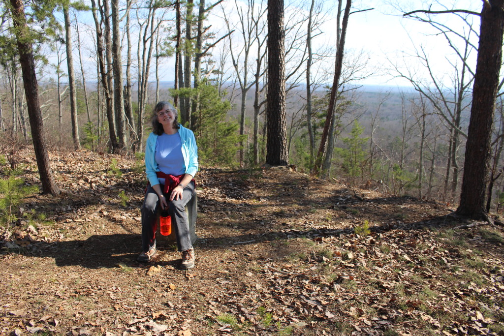
The climb up Browns Mountain was not very strenuous but I did have to stop to “admire the view” a couple of times. The top of Browns Mountain (elevation 1,045 feet) used to have a fire tower, but now only the stone foundation remains. We could see the Blue Ridge Mountains in one direction and Crowders Mountain in the other direction.
Browns Mountain trail is part of a loop trail that is 16 miles and goes through the National Military Park and the State Park. There is a primitive campsite that can be used for free if you register at the Visitors Center, so the loop would be a good overnight hike.
Now that we have done the Browns Mountain hike, we can recommend it with confidence. Always a good thing to know what you are talking about!