
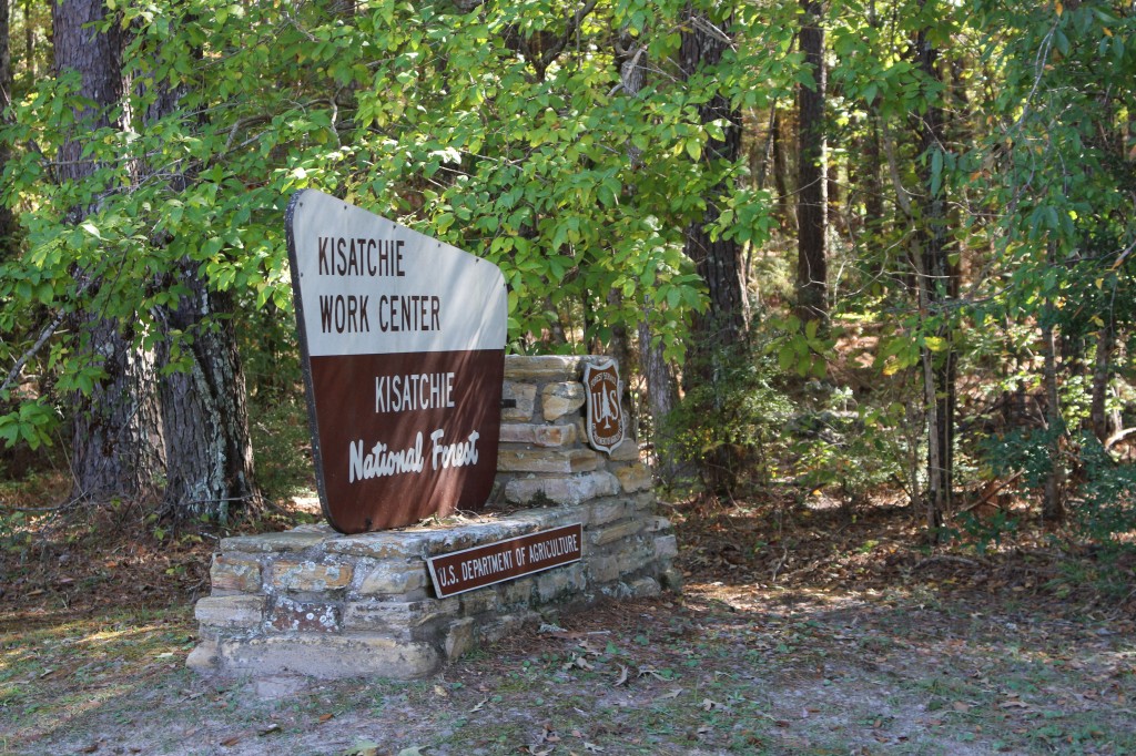
According to a publication from the USDA Forest Service, the Grand Canyon of Louisiana is the Kisatchie National Forest Kisatchie Hills Wilderness Area in Northwestern Louisiana. This sounded like a pretty official designation, so Tom and I were looking forward to seeing it.
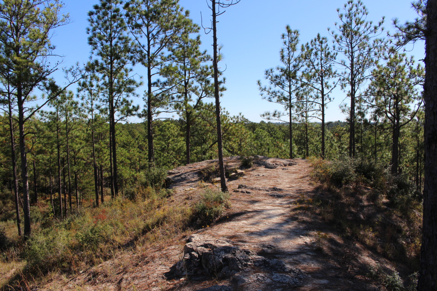
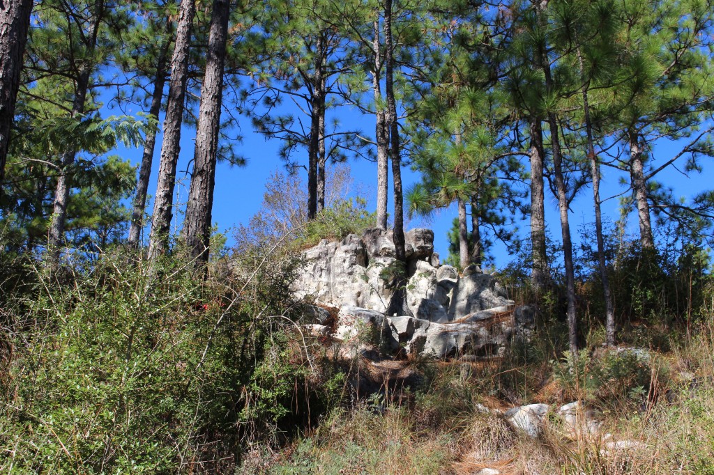
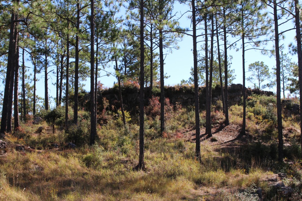
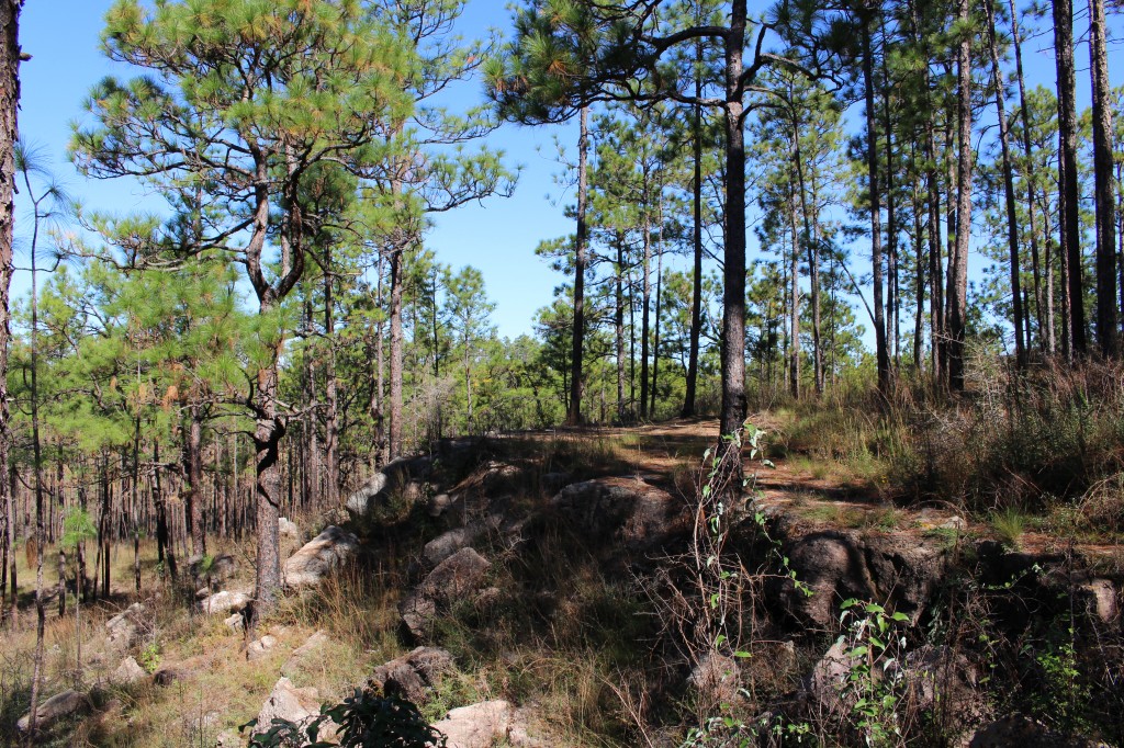
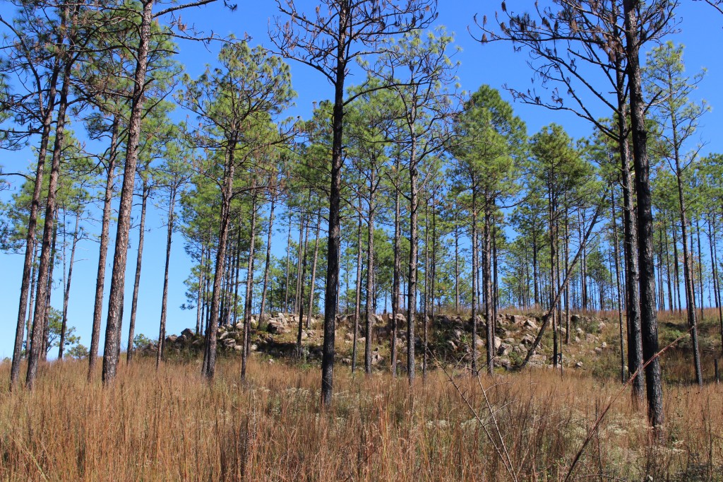
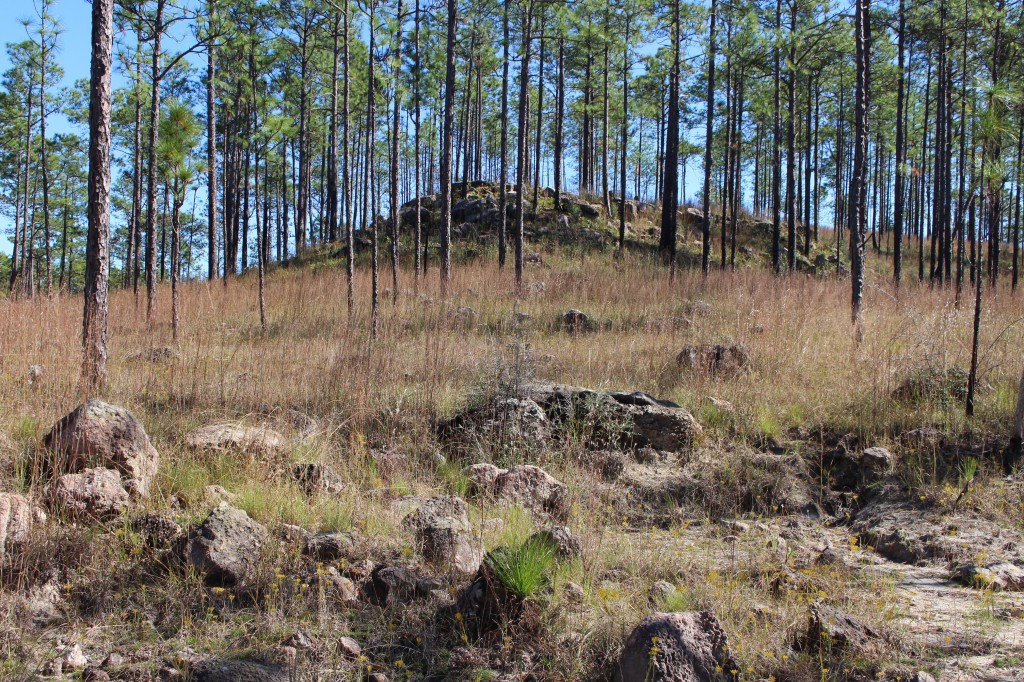
We drove the Longleaf Trail Scenic Byway, Forest Highway 59, on a beautiful warm day late in October. The traffic was light so we were able to pull off the road to read signs or look at scenic vistas along the way. The Kisatchie Hills Wilderness Area is 8,700 acres and we were not able to identify one area we would call a “Grand Canyon,” but all of it was a beautiful valley with hills and a mature forest around it. Vistas along the road include mesas, buttes and sandstone outcrops, backdropped by longleaf pines. Unfortunately those same longleaf pines kept me from getting good pictures of the vistas. I couldn’t see the view for the trees!
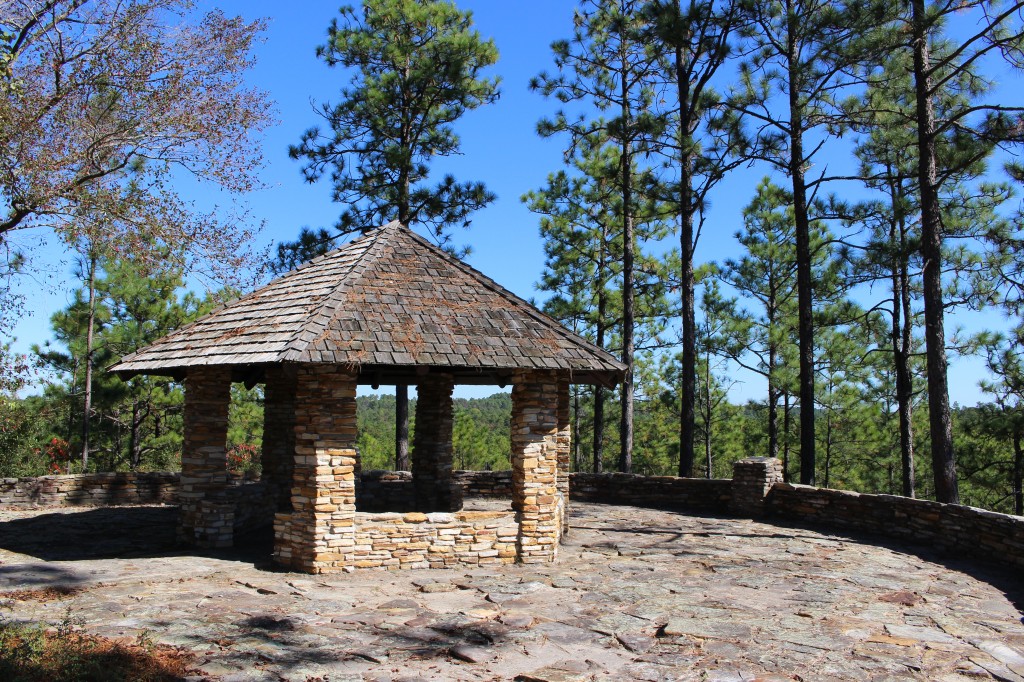
Longleaf Trail Scenic Byway goes through the heart of Kisatchie National Forest for 17 miles. We started at the Visitor’s Center (a restroom and gazebo with some maps on a kiosk) and took the 1.5 mile Longleaf Vista Nature Trail. It was a well-marked trail with many scenic views. You could see a long way over a rugged valley which is deep considering it is in Louisiana. Elevations ranged from 120 to 400 feet above sea level.
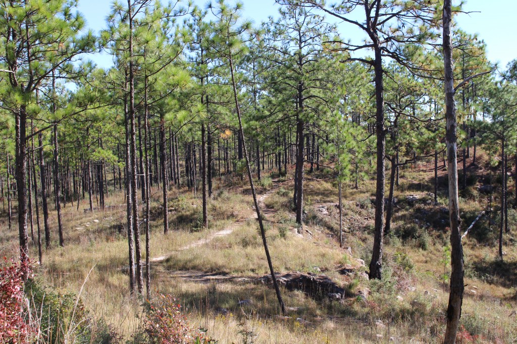
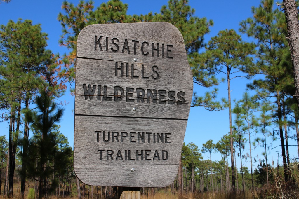
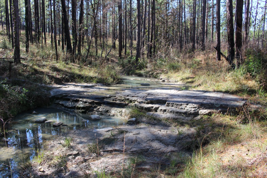
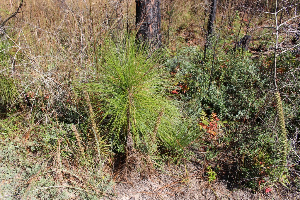
This is a wilderness area, so trails are not well-marked or well-advertised, but they were not hard to follow. The Backbone Trail is seven miles long and intersects the other wilderness trails. High Ridge Trail is 1.5 miles in length and is said to have the best scenery because it follows the highest ridge line. We hiked the 1.5 mile Turpentine Ridge Trail which follows Turpentine Hill and then goes by a series of springs. The Explorer Trail is the shortest trail, 1/2 mile, with advertised views of sandstone outcrops. We could not find this trail. There had been a recent forest fire (maybe in 2013) and we think the signs for the trail had burned down and not been replaced yet. The Caroline Dorman Trail is an equestrian trail.
The Sandstone Multiple-Use Trail in neighboring Red Dirt Wilderness Area is a popular trail with ATV riders. It can also be used by horses and mountain bikes. Hunting is allowed in the Kisatchie National Forest, so it is important to wear bright colors when hiking during hunting season.
To get to Kisatchie National Forest, take Interstate 49 in Louisiana to exit 119, then turn south of Louisianna 119. Turn right (west) on Forest Highway 59 – Longleaf Scenic Byway. All the trailheads and scenic overlooks are well marked. There are many driveable roads off FH59, but they are dirt or gravel and get narrower as you go along.
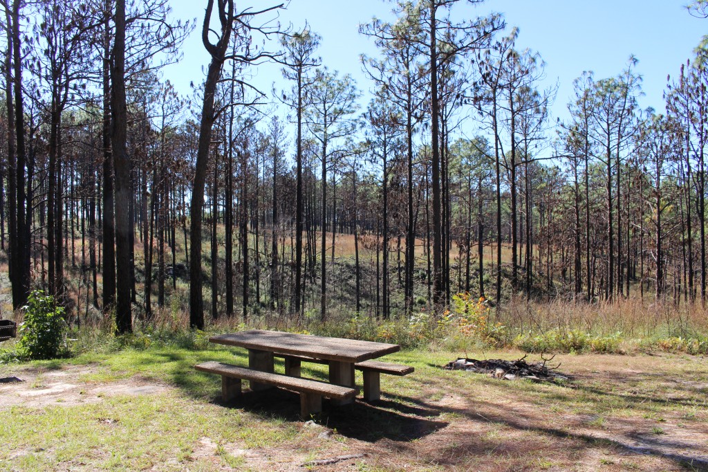
There are many places to camp in the Kisatchie National Forest. Campgrounds are primitive but well marked and all of them have pit toilets. You can drive in to most of them if you are willing to drive on the narrow dirt roads.
It felt like we had the forest all to ourselves the day we were there. We only saw two other trucks on the road and only one parked at a trailhead. Kisatchie National Forest is a place of quiet and solitude – at least during the week. I have a feeling it is a noisy and popular place for ATVs on the weekends.
Two “grand canyons” down – 48 to go!
Hi Karen, thank you so much for putting effort in writing about your trips. I would love to spend time with my boyfriend exploring national parks and enjoy the wildness. this page now in my bookmark 🙂
Welcome to the blog! I hope you and your boyfriend get the chance to do lots of exploring – the national parks in the United States are beautiful and diverse.